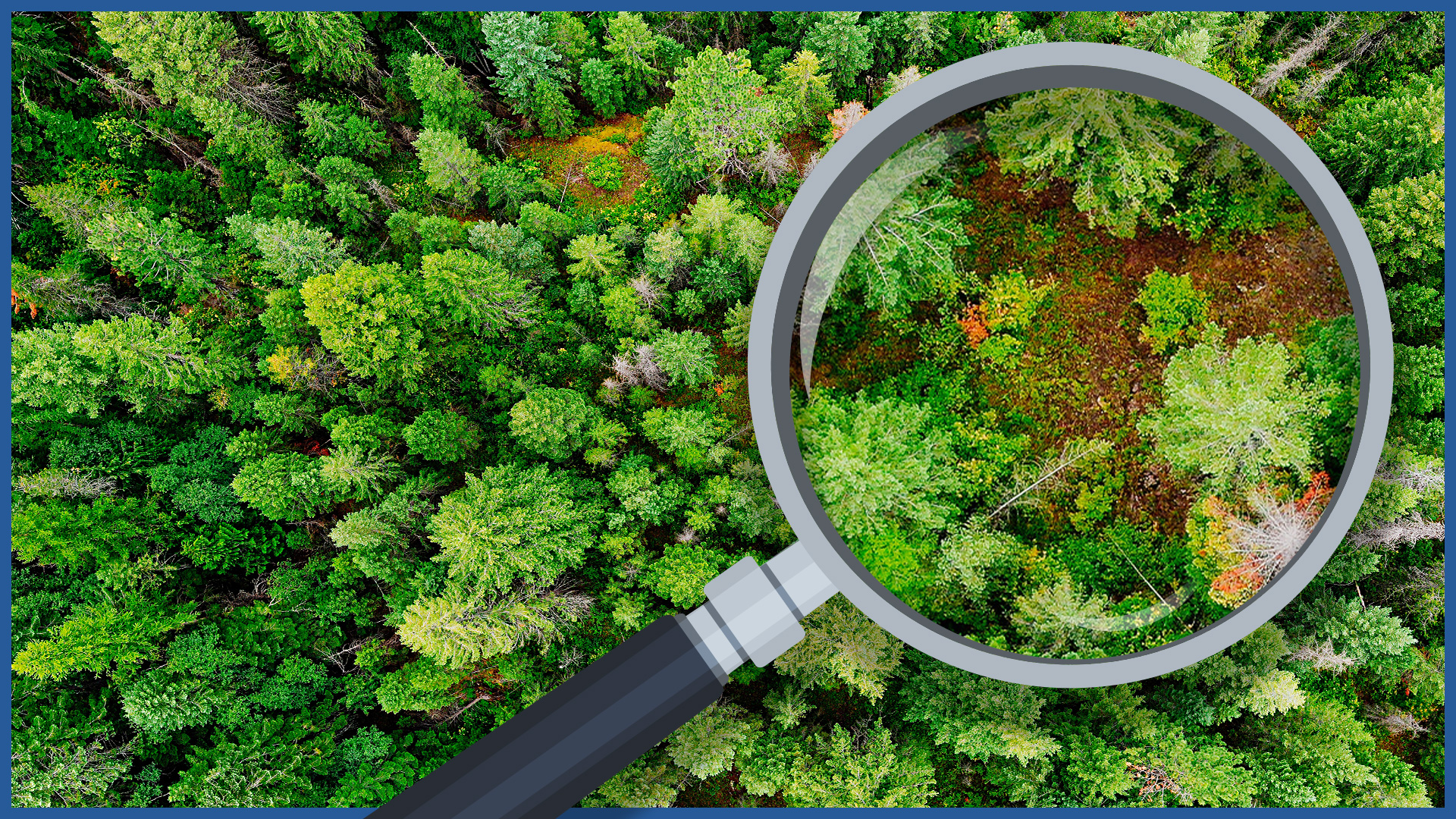
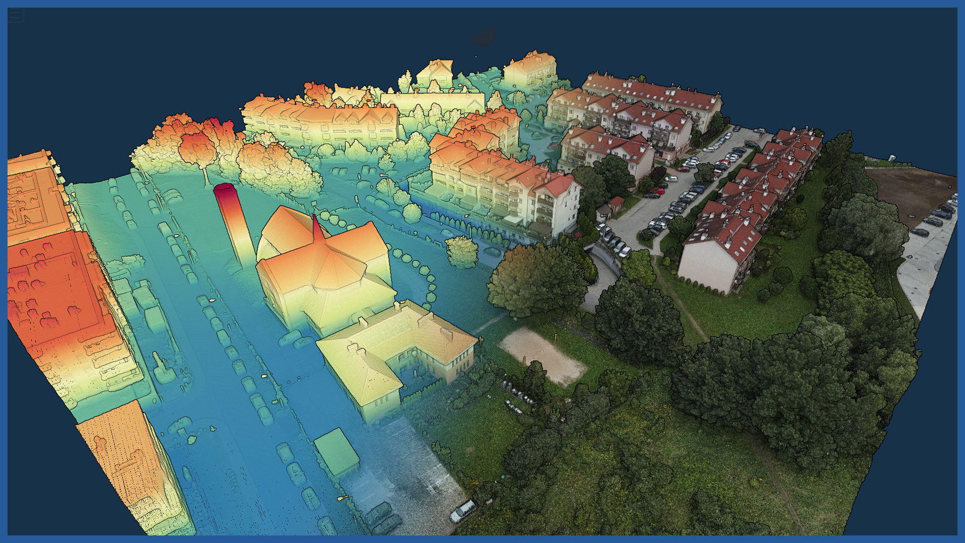
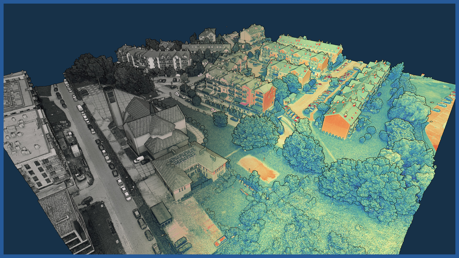
We produce maps of real vegetation that are a faithful reflection of the current state of greenery. The map is created on the basis of high-resolution orthophotomap and airborne laser scanning.
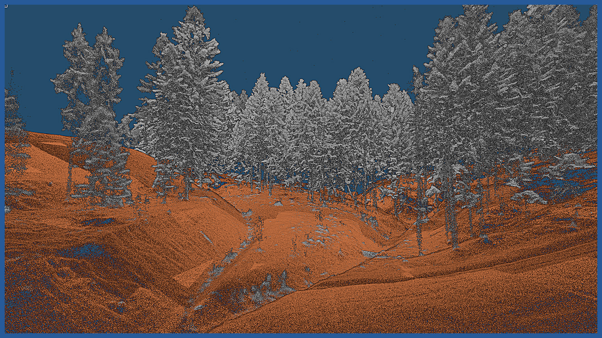
The technology we use allows us to quickly penetrate hard-to-reach forest areas, greenery complexes and create a numerical terrain model, as well as acquire information inside the complex to identify trees, their species, height and size measurements.
Digital documentation has a wide range of data, based on which a number of studies and reports can be made for proper greenery management.
The green map is an accurate product with spatial information (terrain model). In addition to the high-resolution image, it contains a range of additional information, including crown shape and tree height, ground relief. It thus becomes an excellent basis for making greenery management projects and environmental reports. Thanks to the aerial technique used, it repeatedly shortens the time of data acquisition, making them fully up-to-date. Georeferencing of the study allows us to supplement the map with information from the real estate cadastre (administrative boundaries, parcel boundaries, spatial plans and environmental decisions).
Monitoring of greenery changes is carried out by comparing the made maps from different periods. Visualization allows us to control the process of change over time and document differences as a result of investment activities or due to, for example, natural disasters.
Among a number of applications of greening are:
– inventory of forest areas and complexes, verification of legal status
– measuring the actual biological area before and after the investment
– estimation of damage caused by human activities or the environment
– analysis of the health status of trees.
ORTHOPHOTOMAP CHARACTERISTICS:
| Data format | GeoTIFF / JPEG / PDF |
| Ground Sampling Distance | od 1 cm |
| Accuracy | <3 GSD |
| Coordinate System | adapted to project |
| Color palette | 24 bit RGB |
| Compression | LZW / JPEG |
POINT CLOUD CHARACTERISTICS:
| Point cloud density (LiDAR) | ~400 pts/m2 |
| Point cloud density (photogrammetry) | ~2500 pts/m2 |
| Accuracy | <3 cm |
| Data format | LAS / LAZ / E57 / TXT |
| Color palette | RGB / monochromatic / by elevation |
| Classification | ASPRS standard |
| Coordinate System | adapted to project |
DSM / DTM CHARACTERISTICS:
| Data type | raster / vector |
| Data format | GeoTIFF / DWG / DXF / DTM |
| XY accuracy | <3 cm |
| Z accuracy | <3 cm |
| Coordinate System | adapted to project |
| Vertical Reference System | adapted to project |
/ OTHER FROM ENVIORNMENT
- vegetation maps
- inventory of greenery, forest complexes
- collisions of vegetation with objects
- inventory and monitoring of felling
- measurement and modeling of river valleys
– embankments inventory
– hydrotechnical facilities inventory


