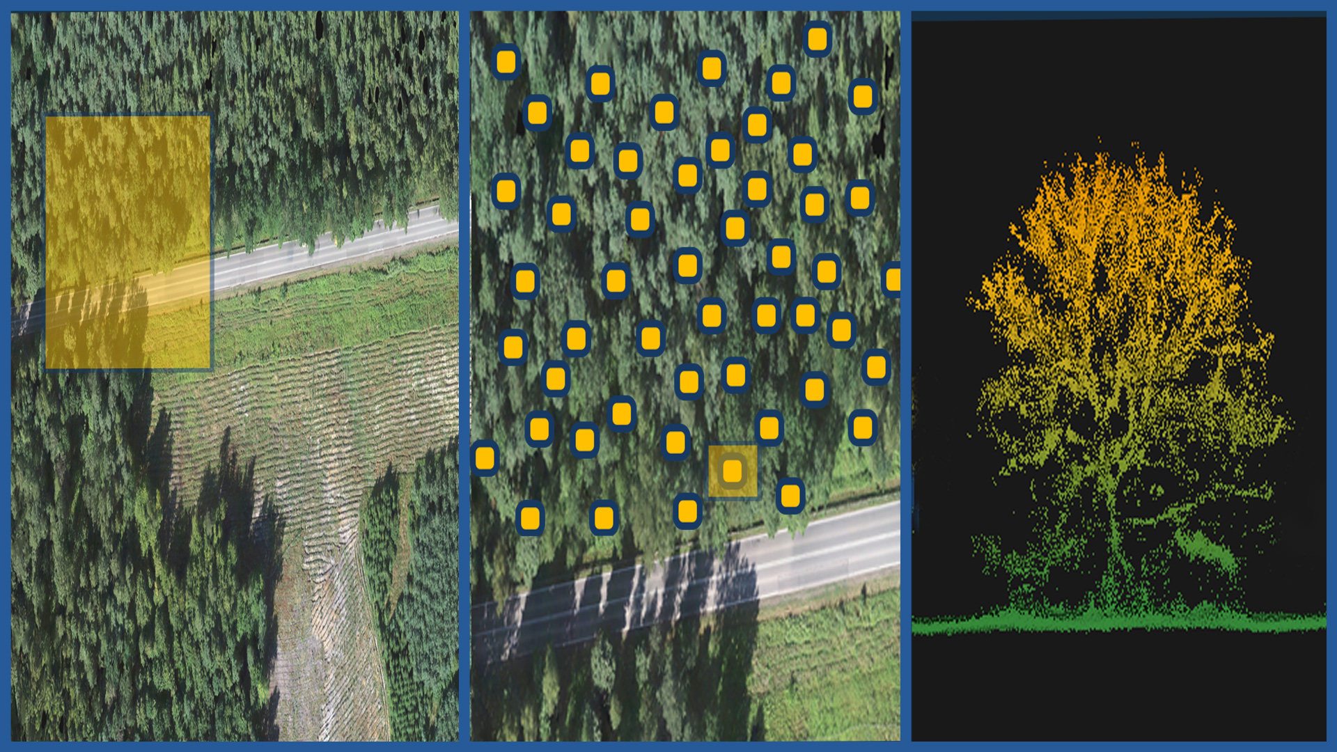
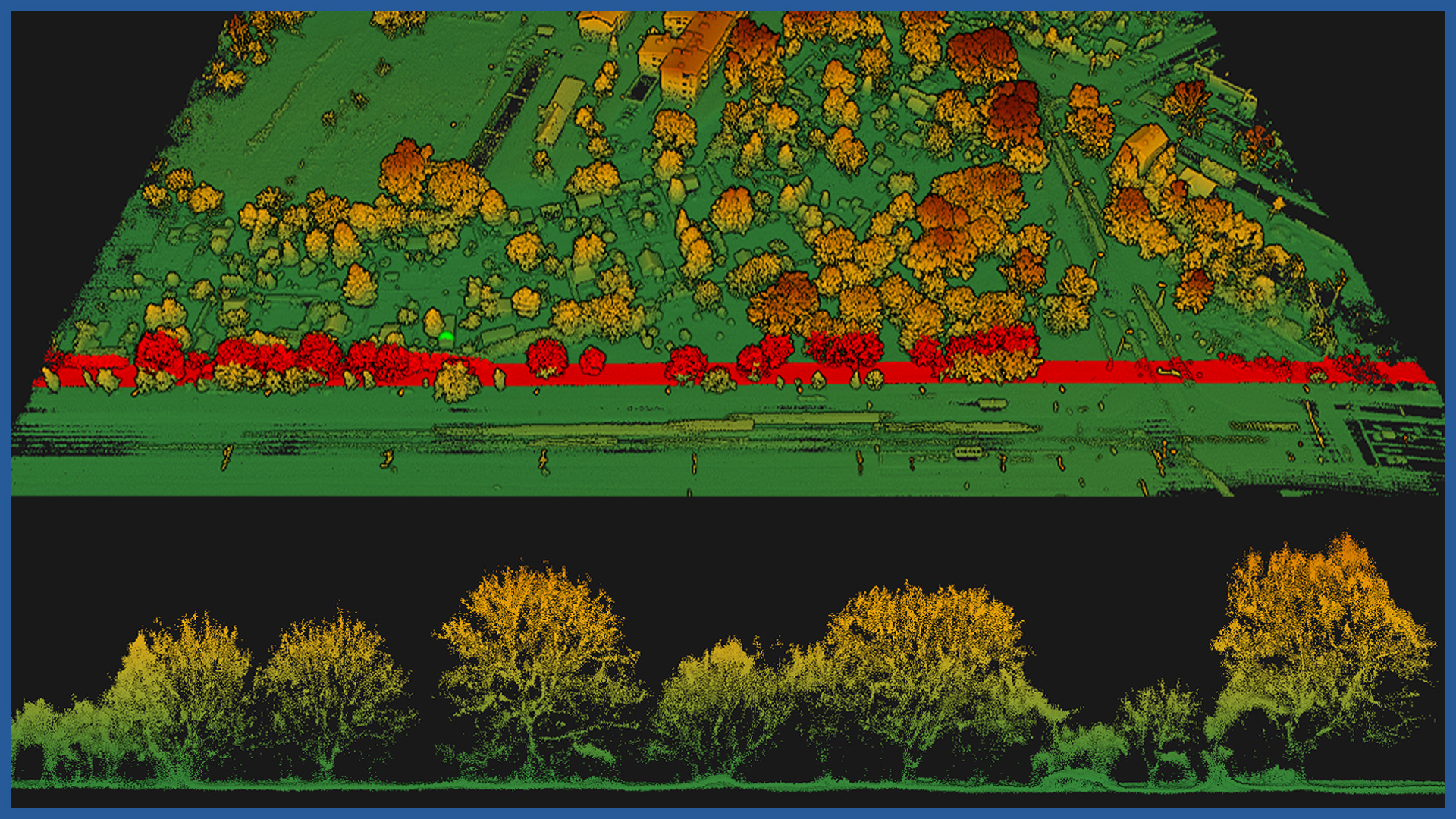
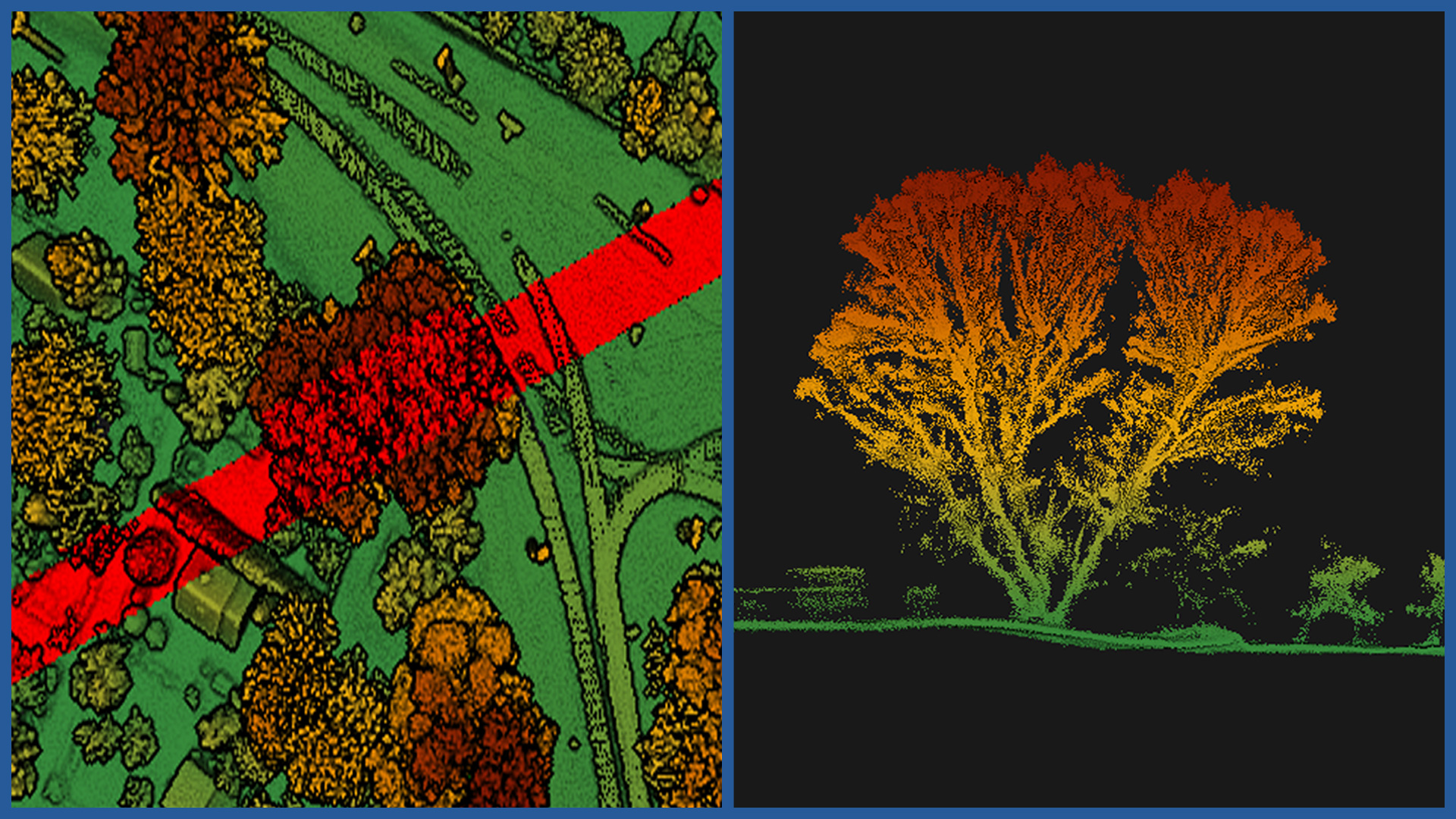
We make a detailed inventory of forest complexes, parks, gardens and individual trees in terms of areas, locations and stand characteristics. We use the method of airborne laser scanning combined with low-altitude photogrammetry.
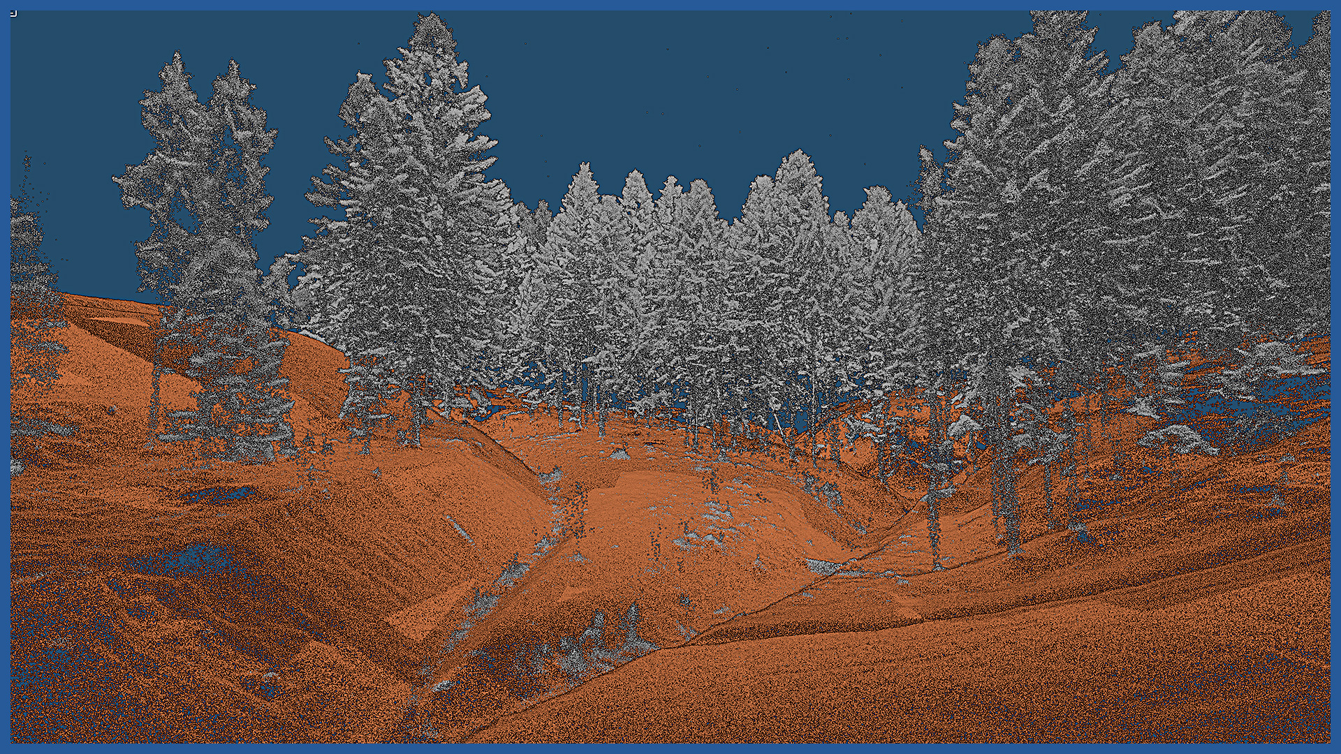
Our technology and equipment allow us to fly at lower altitudes and at lower speeds than measurements from an airplane. This allows us to create a denser and more precise point cloud, as well as greater penetration into the complex. The result is better classification of trees, more accurate modeling of crown, shape and ground.
Documentation is the result of precise measurement, not estimation.
The technology used allows for detailed and accurate:
– inventory of forest complexes, parks and urban areas, allotment gardens
– inventory of forest stand, its selected features
– quantitative, area and volume summaries
– assessment of the condition of trees, presentation of trees damaged or developing abnormally
– monitoring of the condition of greenery, comparison of changes
– location of greenery against the background of real estate cadastre data, overruns.
We use advanced algorithms and programs for automatic detection and classification of objects, so we can quickly obtain quantitative data, as well as perform clustering and segmentation of objects.
POINT CLOUD CHARACTERISTICS:
| Point cloud density (LiDAR) | ~400 pts/m2 |
| Point cloud density (photogrammetry) | ~2500 pts/m2 |
| Accuracy | <3 cm |
| Data format | LAS / LAZ / E57 / TXT |
| Color palette | RGB / monochromatic / by elevation |
| Classification | ASPRS standard |
| Coordinate System | adapted to project |
ORTHOPHOTOMAP CHARACTERISTICS:
| Data format | GeoTIFF / JPEG / PDF |
| Ground Sampling Distance | od 1 cm |
| Accuracy | <3 GSD |
| Coordinate System | adapted to project |
| Color palette | 24 bit RGB |
| Compression | LZW / JPEG |
/ OTHER FROM ENVIORNMENT
- vegetation maps
- inventory of greenery, forest complexes
- collisions of vegetation with objects
- inventory and monitoring of felling
- measurement and modeling of river valleys
– embankments inventory
– hydrotechnical facilities inventory


