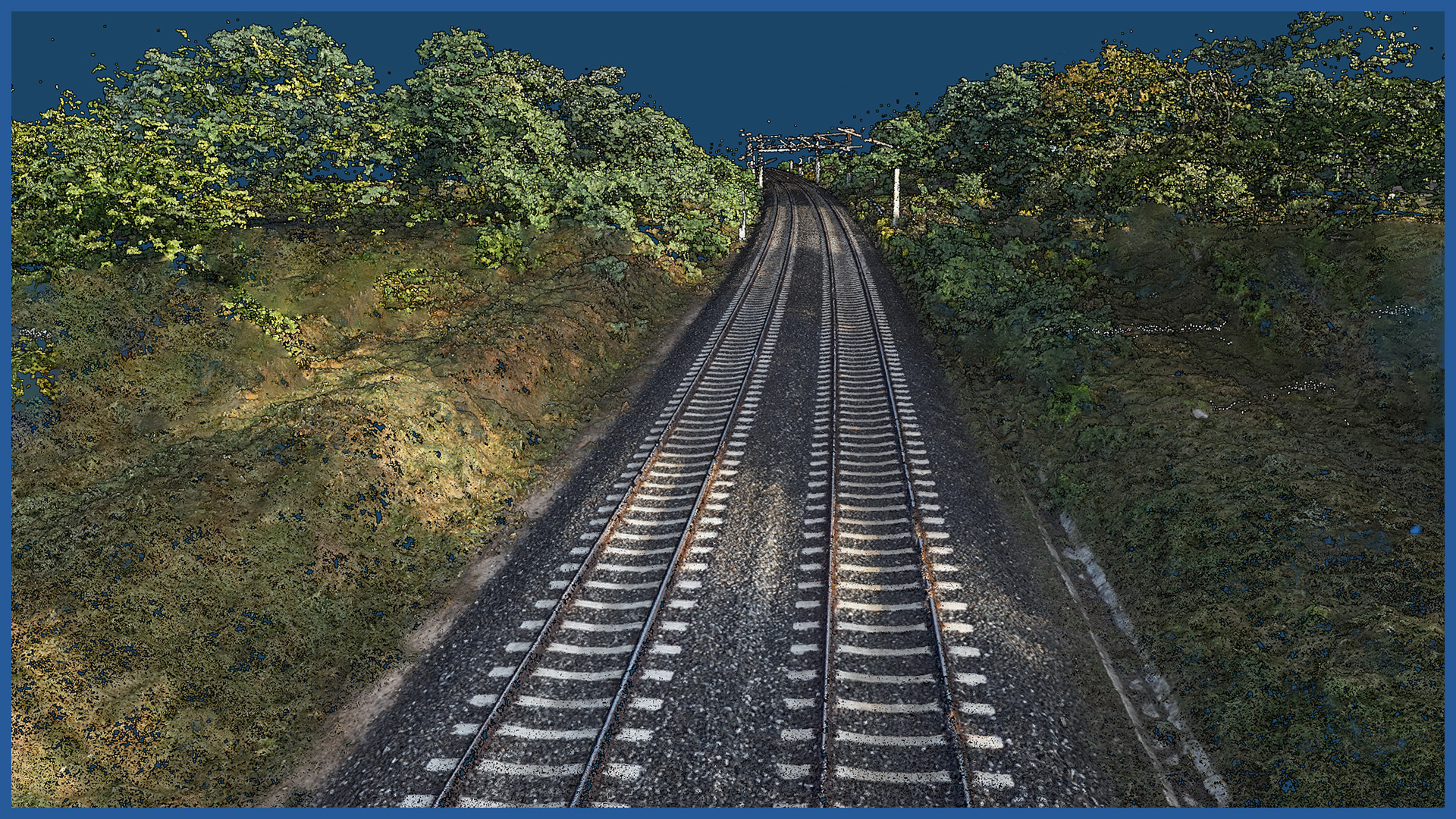
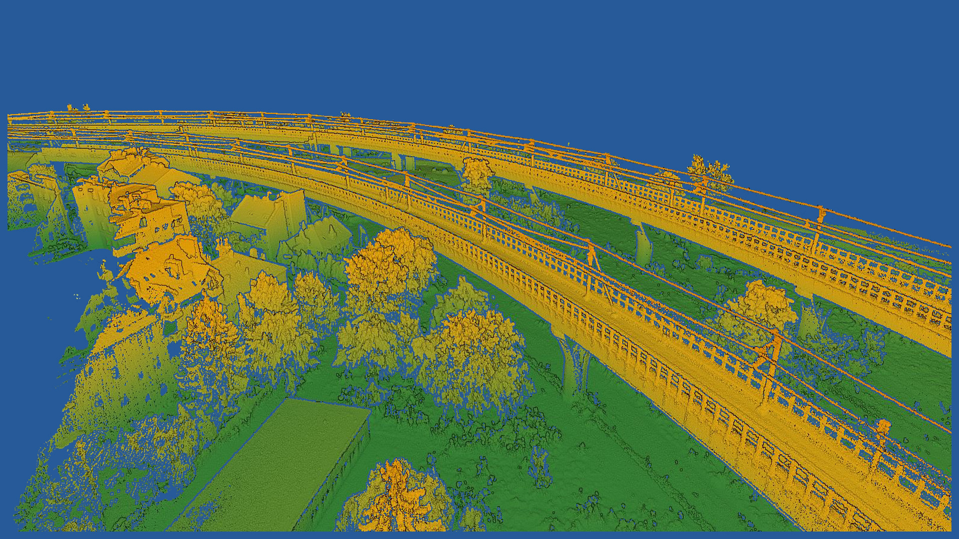
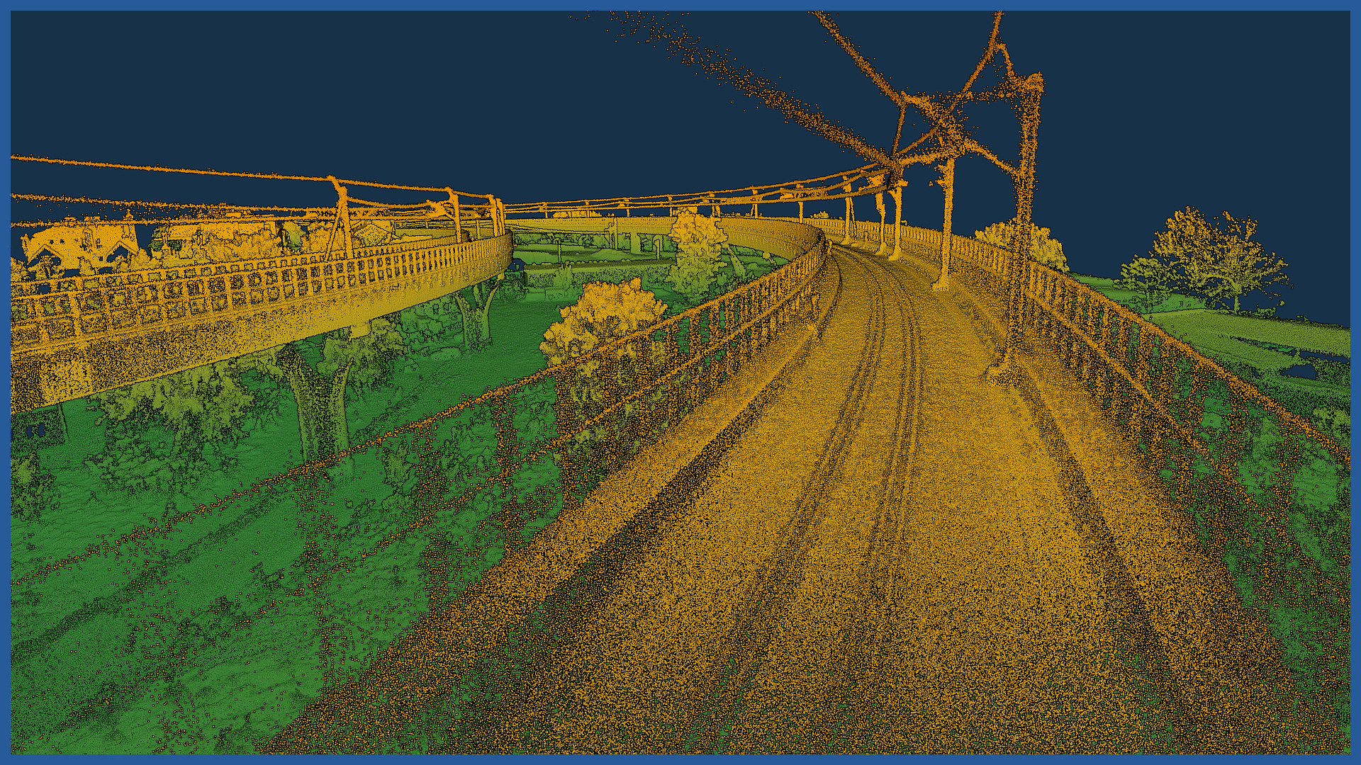
We make dense point clouds using airborne laser scanning and photogrammetric methods. This allows us to build a detailed and accurate spatial picture of the construction site and its surroundings.
Detailed point clouds allow us to perform a number of spatial analyses, including: distance, length, area and volume measurements for selected elements.
Using specialized software, we automatically classify the point cloud into individual categories (e.g., land, buildings, greenery by category) and transmit them to the client in data exchange formats accepted by the client. Most design support software works with point clouds developed by us.
We can automatically prepare a number of products, including cross-sections and profiles, controlling the maintenance of gauges, calculating areas and volumes of objects and scopes.
POINT CLOUD CHARACTERISTICS:
| Point cloud density (LiDAR) | ~400 pts/m2 |
| Point cloud density (photogrammetry) | ~2500 pts/m2 |
| Accuracy | <3 cm |
| Data format | LAS / LAZ / E57 / TXT |
| Color palette | RGB / monochromatic / by elevation |
| Classification | ASPRS standard |
| Coordinate System | adapted to project |
/ OTHER FROM RAILWAY INFRASTRUCTURE
- high-resolution railway orthophotomaps
- dense point clouds
- digital terrain models
- zero measurement
- high-resolution photo/video documentation to assess the condition of the railroad:
– rails and railroad sleepers
– traction network and surrounding infrastructure
– bridges, viaducts, flyovers, engineering structures


