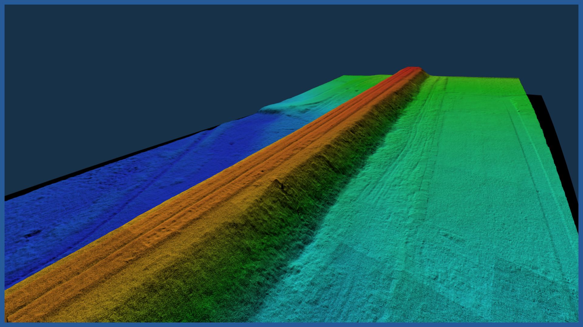
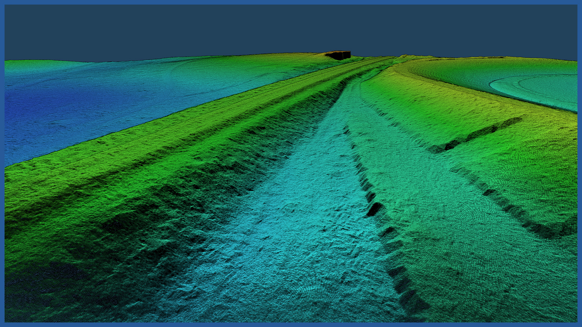
We create detailed digital terrain models along the railroad based on airborne laser scanning and low-altitude photogrammetry. A large number of collected accurate allows to create a faithful digital representation of the surface. The models are characterized by accuracy similar to those obtained from measurements with GNSS receivers and are devoid of the problem of generalization occurring during traditional surveying.
Thanks to LiDAR technology, we acquire terrain information also in areas covered by vegetation.
The speed of measurement and data processing makes the models find more and more applications in the investment process.
The density of points acquired by laser scanning is several hundred points per square meter, and from photogrammetry several thousand points per square meter. With the help of specialized software, we perform automatic point classification to identify those that represent the surface of the terrain, and on their basis we create a detailed model.
In this way, we are able to make models along the railroad line of areas that are difficult to access and covered with forest areas and agricultural crops.
LiDAR technology allows us to scan large areas quickly. This makes it possible to take cyclic measurements and, based on them, acquire comparative information for a number of analyses, including the volume of changes.
Based on the acquired data, we are able to provide cross-sections and longitudinal cross-sections in a short time or calculate the volume in relation to the layers of the project area.
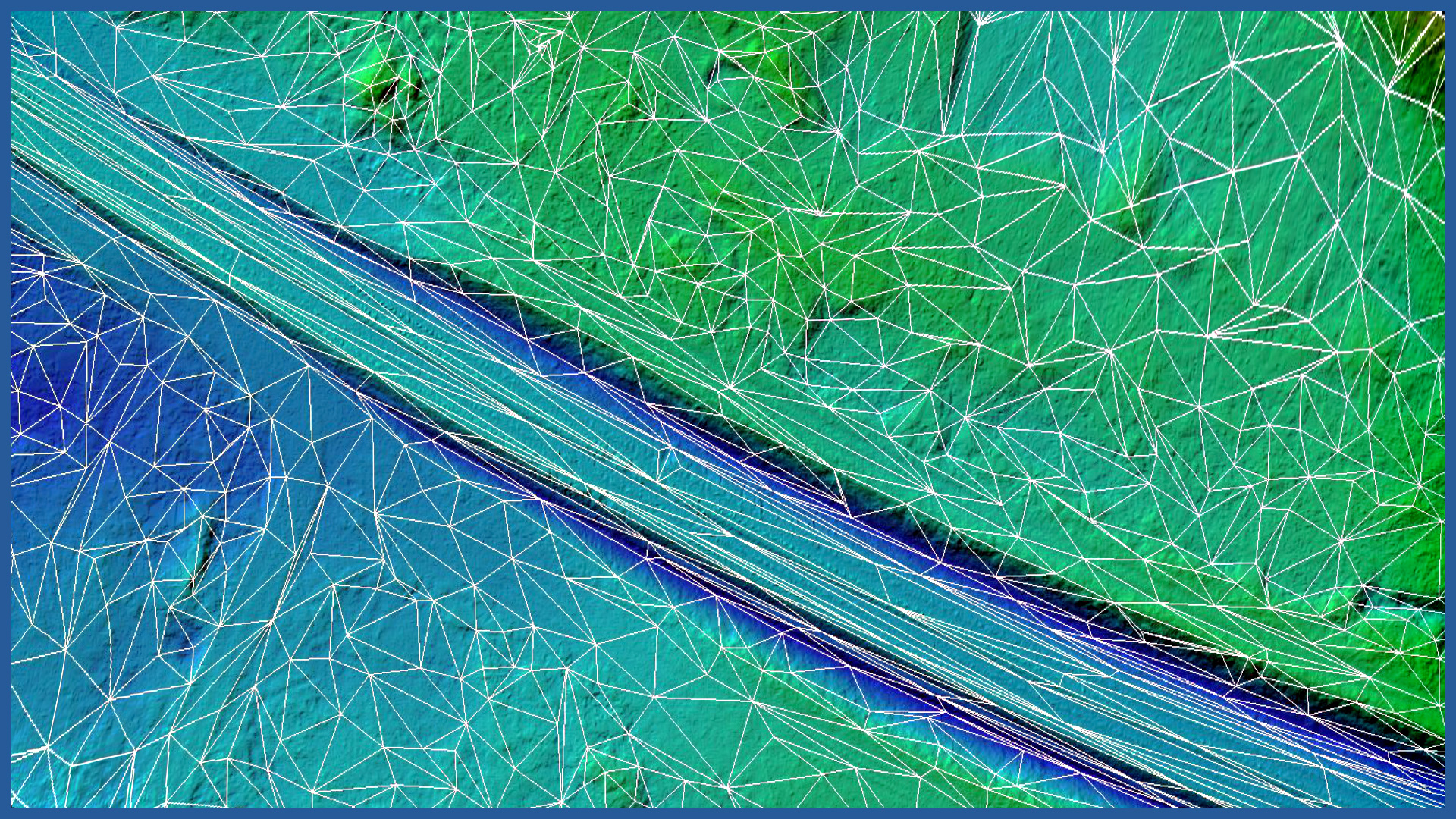
We can provide the created terrain model as:
– contour model
– triangulated irregular network (TIN)
– raster model.
DSM / DTM CHARACTERISTICS:
| Data type | raster / vector |
| Data format | GeoTIFF / DWG / DXF / DTM |
| XY accuracy | <3 cm |
| Z accuracy | <3 cm |
| Coordinate System | adapted to project |
| Vertical Reference System | adapted to project |
/ OTHER FROM RAILWAY INFRASTRUCTURE
- high-resolution railway orthophotomaps
- dense point clouds
- digital terrain models
- zero measurement
- high-resolution photo/video documentation to assess the condition of the railroad:
– rails and railroad sleepers
– traction network and surrounding infrastructure
– bridges, viaducts, flyovers, engineering structures


