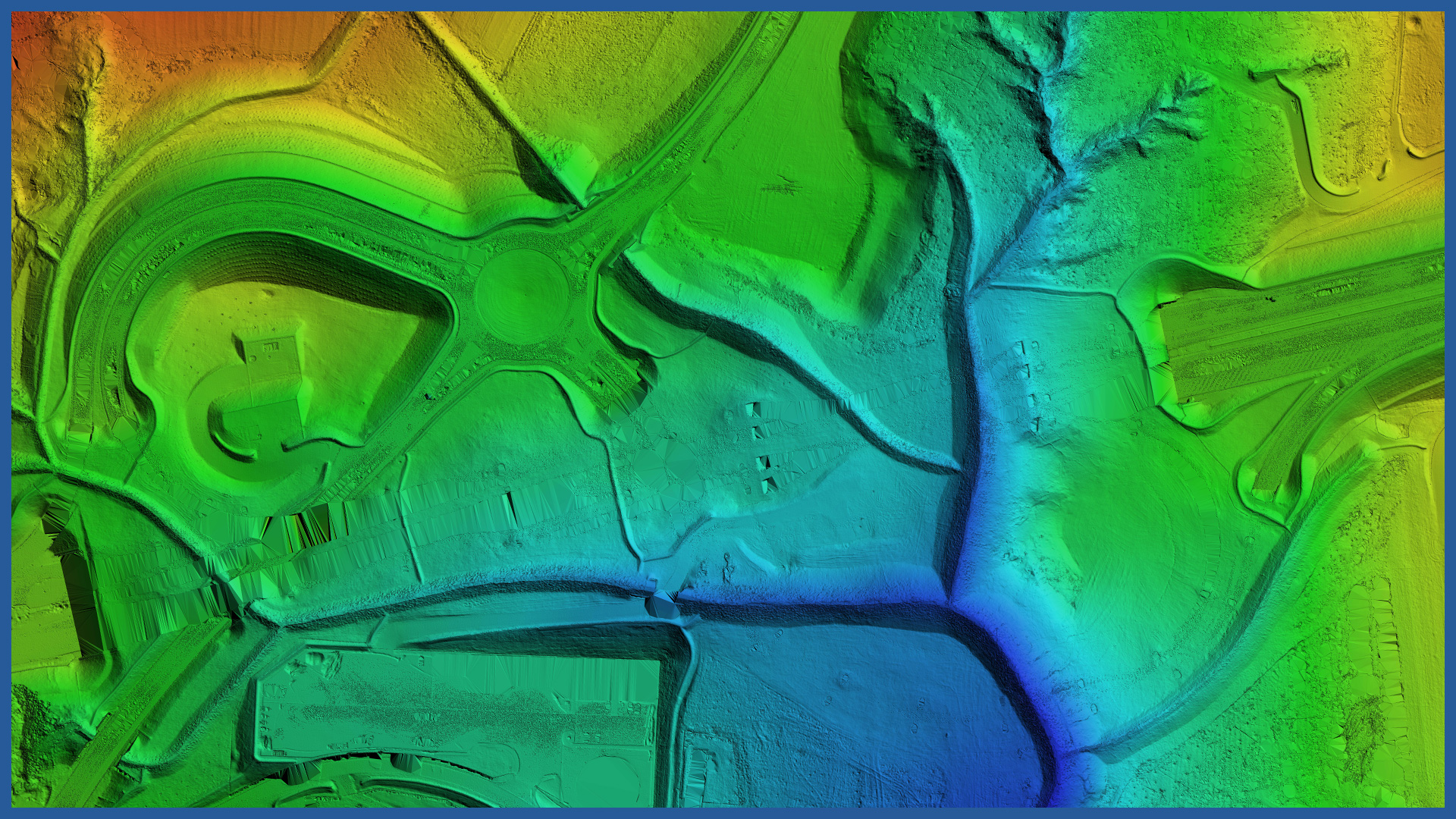
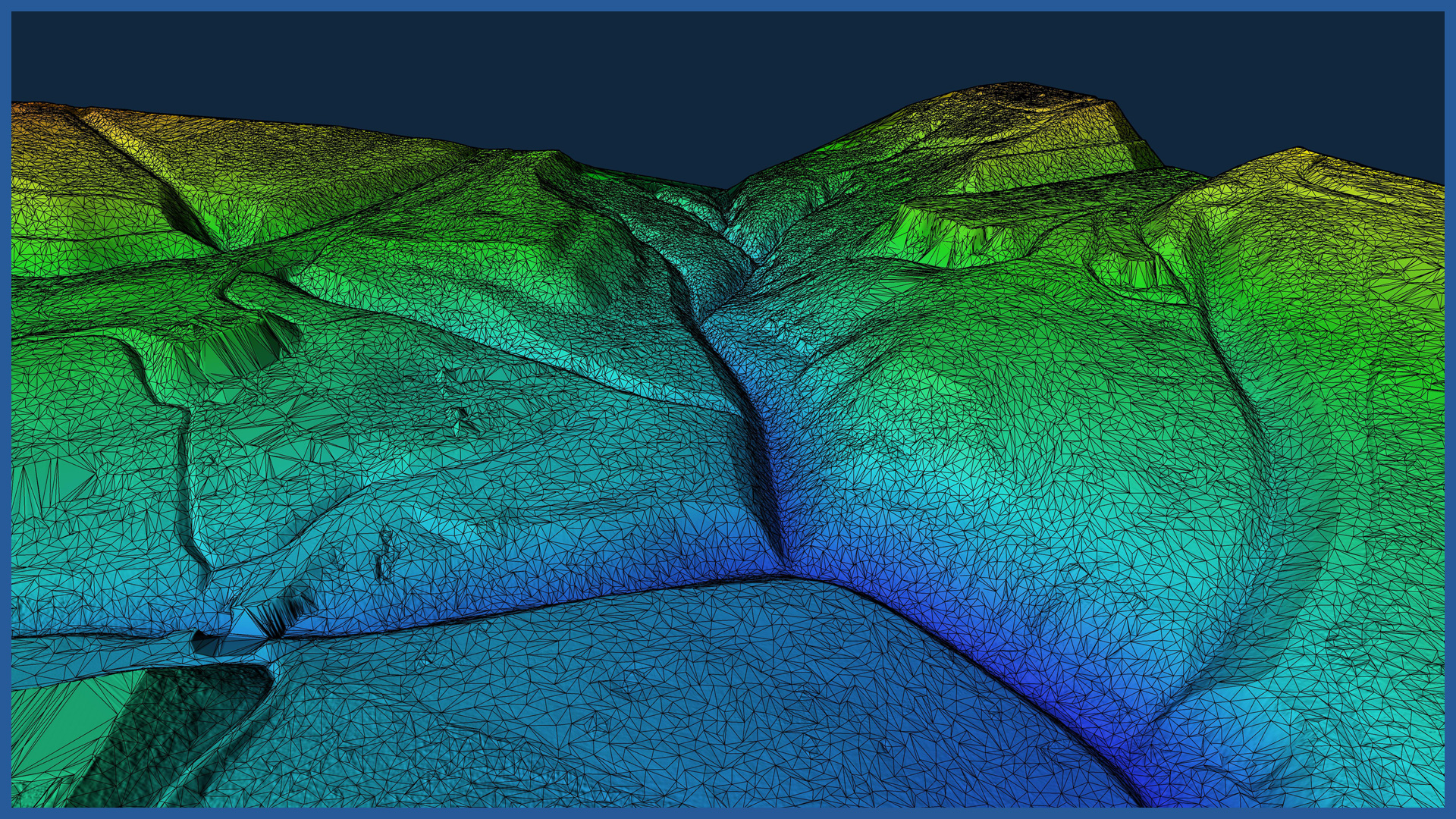
We make precise terrain models by using low-altitude aerial techniques. We achieve high accuracy (even in hard-to-reach areas) by projecting aerial mission parameters (altitude and airspeed, lateral and longitudinal coverage). The technology we use allows us to obtain the highest quality data.
A three-dimensional terrain model reflecting all irregular surfaces and shapes is obtained by combining airborne laser scanning and photogrammetry.
The digital terrain model is devoid of generalization.
The density of points from our laser scanning is several hundred points per square meter, and from photogrammetry several thousand points per square meter. We use software that analyzes the acquired data, extracts the points of the land surface and creates a detailed model on this basis. We measure and model terrain covered with forest areas and agricultural crops.
The short time of data acquisition and processing allows us to perform measurements periodically and carry out a whole series of comparative analyses, including the volume of changes.
We produce data automatically in the formats required by the client. We generate cross-sections and profiles, calculate volumes in relation to the projected terrain layers.
The data can be presented online as a model, as well as in traditional form:
– contour model
– triangulated irregular network (TIN)
– raster model
DSM / DTM CHARACTERISTICS:
| Data type | raster / vector |
| Data format | GeoTIFF / DWG / DXF / DTM |
| XY accuracy | <3 cm |
| Z accuracy | <3 cm |
| Coordinate System | adapted to project |
| Vertical Reference System | adapted to project |
/ OTHER FROM ROAD INFRASTRUCTURE
– periodic/cyclic measurements for groundworks control
– creating cross section and comparing with project


