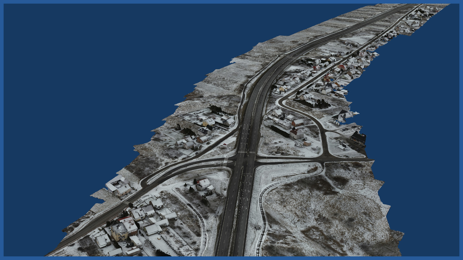
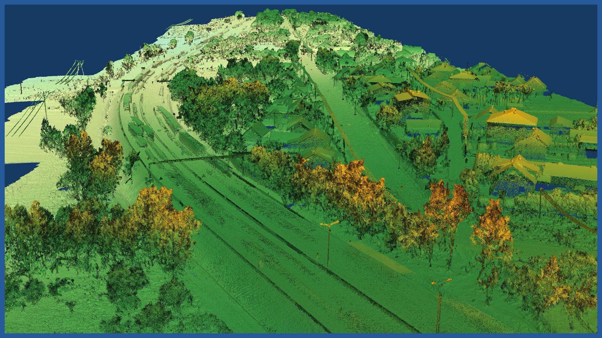
A detailed measurement of the “zero state” is the basis for the correct start of the investment process. Using low-altitude laser scanning supplemented with photogrammetric data, we make documentation characterized by high detail (several hundred points per 1 m2).
Laser scanning allows us to measure the elevation of the terrain even in places that are covered with forest areas, shrubbery or agricultural crops.
The result is not only a precise terrain model, but also documentation that allows us to capture the existing state before the beginning of the construction.
Our terrain model is devoid of generalization, while clearly reproducing the lines of continuity of the terrain.
A detailed and accurate inventory of the height of ground zero ensures correct (realistic) execution of the balance of earthworks and can be used at the stage of:
– design – as a base numerical terrain model
– cost estimation – for the purpose of offering the implementation of the investment
– taking over the construction site before the start of the investment, in order to secure the investor and the contractor
– comparison of the construction site with the design documentation (even before the cutting of greenery and demolition of buildings)
– periodic settlements of construction works
We acquire and process data for large areas in a short time.
POINT CLOUD CHARACTERISTICS:
| Point cloud density (LiDAR) | ~400 pts/m2 |
| Point cloud density (photogrammetry) | ~2500 pts/m2 |
| Accuracy | <3 cm |
| Data format | LAS / LAZ / E57 / TXT |
| Color palette | RGB / monochromatic / by elevation |
| Classification | ASPRS standard |
| Coordinate System | adapted to project |
DEM / DTM CHARACTERISTICS:
| Data type | raster / vecor |
| Data format | GeoTIFF / DWG / DXF / DTM |
| XY accuracy | <3 cm |
| Z accuracy | <3 cm |
| Coordinate System | adapted to project |
| Vertical Reference System | adapted to project |
ORTHOPHOTOMAP CHARACTERISTICS:
| Data format | GeoTIFF / JPEG / PDF |
| Ground Sampling Distance | od 1 cm |
| Accuracy | <3 GSD |
| Coordinate System | adapted to project |
| Color palette | 24 bit RGB |
| Compression | LZW / JPEG |
/ OTHER FROM ROAD INFRASRUCTURE
– periodic/cyclic measurements for groundworks control
– creating cross section and comparing with project


