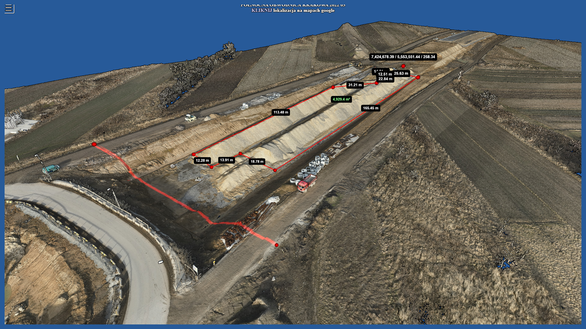
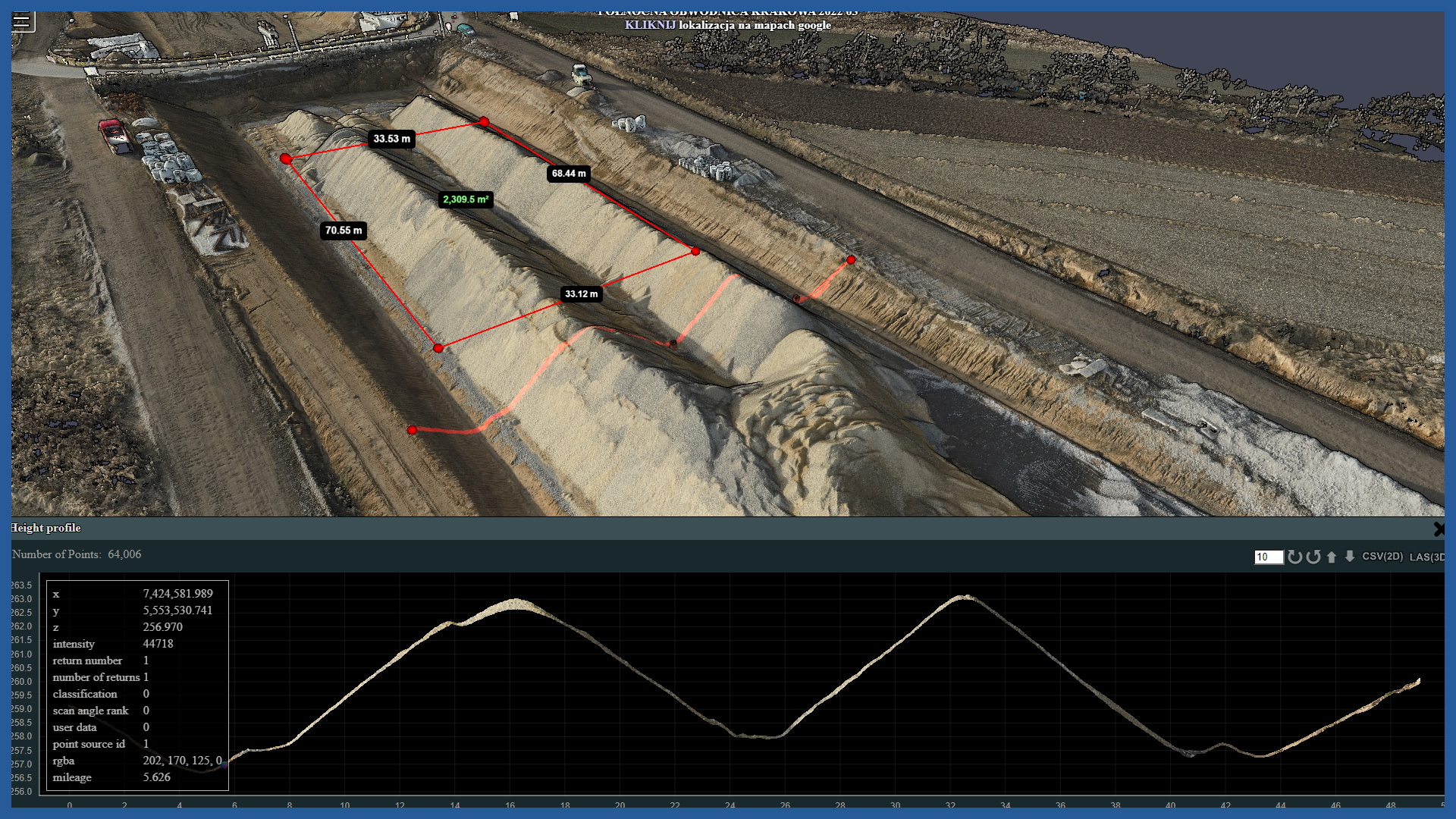
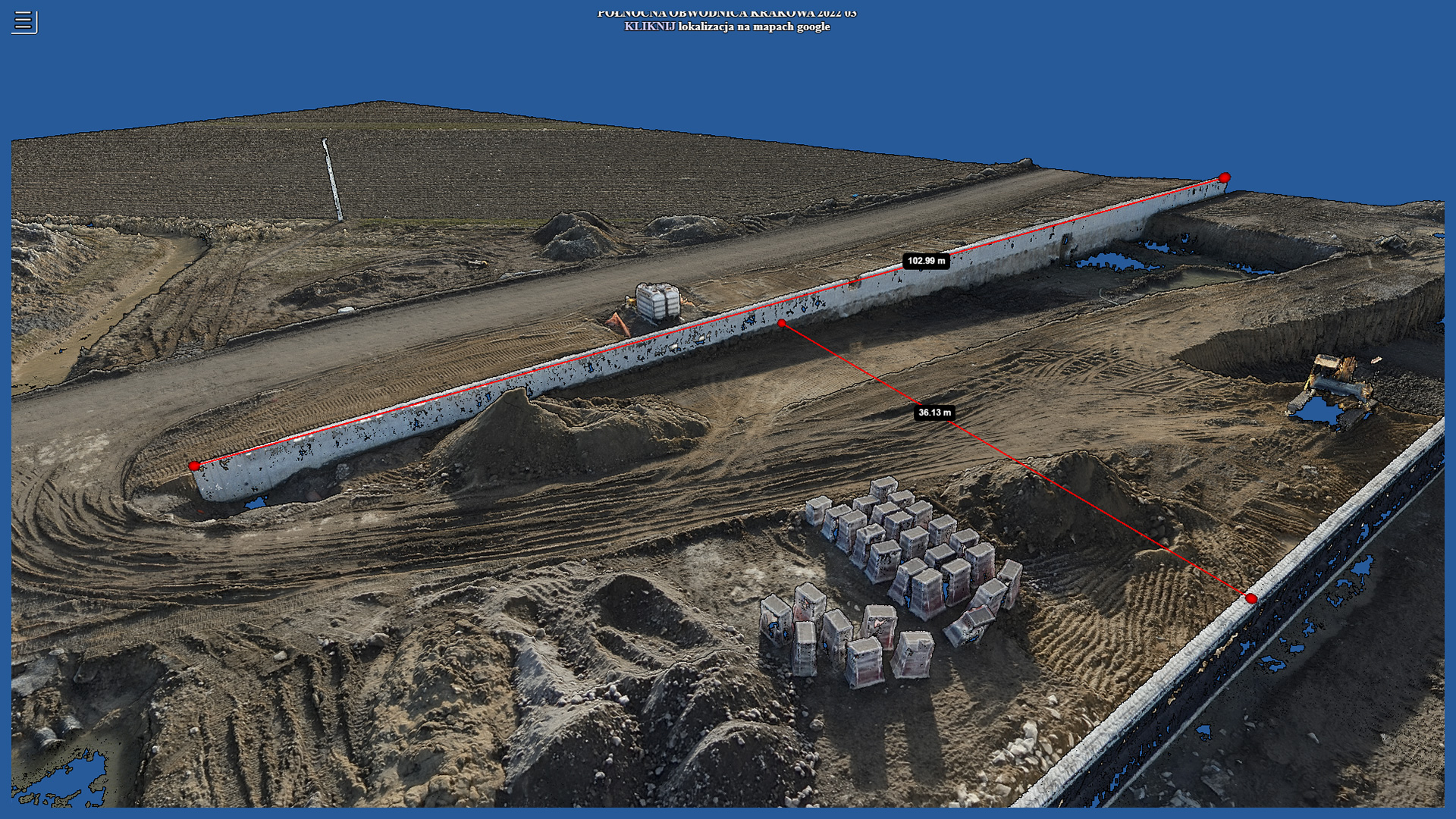
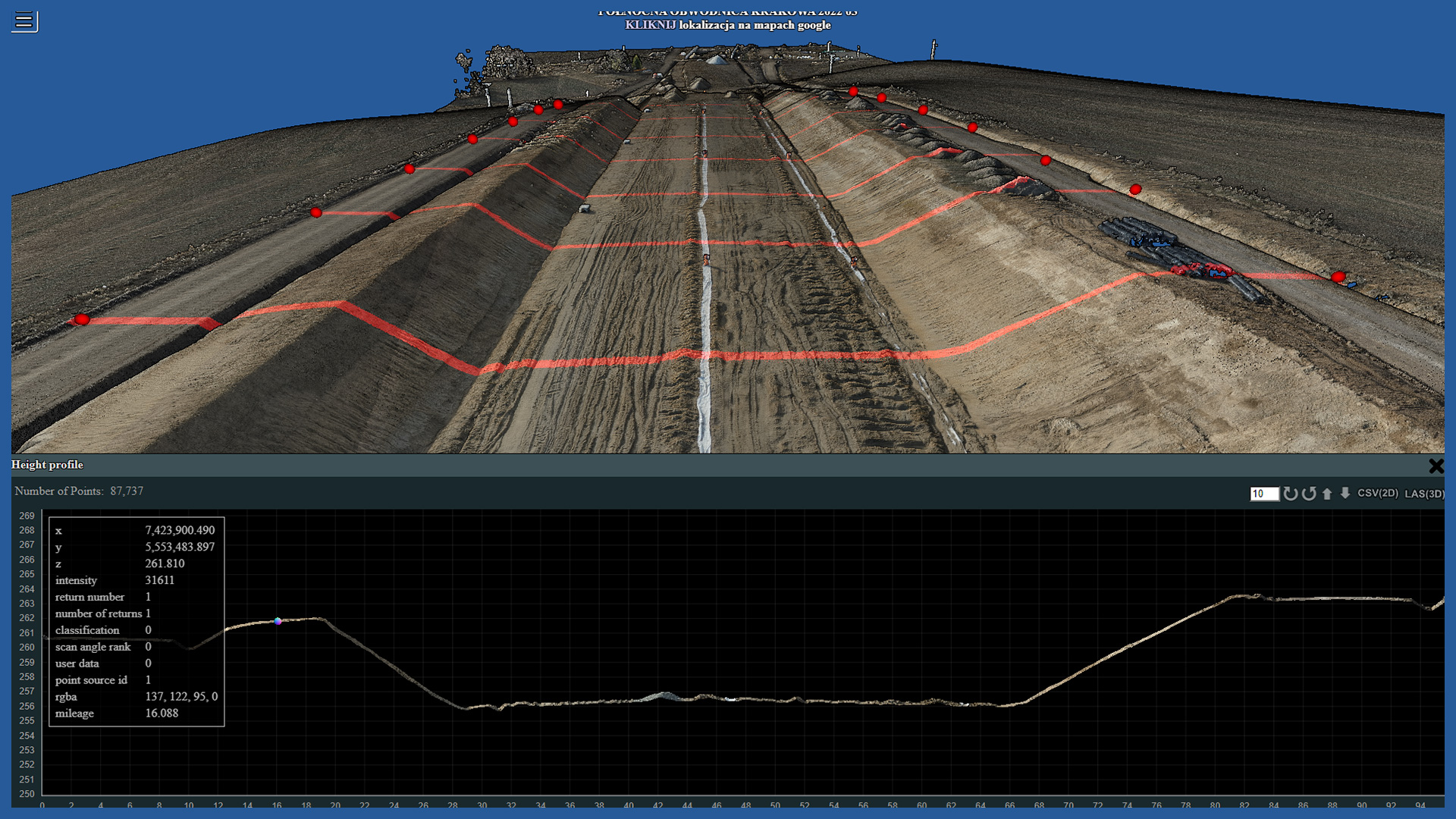
Maps and spatial models placed on a dedicated server as part of the service ordered from us can be provided to the user online, along with a set of basic measurement tools.
An authorized user without specialized software, at any time and from any place, can easily use the full range of collected data to conduct his own analyses.
A wide range of data can be shared on-line:
– high-resolution orthophotomap
– raster terrain model
– classified point cloud (classification by ASPRS standard)
– photogrammetric point clouds
– contour maps
– digital terrain model as TIN
– any designed vector layer
– vector cadaster layers
– openstreetmap.
Using basic analysis tools, it is possible to:
– measure distance
– measure area
– measure volume
– measure elevation
– verify XY coordinates
– compare copleted works with the project
Data collected periodically can be collected, archived and made available online from each stage of the investment process.
/ OTHER FROM ROAD INFRASTRUCTURE
– periodic/cyclic measurements for groundworks control
– creating cross section and comparing with project


