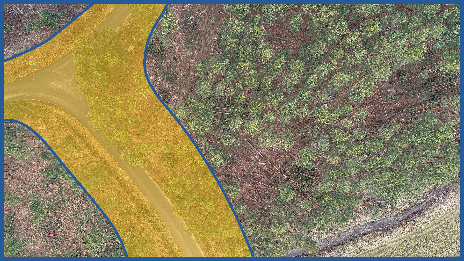
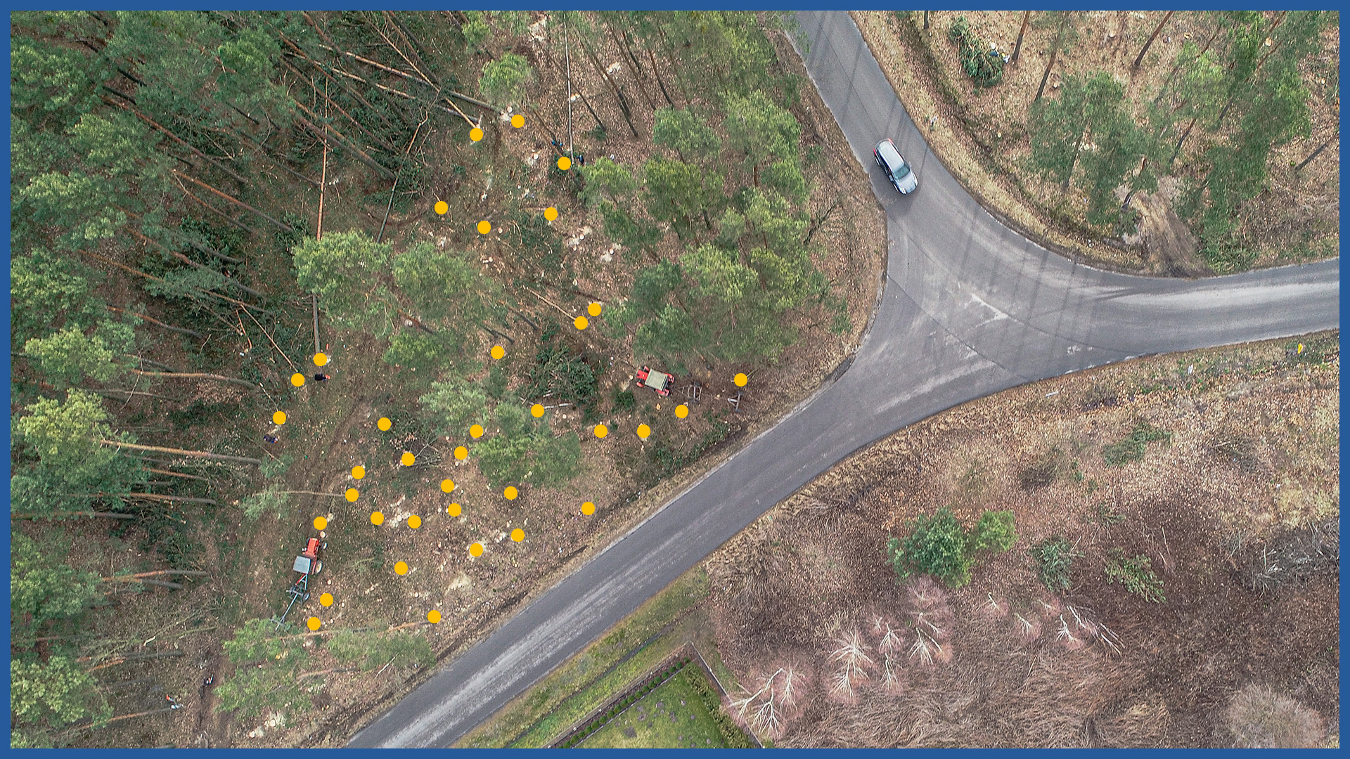
Orthophotomaps made by us allow you to prepare and supervise the process of tree felling in the context of ongoing investments, and then accurately document and account for the work performed.
Combining the raster data with the project makes it possible to plan the method of execution even before the beginning of construction work and improves the estimation of the workload. This is especially important in areas difficult to get to.
Thanks to georeferencing, we can present the data against the background of the project documentation and the real estate cadastre and obtain accurate information about the location of trees within individual parcels.
Taking an aerial survey during the course of the work being carried out makes it possible to quickly determine the progress of the work.
The orthophotomap, once completed, is a document on the basis of which the necessary analysis can be performed, including:
– counting the number of trunks of felled trees with their diameters
– measurement of felled area
– comparison of the inventory with the project in terms of quantity and area, presentation of differences, billing for additional work
– presentation of exceedances beyond the investment range.
ORTHOPHOTOMAP CHARACTERISTICS:
| Data format | GeoTIFF / JPEG / PDF |
| Ground Sampling Distance | od 1 cm |
| Accuracy | <3 GSD |
| Coordinate System | adapted to project |
| Color palette | 24 bit RGB |
| Compression | LZW / JPEG |
/ OTHER FROM ROAD INFRASTRUCTURE
– periodic/cyclic measurements for groundworks control
– creating cross section and comparing with project


