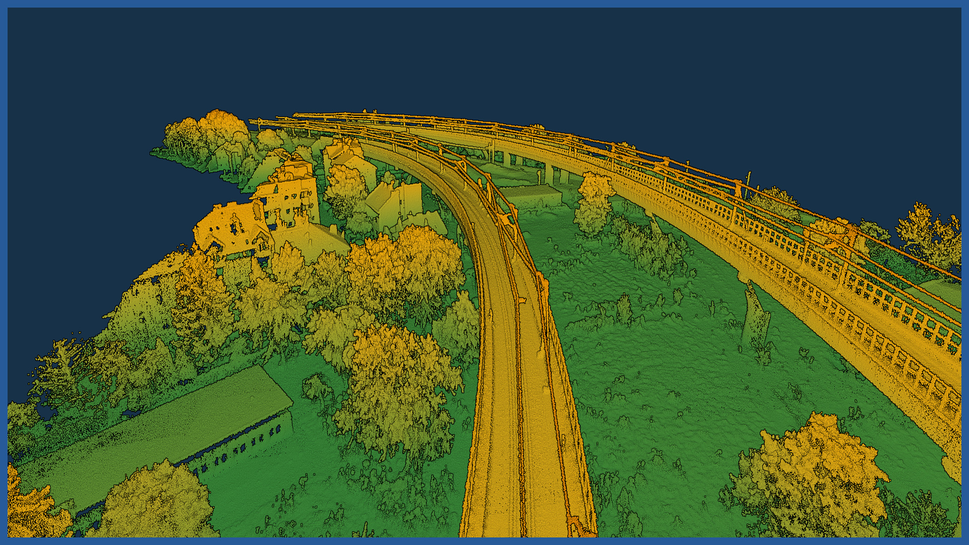
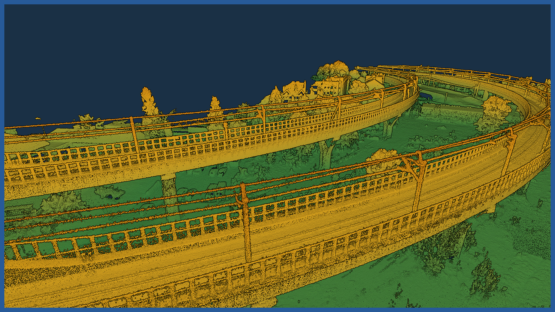
Inventories of the traction network is performed with airborne laser scanning. The speed of this method allows us to increase the scope of the survey several times over the classical geodetic measurements and avoid generalization, while maintaining comparable accuracy.
Measurements performed using aerial techniques do not require traffic restrictions on railroad routes and minimize risks affecting the safety of those performing the inventory.
Using specialized software, we subject point clouds to classification and the final result is a study in vector form.
The advantage of the study is automation and speed.
POINT CLOUD CHARACTERISTICS:
| Point cloud density (LiDAR) | ~400 pts/m2 |
| Point cloud density (photogrammetry) | ~2500 pts/m2 |
| Accuracy | <3 cm |
| Data format | LAS / LAZ / E57 / TXT |
| Color palette | RGB / monochromatic / by elevation |
| Classification | ASPRS standard |
| Coordinate System | adapted to project |
/ OTHER FROM RAILWAY INFRASTRUCTURE
- high-resolution railway orthophotomaps
- dense point clouds
- digital terrain models
- zero measurement
- high-resolution photo/video documentation to assess the condition of the railroad:
– rails and railroad sleepers
– traction network and surrounding infrastructure
– bridges, viaducts, flyovers, engineering structures


