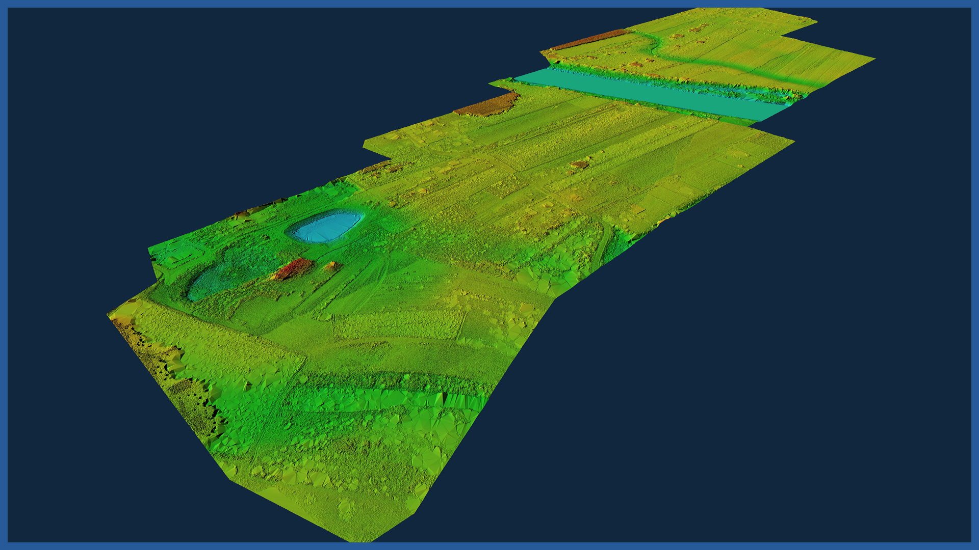
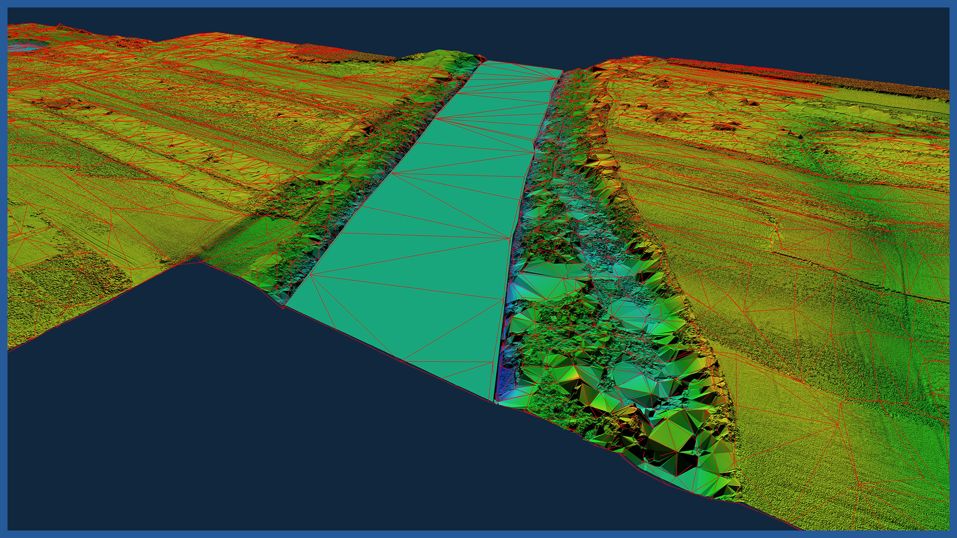
The dense point cloud we acquire can quickly create a detailed terrain model, even in hard-to-reach areas, as well as forested and covered with crops.
The density of the point cloud from laser scanning is several hundred points per square meter, so that the numerical terrain model is devoid of generalization and faithfully reflects the terrain.
Thanks to the technology we use and specialized software, the measurement and development is done in a short time.
The density of the acquired point cloud from laser scanning is several hundred points per square meter, so that the numerical terrain model is devoid of generalization and faithfully reflects all irregular surfaces and land shapes.
The use of this technology allows the acquisition and processing of data in a very short time.
Data can be made available online or provided in editable form in the form of:
– contour model
– triangulated irregular network (TIN)
– raster model.
The software used allows automatic generation of cross-sections and profiles.
DSM / DTM CHARACTERISTICS:
| Data type | raster / vector |
| Data format | GeoTIFF / DWG / DXF / DTM |
| XY accuracy | <3 cm |
| Z accuracy | <3 cm |
| Coordinate System | adapted to project |
| Vertical Reference System | adapted to project |
/ OTHER FROM GAS NETWORKS
Select an area of interest:


