We prepare dedicated web services for managers of mines, landfills, pits on which data from cyclically performed measurements of objects are placed.
The information developed and published on the site, thanks to the tools provided, gives an easy and quick opportunity to view the changes taking place within the excavation.
The site, in one place, collects data from all the days on which we performed aerial measurements. We make the database available to authorized users, who do not need any specialized software to use it.
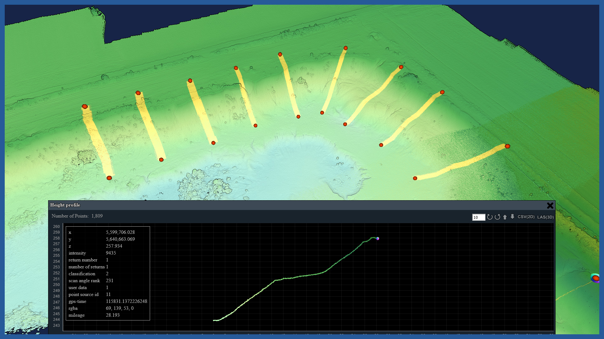
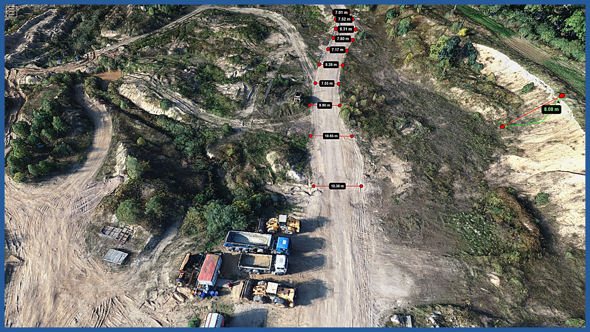
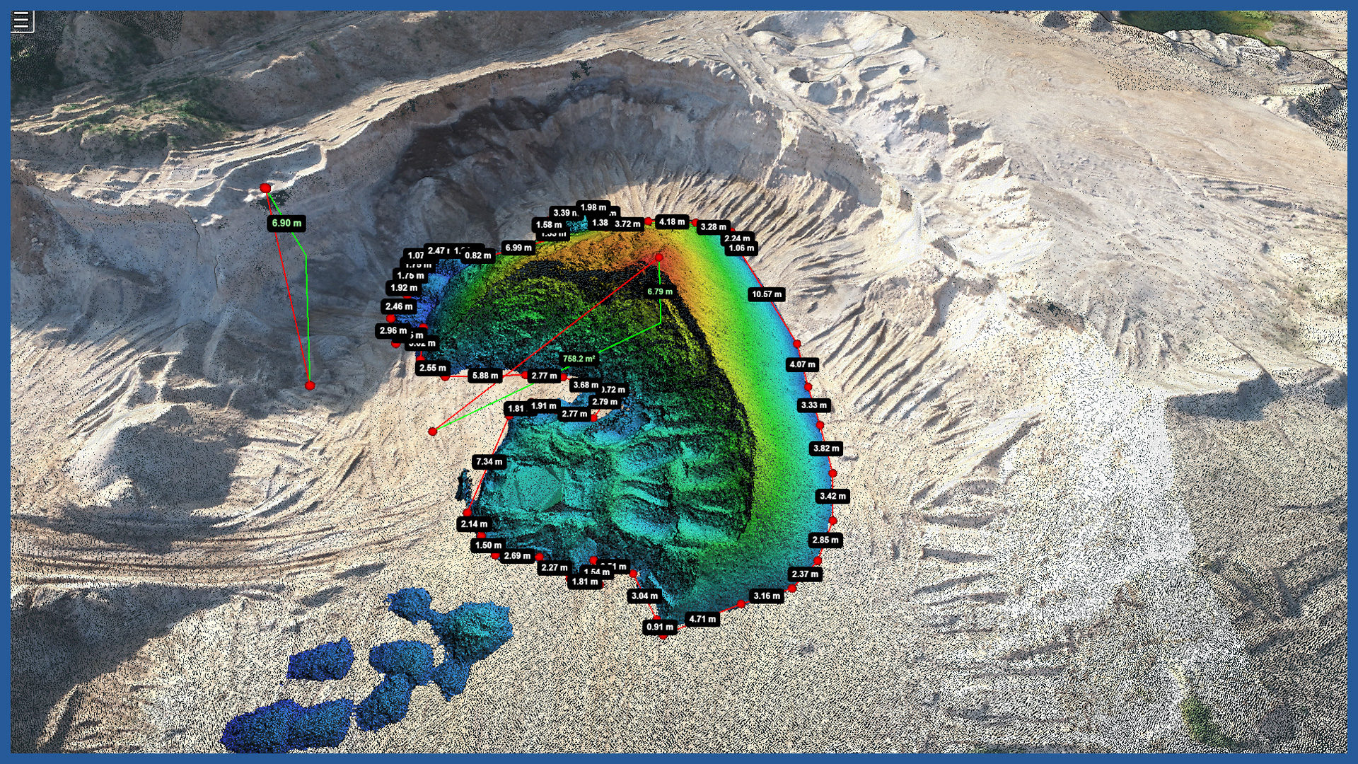
The service provides basic measurement tools such as distance, area and volume measurements. It is also possible to quickly generate cross sections.
The service, with its great capabilities, is transparent and extremely easy to use.
/ OTHER FROM MINES, STOCKPILES, QUARRIES
- stockpile measurement
- cyclic measurements of changes in excavation volume
- high-resolution orthophotomaps
- point clouds and terrain models
- inspections and analysis
– identification of hazardous locations
– cross sections
– watershed analysis
– transport routes condition


