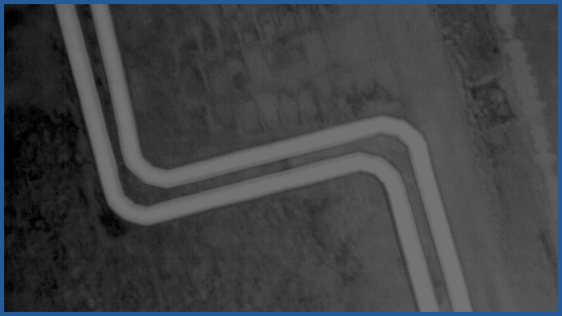
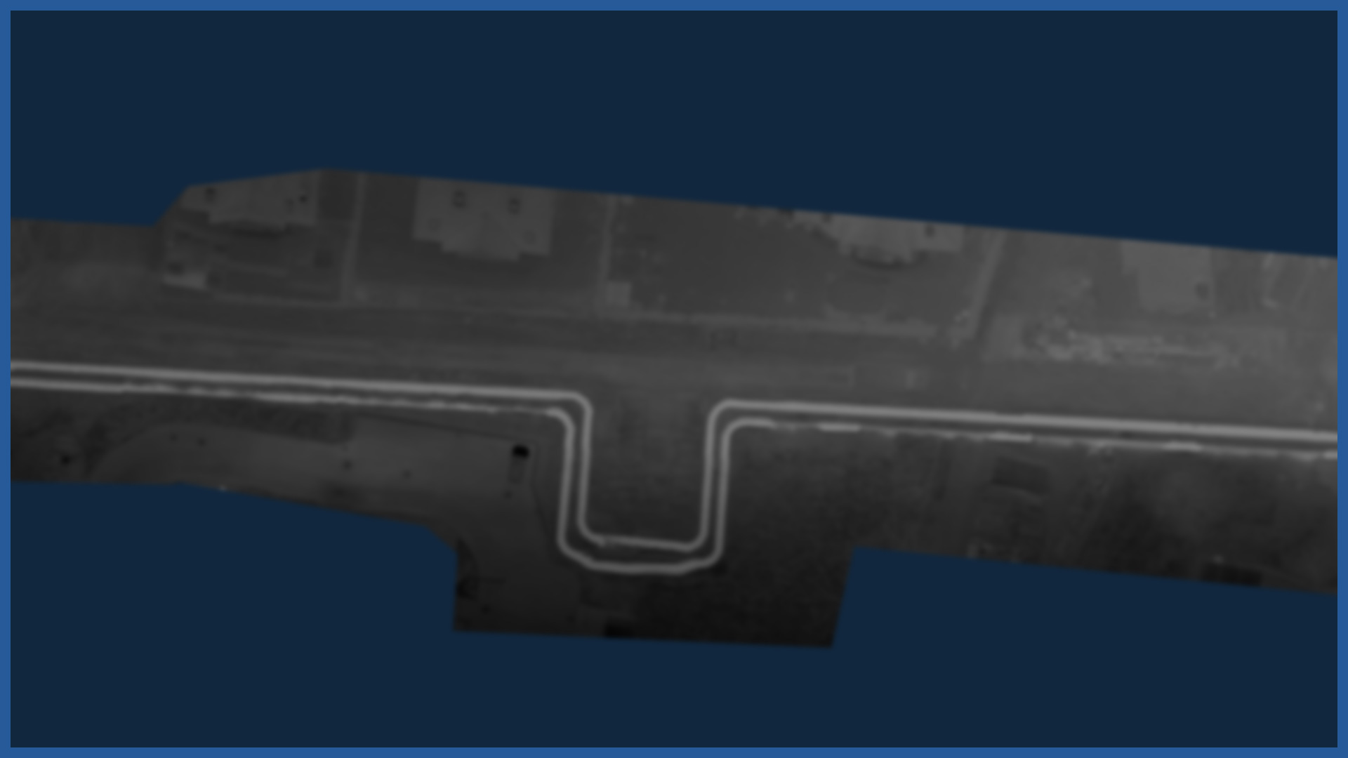
Using an aircraft equipped with a specialized camera, we use aerial thermal imaging to diagnose district heating infrastructure.
The measurements we visualize are georeferenced, so they can be superimposed on city cadastre data. This allows us to obtain information about the location of the network in relation to the boundaries of parcels of land, as well as relations with other land development networks disclosed in GIS databases by other network managers.
Our study is cartometric and allows us to build maps of the transmission belt of the network or specific urban areas.
The data are the basis for assessing the technical condition of the district heating infrastructure, location of temperature anomalies.
Derivatives of the thermal orthophotos made are thermograms that allow analysis of heat losses in residential buildings or public facilities adjacent to the network.
/ OTHER FROM HEAT NETWORKS
Airborne thermal imaging:
- qualitative analysis of the network condition
- location of the actual course of underground heat networks
Support services for network design/ supervision/ maintenance:


