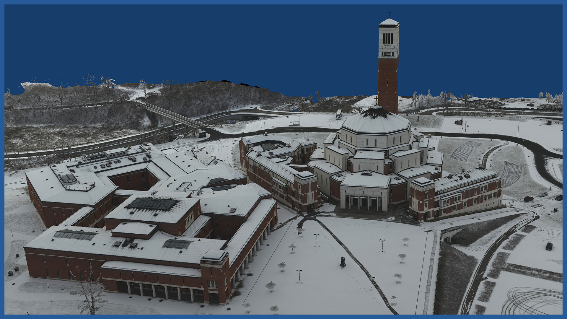
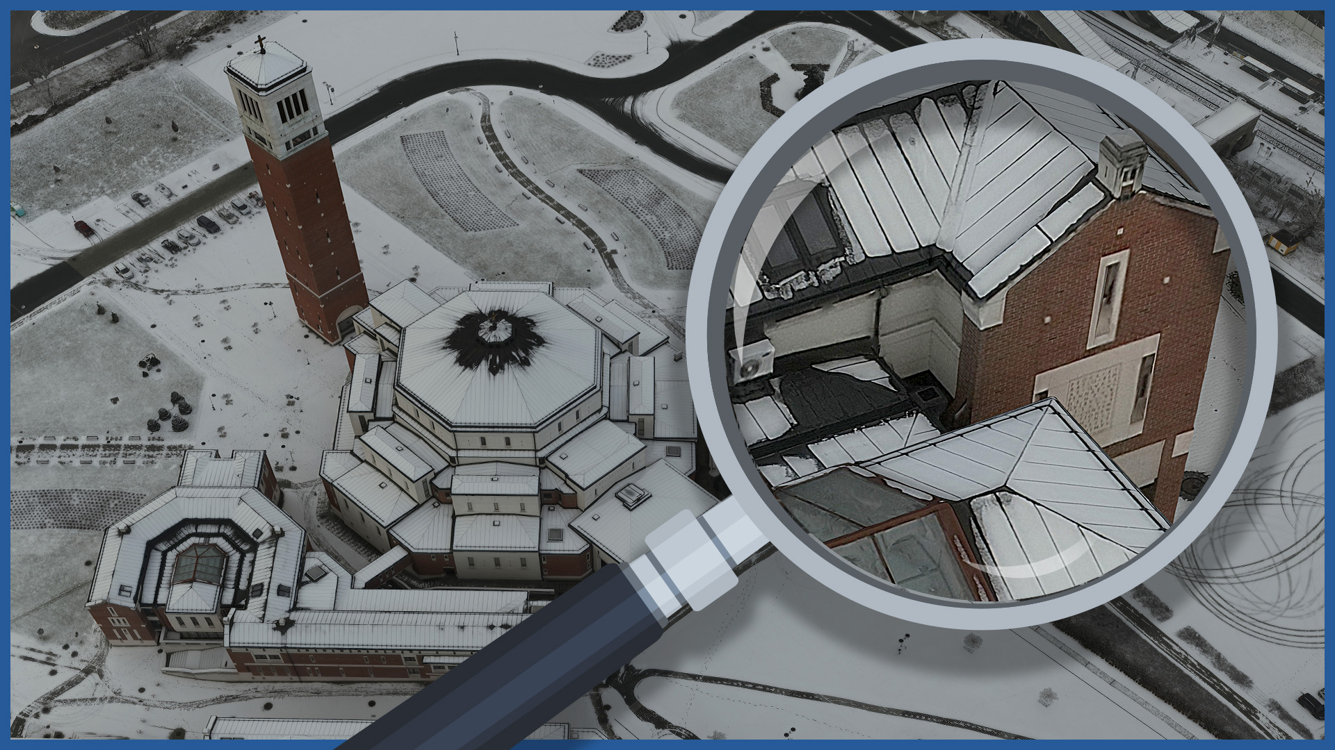
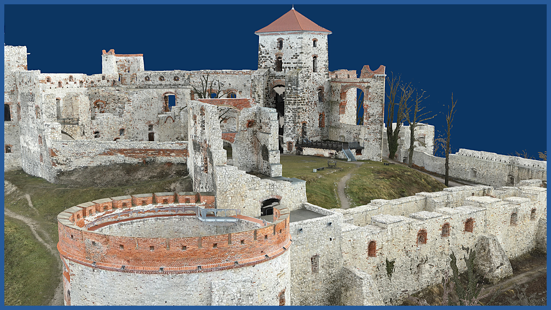
With low-altitude photogrammetry, we create photorealistic 3D models for the project site and surrounding area. The models, like the point cloud and orthophotomap, have georeferenced data to embed them in a coordinate system.
They are characterized by high accuracy and detail. Thanks to the high-end camera used, the models have textures of very high resolution, on which even the smallest details are visible.
Photorealistic 3D model applications:
– visualization of the designed object in the real environment
– presentation of concepts and designs to the investor
– inventory of existing buildings
– design of building renovations.
The virtual platform on which we can place the model allows users without specialized software to use the models. With periodic measurements to be visualized the construction process and its various stages.
3D MODEL CHARACTERISTICS:
| Data format | 3ds / dae / obj / tls |
| Coordinate System | adapted to project |
| Vertical Reference System | adapted to project |
| Color palette | RGB / monochromatic / by elevation |


