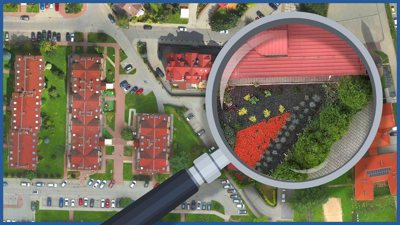
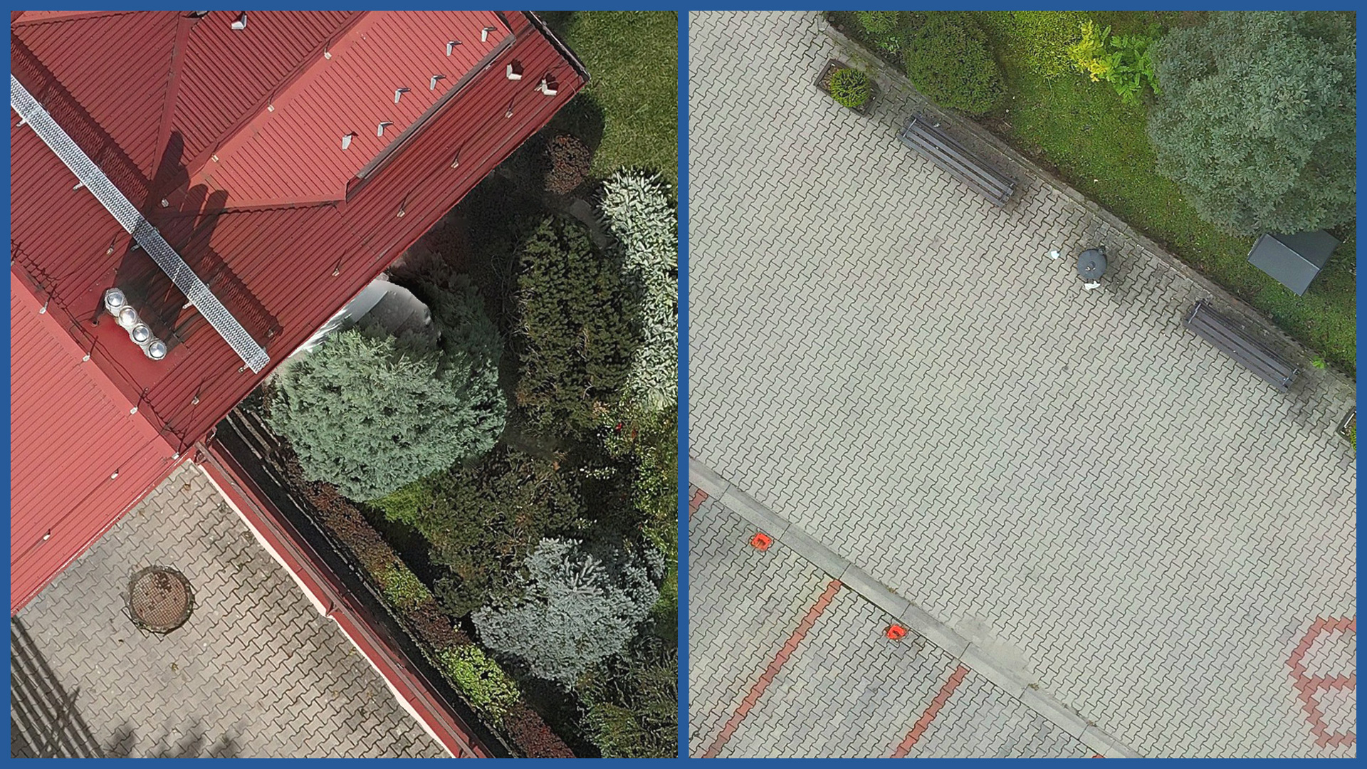
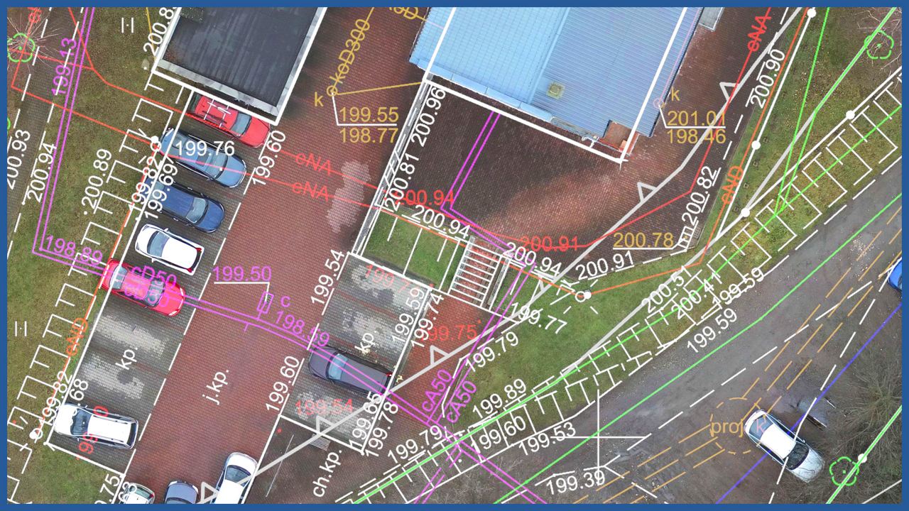
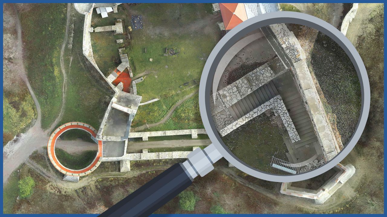
With the help of aerial techniques, we make orthophotomaps, which are characterized by high spatial resolution ( 1-3 centimeters). They accurately and precisely represent the terrain, have georeferences and cooperate with data from the cadastre of real estate (basic maps, cadastral maps, spatial plans, borders of motions and permits).
Due to the accurate representation of the area, they support designing and allow to blend the project into the surroundings.
Orthophotos are made using RTN technology and using ground control and check points. A high-resolution camera and a relatively low flight altitude allow us to produce orthophotos with a pixel size of 1 cm. This gives us the accuracy of classical geodetic measurements while eliminating their disadvantages (generalization, use of symbols). The advantage is also the speed of data acquisition and processing.
They can be used to create:
– architectural and urban planning concepts
– analyses of access to public roads
– analyses of biologically active areas
– spatial relations with the surroundings
– land development project
– photographic analysis
– determination of impact area of the investment on neighboring properties
– obtaining technical connection conditions.
ORTHOPHOTOMAP CHARACTERISTICS:
| Data format | GeoTIFF / JPEG / PDF |
| Ground Sampling Distance | od 1 cm |
| Accuracy | <3 GSD |
| Coordinate System | adapted to project |
| Color palette | 24 bit RGB |
| Compression | LZW / JPEG |


