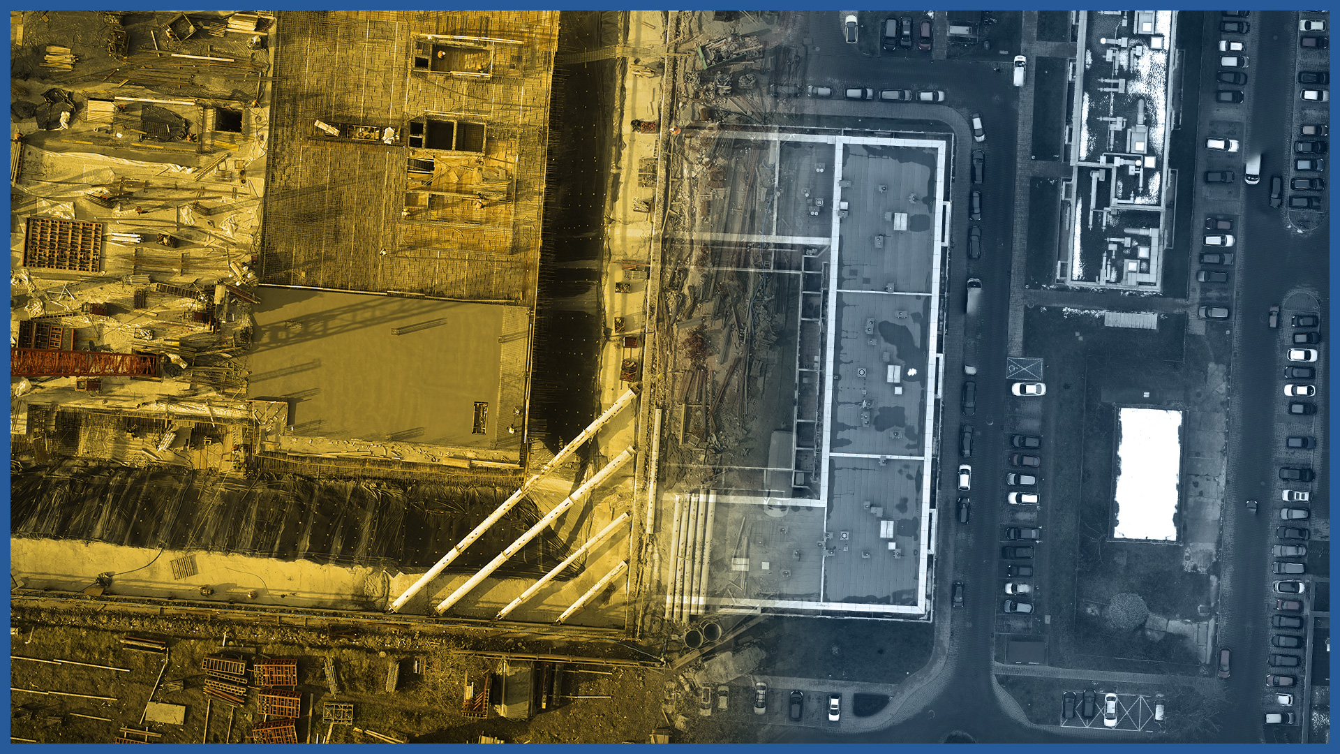
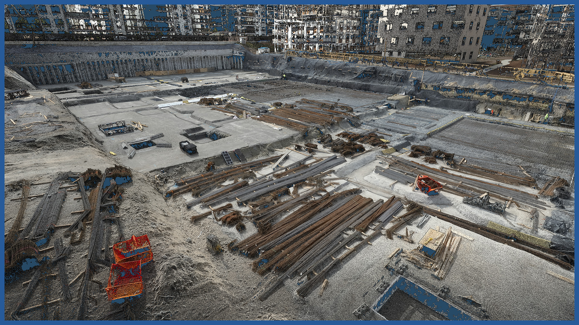
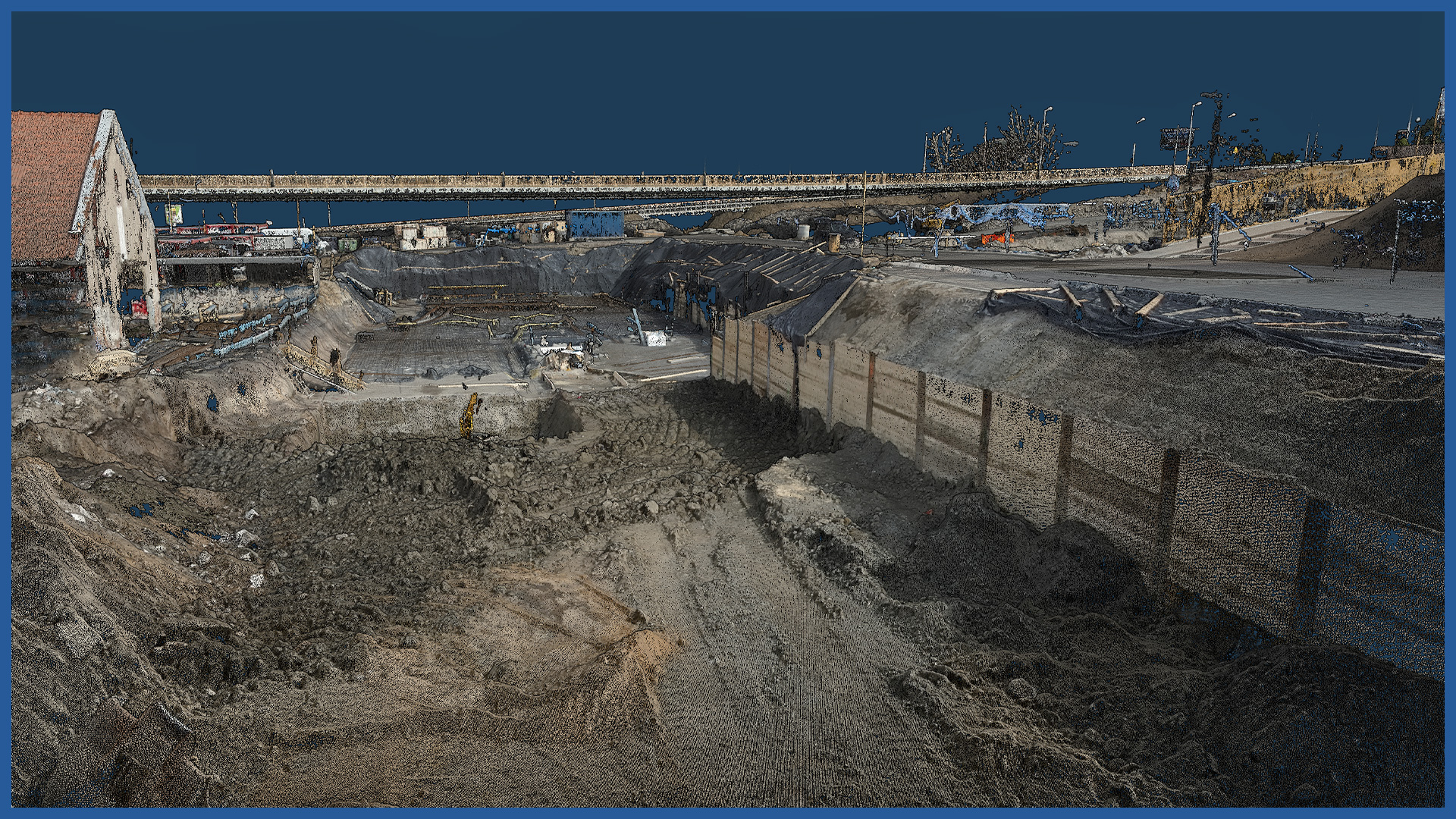
We use high-resolution aerial cameras and dense laser scanning to record detailed images of the project site. We perform the measurement and development in a short period of time, so it is possible to create documentation for a given day or even an hour.
The documentation can cover the entire project site, and its detail ensures that details stand out.
It can serve as an evidentiary security in possible disputes.
We can put a colorful, readable model on a virtual platform with the establishment of online access for users. The service is equipped with tools that allow users without specialized software to perform analysis.
Our service can become a platform for communication between participants in the investment process. Periodic measurements can be used to document the changes taking place or become advertising material.
ORTHOPHOTOMAP CHARACTERISTICS:
| Data format | GeoTIFF / JPEG / PDF |
| Ground Sampling Distance | od 1 cm |
| Accuracy | <3 GSD |
| Coordinate System | adapted to project |
| Color palette | 24 bit RGB |
| Compression | LZW / JPEG |
POINT CLOUD CHARACTERISTICS:
| Point cloud density (LiDAR) | ~400 pts/m2 |
| Point cloud density (photogrammetry) | ~2500 pts/m2 |
| Accuracy | <3 cm |
| Data format | LAS / LAZ / E57 / TXT |
| Color palette | RGB / monochromatic / by elevation |
| Classification | ASPRS standard |
| Coordinate System | adapted to project |
/ OTHER FROM REAL ESTATE: INVESTMENT, MANAGEMENT, SUPERVISION
- ortophotomaps: a source of spatial information
- measurement and documentation of the condition of the site before the investment
- terrain models
- vegetation map
- documentation of the current status of the investment as of a specific date
- control measurements, inventory, inspections
- aerial thermal imaging of roofs and building facades
- facade orthophotos
- photorealistic 3D models
- virtual tours
- web platform for communication with participants in the investment process with residents
- photo / video documentation


