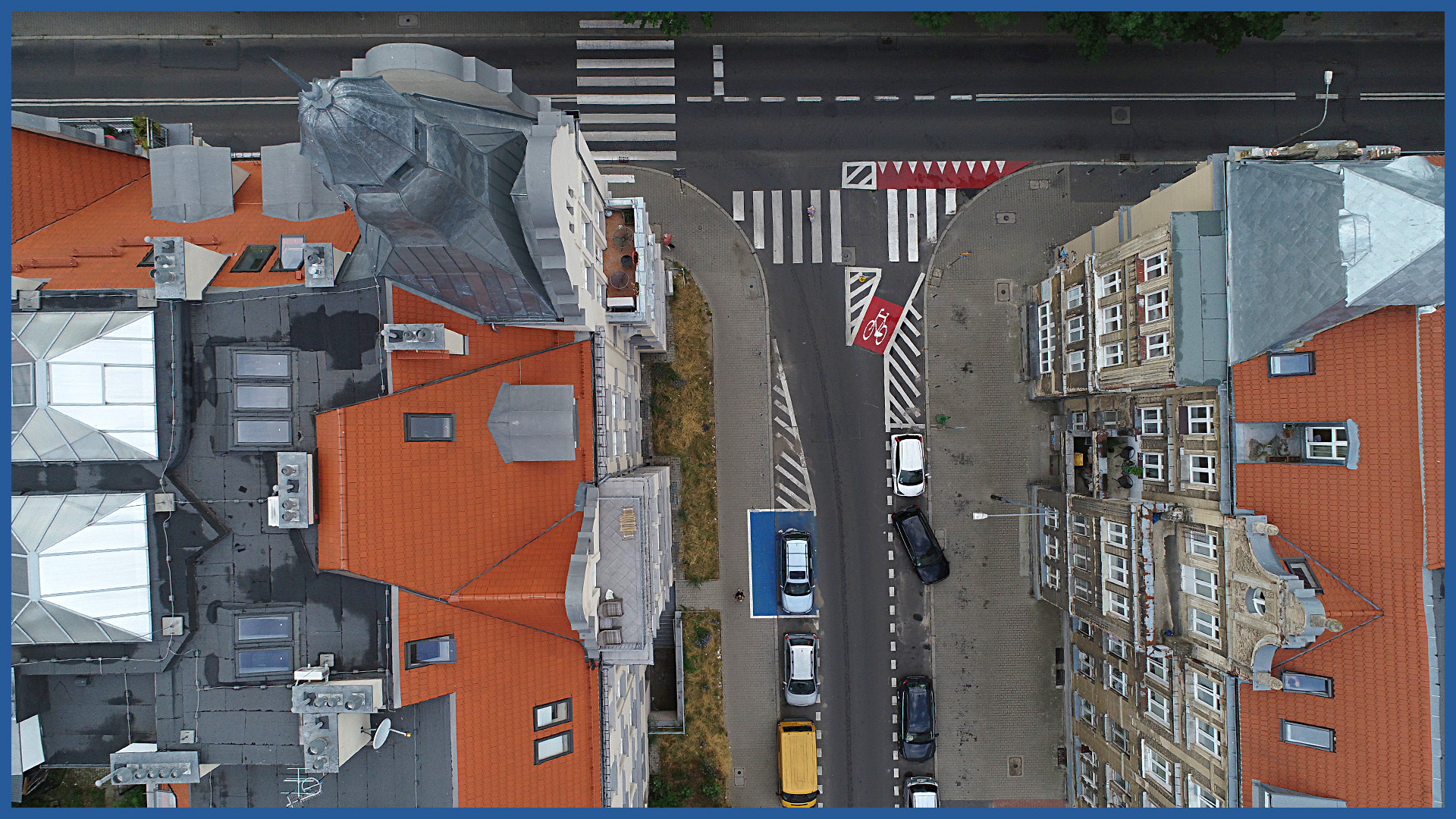
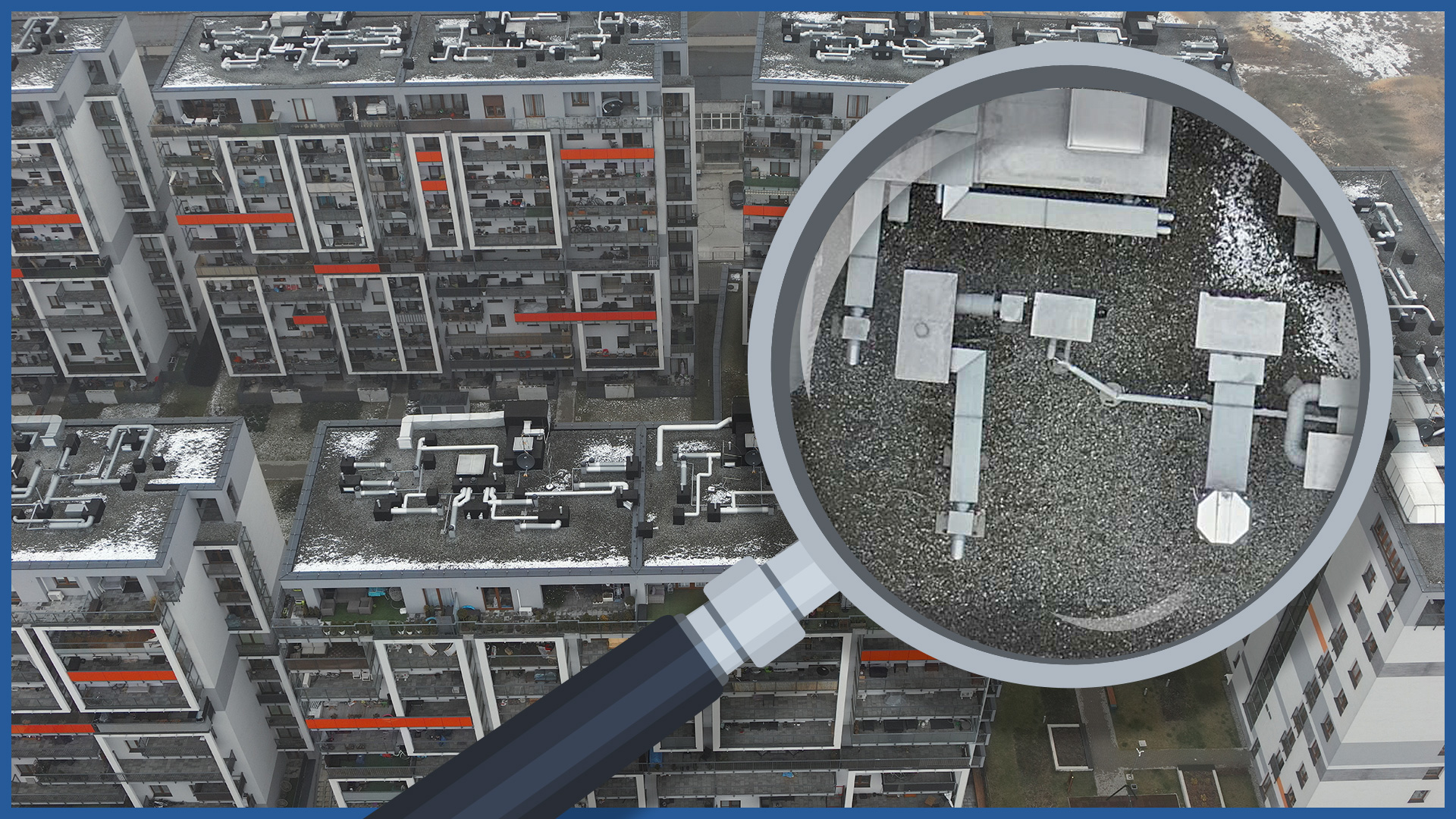
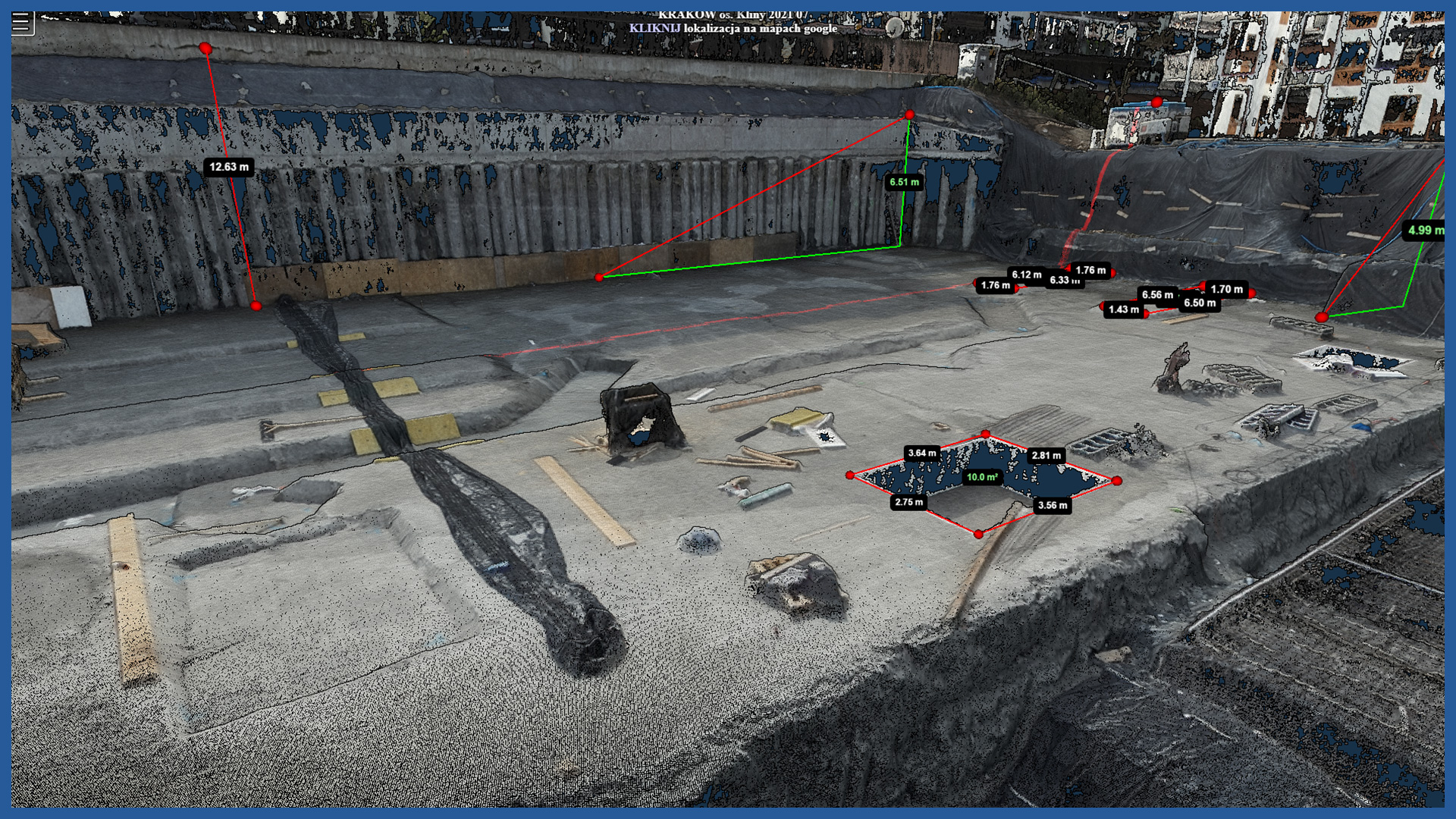
Our drones equipped with high-end RGB cameras and thermal imaging cameras allow us to carry out a wide range of measurements, inventories and inspections.
The technology of our measurements (inspections) allows us to do the work quickly and increase the safety of conducting the measurement.
The technology we use works especially well for measuring hard-to-reach places, tall buildings, roofs. By taking high-resolution images, we can detect damage, defects or inventory the condition of objects, equipment, building elements.
Analysis of the collected data can be performed in intimate conditions, making it much easier and more detailed. Performing inspections in a cyclic manner allows us to capture the progress of degradation and predict its consequences early.
PRODUCT CHARACTERISTICS:
| product type | report/ photo library / video library |
| photo format | jpg / raw / pdf |
| video format | avi / mp4 / mov |
| data sharing | HDD / SSD / www / FTP |
| signature type | time + geolocation |
/ OTHER FROM REAL ESTATE: INVESTMENT, MANAGEMENT, SUPERVISION
- ortophotomaps: a source of spatial information
- measurement and documentation of the condition of the site before the investment
- terrain models
- vegetation map
- documentation of the current status of the investment as of a specific date
- control measurements, inventory, inspections
- aerial thermal imaging of roofs and building facades
- facade orthophotos
- photorealistic 3D models
- virtual tours
- web platform for communication with participants in the investment process with residents
- photo / video documentation


