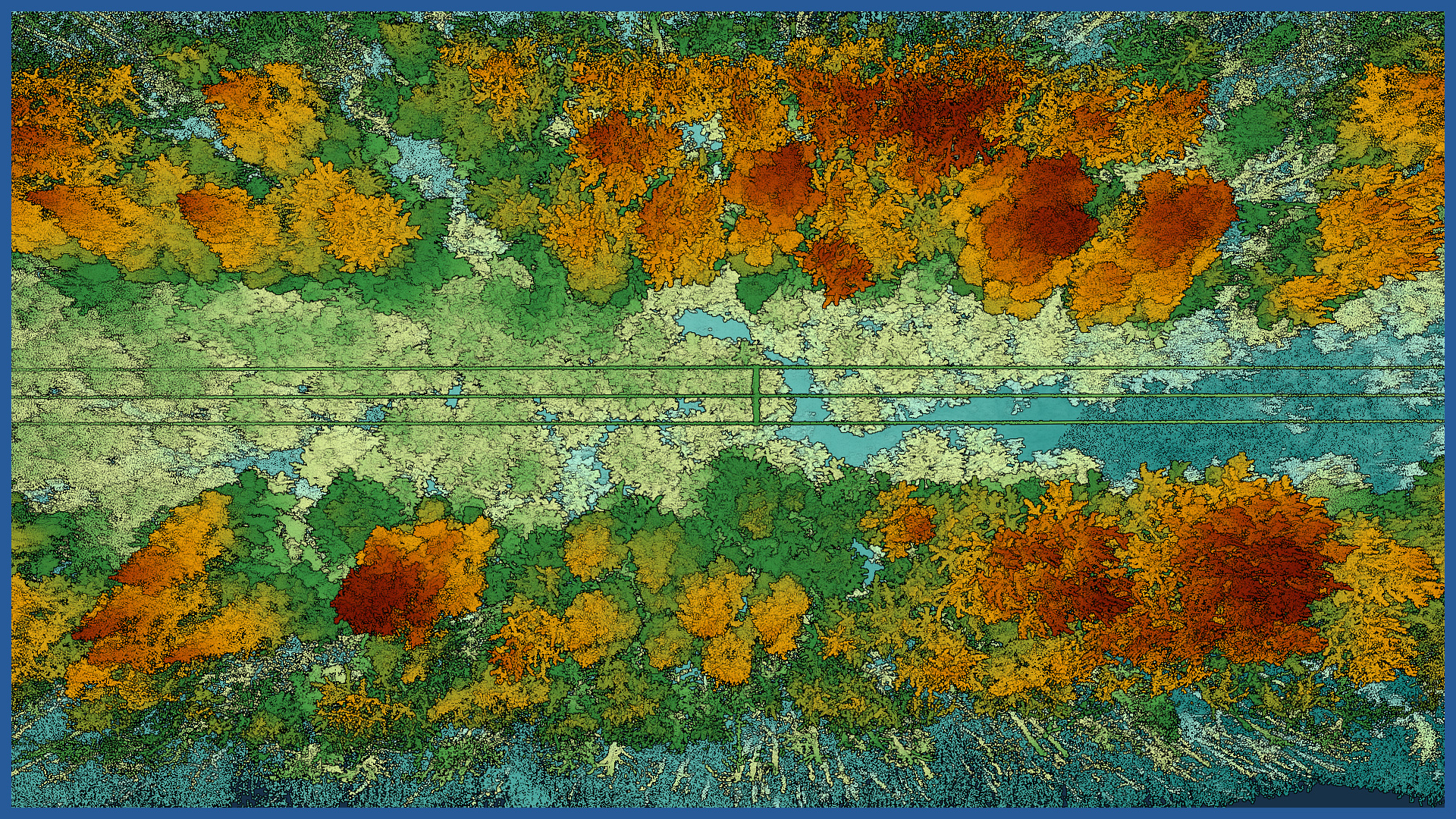
We acquire data in a fast and precise way within the power grids running along forest areas, including places that are difficult to access for traditional measurements. Using aerial laser scanning, we can also perform measurements at night and in low-light conditions.
Our surveys make it possible to detect collisions between trees and power lines, both at the stage of planning maintenance work and repairing faults.
Aerial techniques allow us to quickly reach the inspection site and take detailed measurements. The scanner used accurately records the condition of the network along with the terrain under and adjacent forests and individual trees.
The result is a spatial digital documentation, on the basis of which it is possible to perform an analysis of the existing condition, measure horizontal and vertical distances accurately, determine approach zones and plan work in advance.
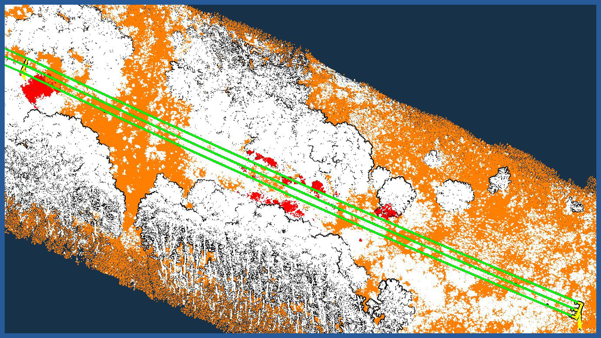
On the basis of the acquired data, it is possible to identify precisely the places where in the near future the crown of trees may dangerously approach the line and cause power outages.
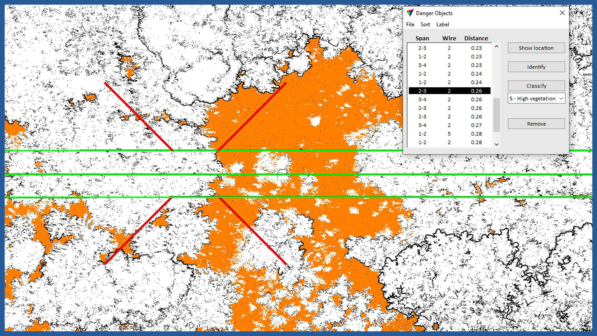
Objects located at a preset distance under the wires or a buffer of a preset radius around the wires can be identified. Potentially dangerous places can be rearranged with a specific color directly on the point cloud or in tabular form, with given coordinates in a preset coordinate system and the distance of the crowns of trees or other objects from the wire.
In case of emergency situations (windstorms, storms, damage), a quick inspection can be performed to speed up localization and assess the extent and nature of damage.
CHARAKTERYSTYKA CHMURY PUNKTÓW:
| Point cloud density (LiDAR) | ~400 pts/m2 |
| Point cloud density (photogrammetry) | ~2500 pts/m2 |
| Accuracy | <3 cm |
| Data format | LAS / LAZ / E57 / TXT |
| Color palette | RGB / monochromatic / by elevation |
| Classification | ASPRS standard |
| Coordinate System | adapted to project |
ORTHOPHOTO CHARACTERISTICS:
| Data format | GeoTIFF / JPEG / PDF |
| Ground Sampling Distance | od 1 cm |
| Accuracy | <3 GSD |
| Coordinate System | adapted to project |
| Color palette | 24 bit RGB |
| Compression | LZW / JPEG |
/ OTHER FROM ENERGETICS
Power lines:
– powerlines modeling
– calculating catenary parameters
– powerlines profiles
Electricity stations / traction substations:


