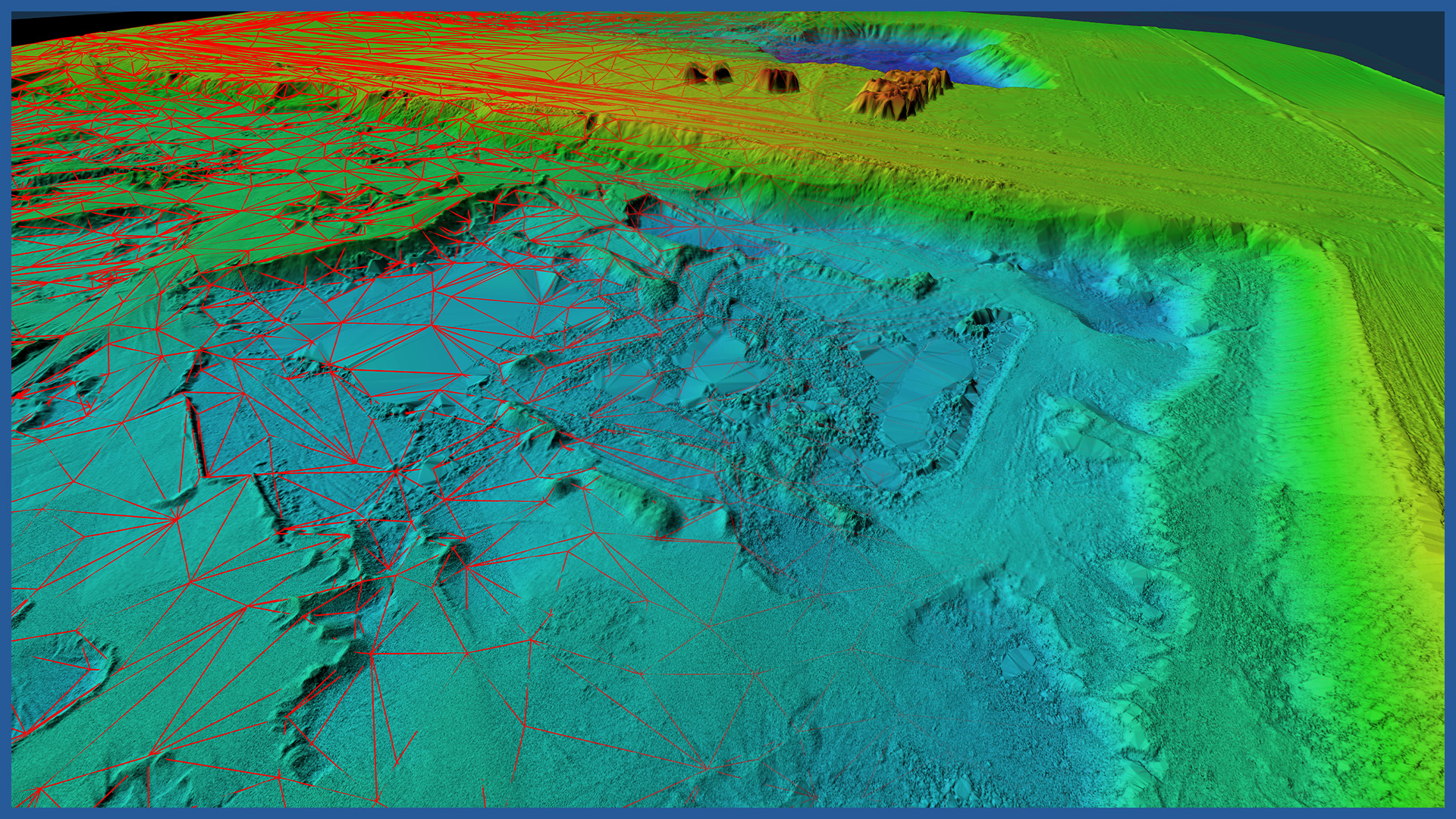
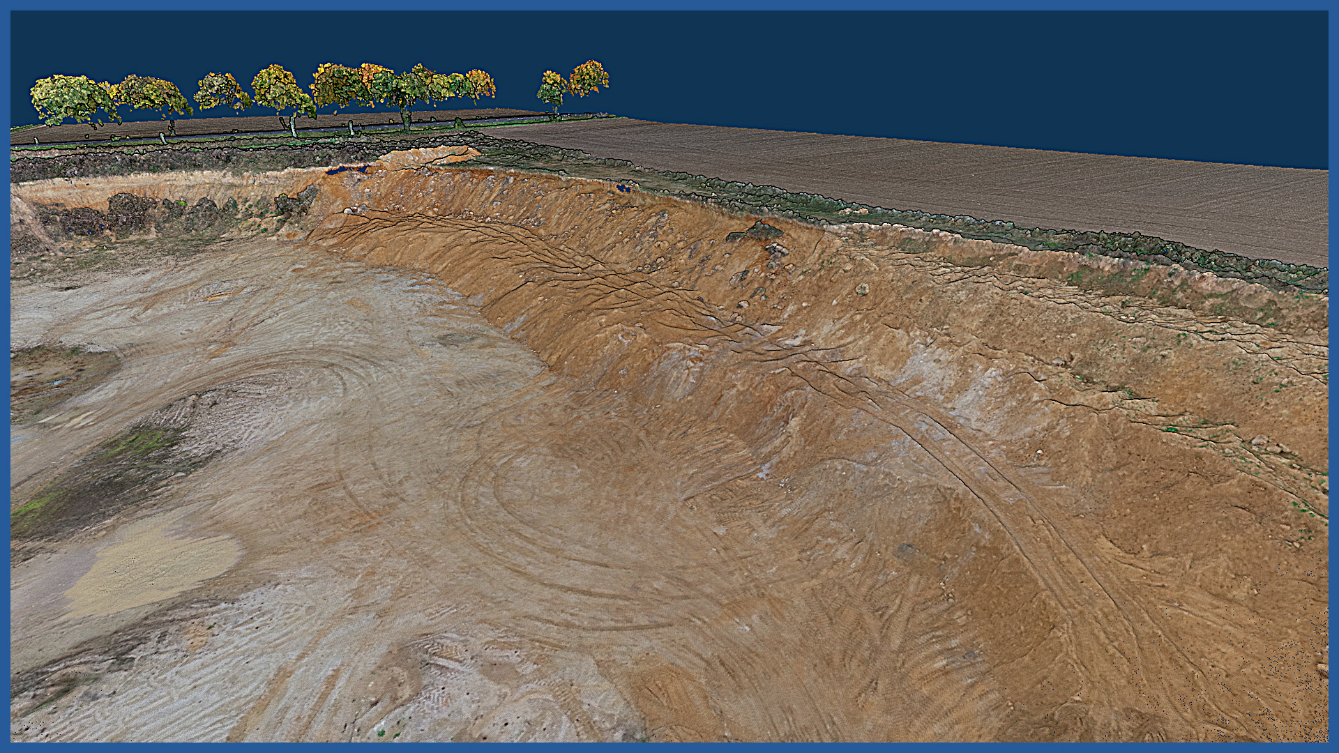
We accurately map excavations in 3D space using airborne laser scanning and photogrammetry. The high density of acquired points, together with the high accuracy of each of them, allows us to create a precise model of the entire excavation with its surroundings, on which even the smallest details are visible.
Point clouds are presented in real colors, which makes the identification of individual elements and becomes much easier.
On the basis of the point clouds, accurate and detailed terrain models are developed, transmitted in the form of a triangulated irregular network, contours or raster.
The prepared products can be made available online on specially dedicated servers, along with a set of tools for taking basic measurements. This makes it possible to perform basic analyses without installing additional software, In addition, they can be imported into design support programs.
In addition to clear visualization of the excavation, the acquired model makes it possible to perform an inspection of the mine, check all details and identify visible hazards.
On the high-density color point cloud it is possible to locate fissures, cavities, wall damage or other hazards. Analysis tools allow you to take measurements of distance, volume, area, as well as generate cross sections and projections.
POINT CLOUD CHARACTERISTICS:
| Point cloud density (LiDAR) | ~400 pts/m2 |
| Point cloud density (photogrammetry) | ~2500 pts/m2 |
| Accuracy | <3 cm |
| Data format | LAS / LAZ / E57 / TXT |
| Color palette | RGB / monochromatic / by elevation |
| Classification | ASPRS standard |
| Coordinate System | adapted to project |
DSM / DTM CHARACTERISTICS:
| Data type | raster / vector |
| Data format | GeoTIFF / DWG / DXF / DTM |
| XY accuracy | <3 cm |
| Z accuracy | <3 cm |
| Coordinate System | adapted to project |
| Vertical Reference System | adapted to project |
/ OTHER FROM MINES, STOCKPILES, QUARRIES
- stockpile measurement
- cyclic measurements of changes in excavation volume
- high-resolution orthophotomaps
- point clouds and terrain models
- inspections and analysis
– identification of hazardous locations
– cross sections
– watershed analysis
– transport routes condition


