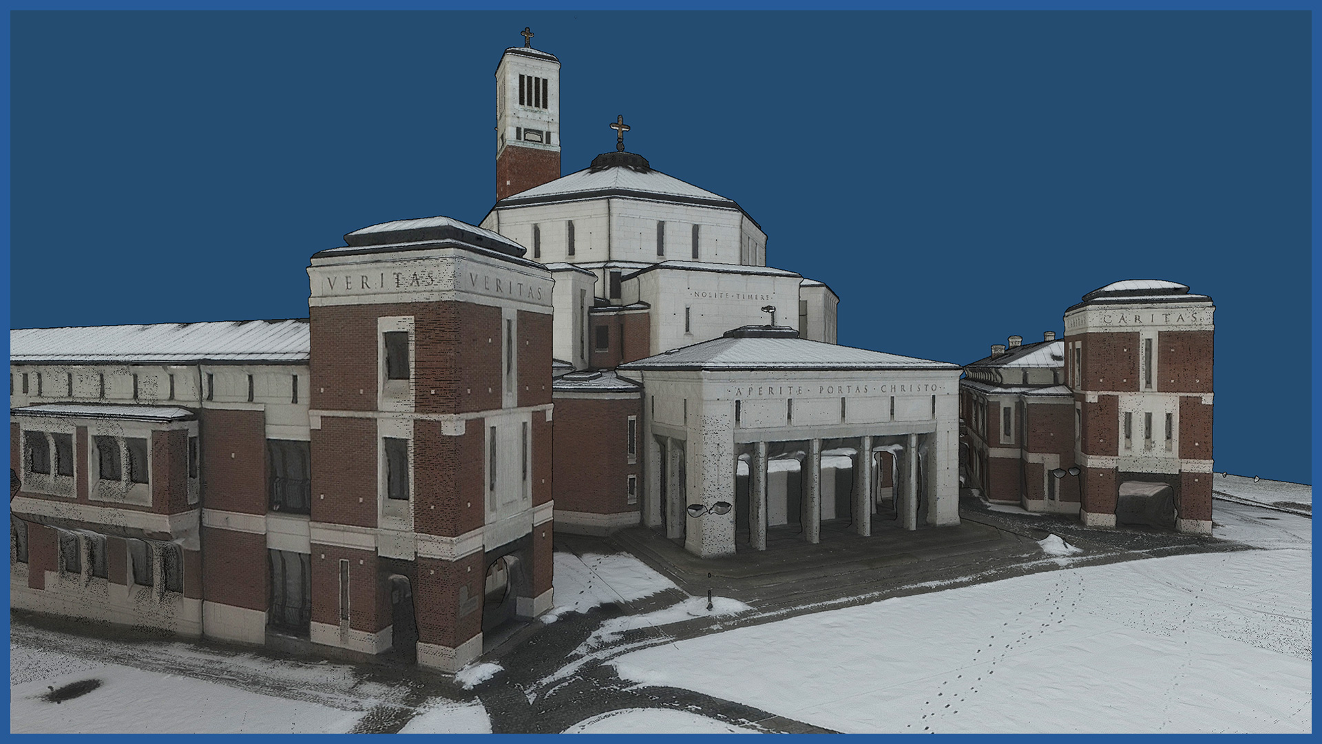
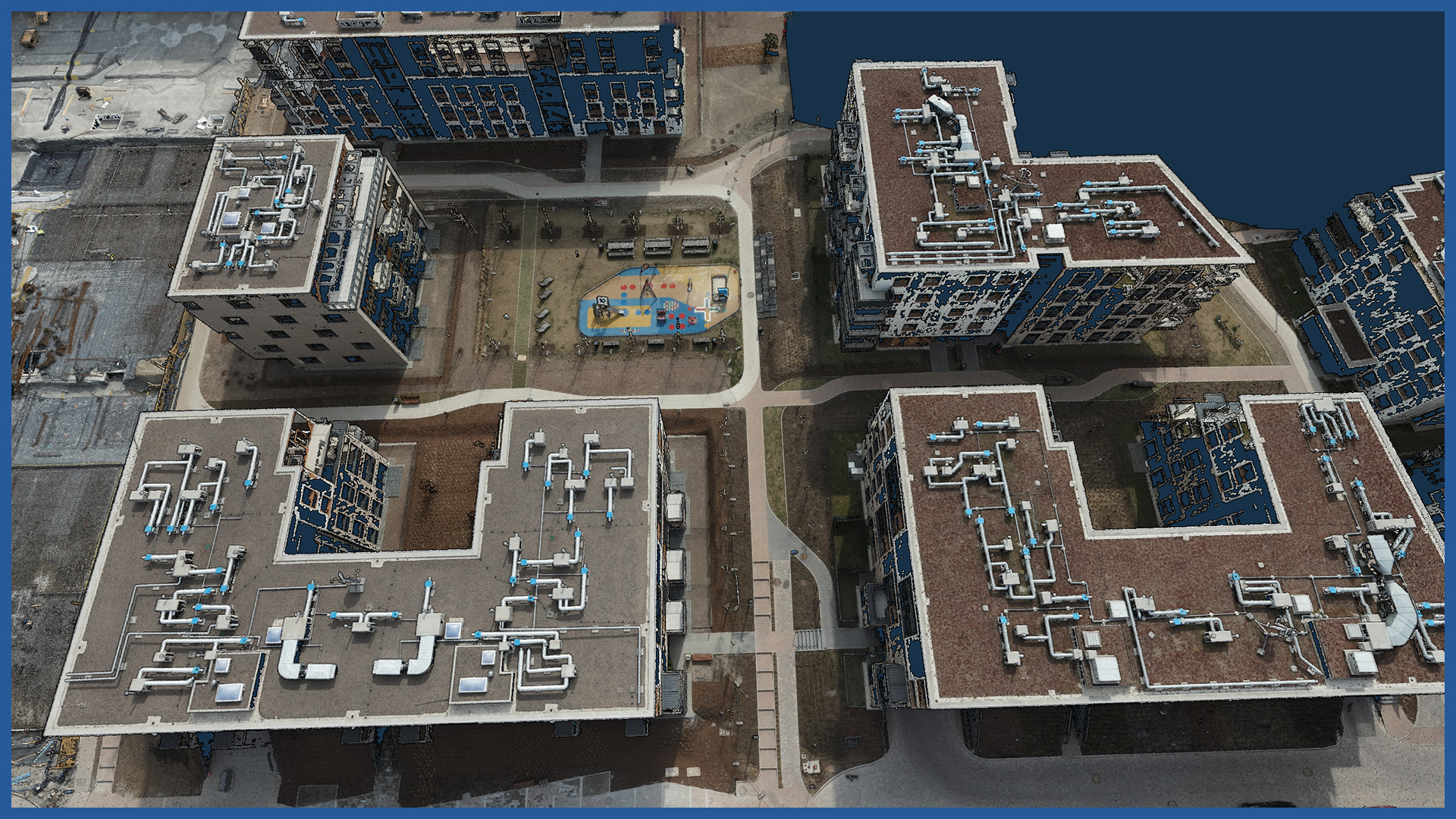
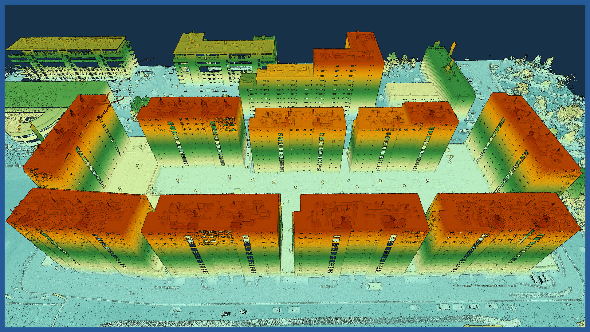
We make dense point clouds with the use of airborne laser scanning, as well as with the help of photogrammetric methods, allowing us to build a very detailed and accurate spatial model of the place and surroundings of the project.
Point clouds are colored in order to identify individual objects and details. They can be imported into all major designing supporting programs (for example, Revit).
Point clouds can be used to analyze the impact of designed buildings and structures on their surroundings:
– 3D distances
– building heights
– overshadowing and shading
– spatial linkage and conditioning with surrounding areas.
POINT CLOUD CHARACTERISTICS:
| Point cloud density (LiDAR) | ~400 pts/m2 |
| Point cloud density (photogrammetry) | ~2500 pts/m2 |
| Accuracy | <3 cm |
| Data format | LAS / LAZ / E57 / TXT |
| Color palette | RGB / monochromatic / by elevation |
| Classification | ASPRS standard |
| Coordinate System | adapted to project |


