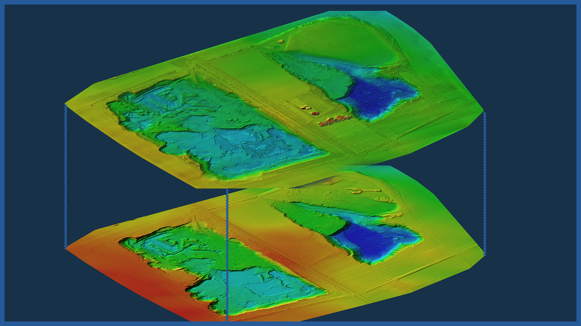
We perform cyclic laser scanning of heaps allowing to document the changes occurring in them. Measurements are characterized by full detail and maintain the accuracy of classical methods using GNSS receivers.
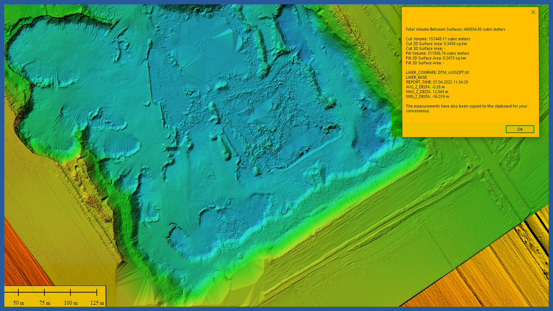
We compare the terrain models from different days to each other and determine the exact differences in volume in the set periods. Lacking generalization, the accuracy of the measurement makes us achieve accurate and reliable results.
By using aerial techniques in the measurement, we eliminate the dangers of moving people through the excavations, as well as reduce equipment downtime.
The advantages of using this technology are:
– high detail and lack of generalization used in traditional measurements
– speed of measurement and processing
– safety of conducting measurements
– many ways of presenting data and calculation results.
The presentation of the results can be made in 3D space with visualization of differences occurring in a given period or in a traditional way, as tabular summaries, contour grids and cross-sections.
This documentation can also serve as a detailed check of studies performed by other methods, and thus prevent possible errors and resulting losses.
POINT CLOUD CHARACTERISTICS:
| Point cloud density (LiDAR) | ~400 pts/m2 |
| Point cloud density (photogrammetry) | ~2500 pts/m2 |
| Accuracy | <3 cm |
| Data format | LAS / LAZ / E57 / TXT |
| Color palette | RGB / monochromatic / by elevation |
| Classification | ASPRS standard |
| Coordinate System | adapted to project |
DSM / DTM CHARACTERISTICS:
| Data type | raster / vector |
| Data format | GeoTIFF / DWG / DXF / DTM |
| XY accuracy | <3 cm |
| Z accuracy | <3 cm |
| Coordinate System | adapted to project |
| Vertical Reference System | adapted to project |
/ INNE Z KOPALNIE, HAŁDY, KAMIENIOŁOMY
- stockpile measurement
- cyclic measurements of changes in excavation volume
- high-resolution orthophotomaps
- point clouds and terrain models
- inspections and analysis
– identification of hazardous locations
– cross sections
– watershed analysis
– transport routes condition


