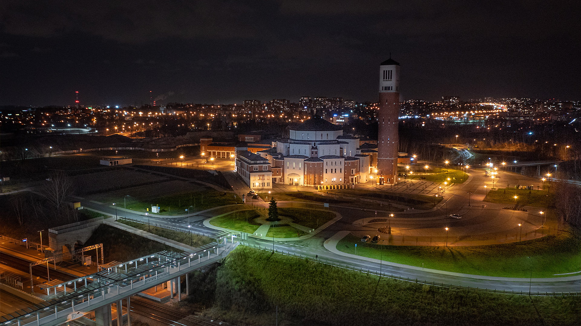
We have high-end photographic equipment. Our drones are equipped with professional cameras and high-resolution sensors, and the operators are professional photographers awarded in photo contests.
The “bird’s eye view” photos and videos we take allow us to present properties from a new and attractive perspective.
In addition to classic photos and videos, we also make:
- complete video and photo presentations
- advertising, promotional and image productions
- printed catalogues or interactive ones in pdf
- oblique and vertical photos/videos
- dedicated virtual tours
- google street view style virtual tours from the air and from the ground
- 360-degree panoramic images.
We have all the required authorizations to legally perform safe photo raids.
PRODUCT CHARACTERISTICS:
| product type | report/ photo library / video library |
| photo format | jpg / raw / pdf |
| video format | avi / mp4 / mov |
| data sharing | HDD / SSD / www / FTP |
| signature type | time + geolocation |
/ OTHER FROM REAL ESTATE: INVESTMENT, MANAGEMENT, SUPERVISION
- ortophotomaps: a source of spatial information
- measurement and documentation of the condition of the site before the investment
- terrain models
- vegetation map
- documentation of the current status of the investment as of a specific date
- control measurements, inventory, inspections
- aerial thermal imaging of roofs and building facades
- facade orthophotos
- photorealistic 3D models
- virtual tours
- web platform for communication with participants in the investment process with residents
- photo / video documentation
