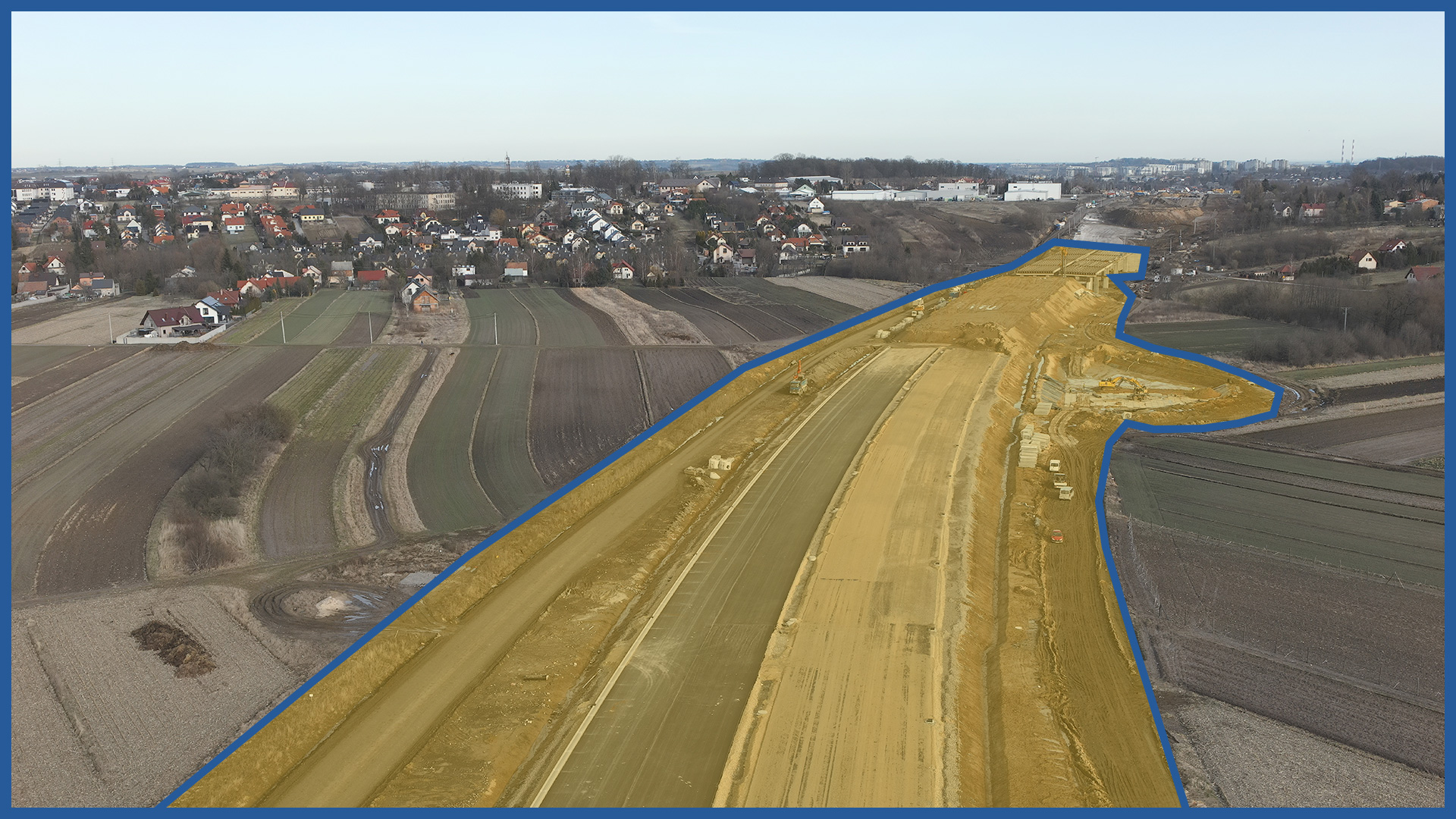
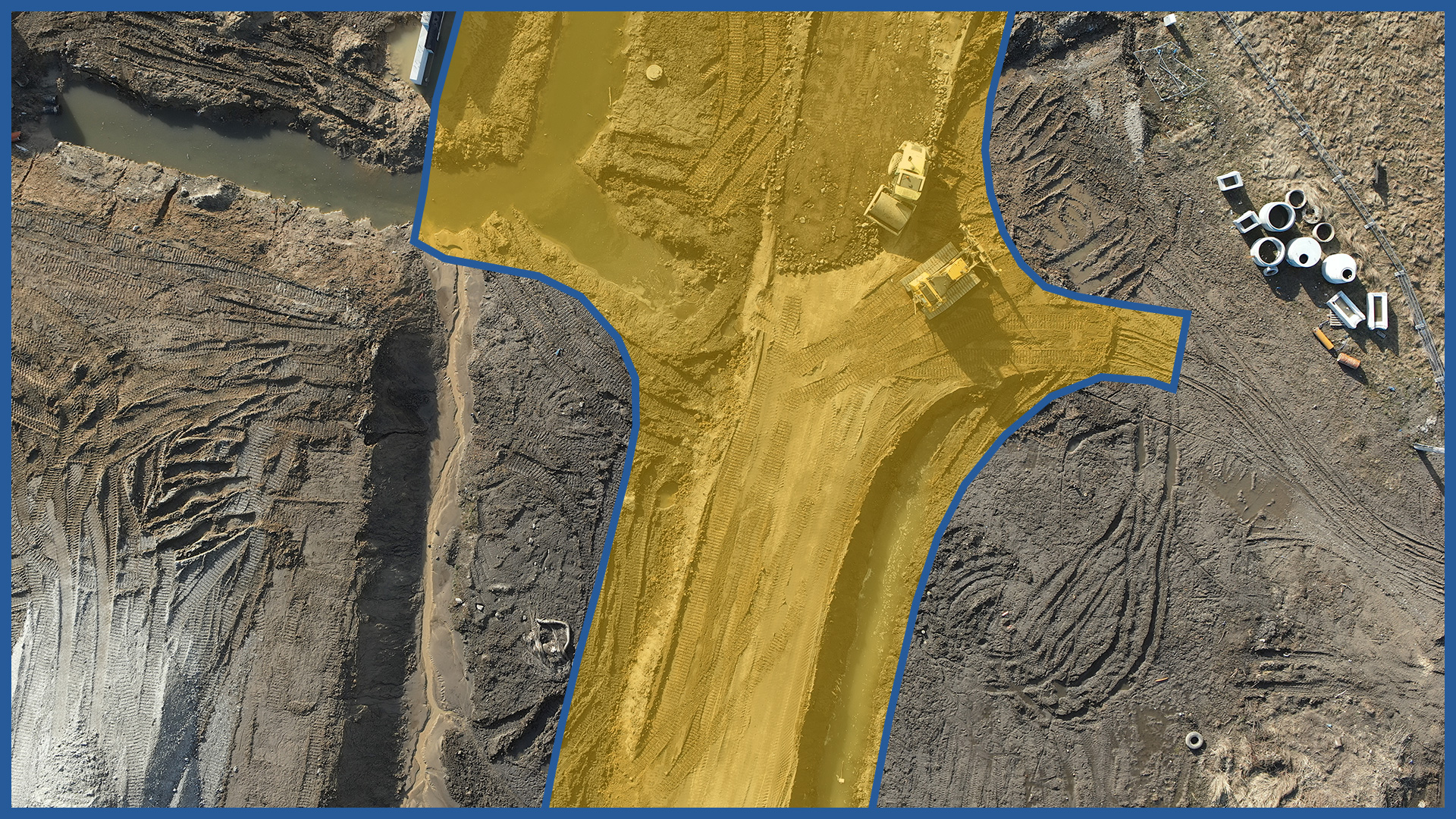
Cyclically made photo-reports created on the basis of orthophotomaps and oblique photos allow to illustrate the process of construction over time. They cover the entire project area, while maintaining the detail of the product.
For civil engineering structures, we can perform detailed inspections.
Using aerial technology, we can quickly illustrate the area of the entire project, including places with difficult access. This gives the client the opportunity to document the processes of interest, current statuses and conditions on a particular day.
PRODUCT CHARACTERISTICS:
| product type | report/ photo library / video library |
| photo format | jpg / raw / pdf |
| video format | avi / mp4 / mov |
| data sharing | HDD / SSD / www / FTP |
| signature type | time + geolocation |
/ OTHER FROM ROAD INFRASTRUCTURE
– periodic/cyclic measurements for groundworks control
– creating cross section and comparing with project


