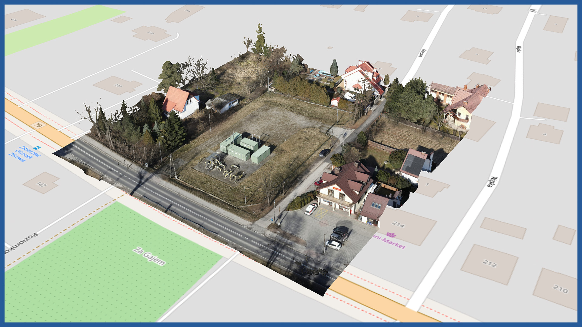
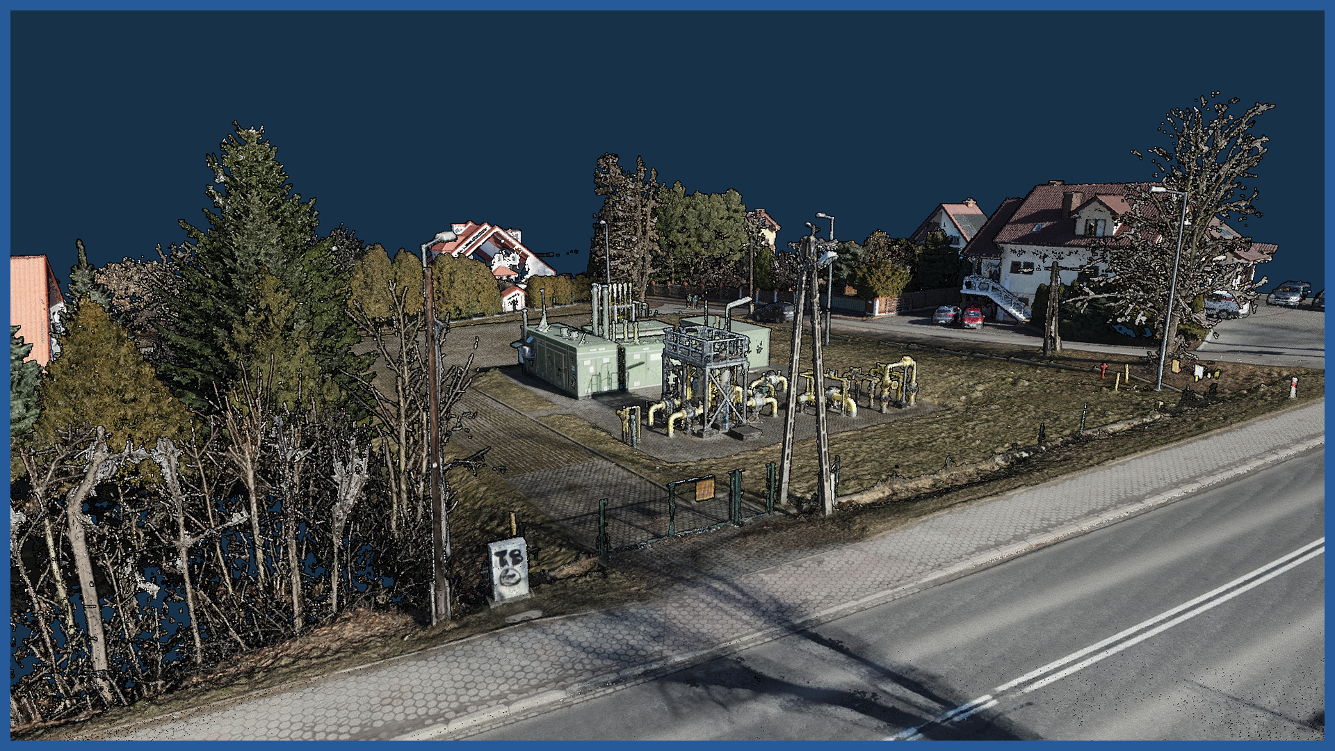
We make photorealistic 3D models of transmission infrastructure and their surroundings. We use low-level photogrammetry technology, the models have georeferenced data, which allows to embed them in a specific coordinate system.
The digital model can be used for visualization and presentation of transmission facilities, as well as for more detailed and accurate analysis related to maintenance or reconstruction of the facility.
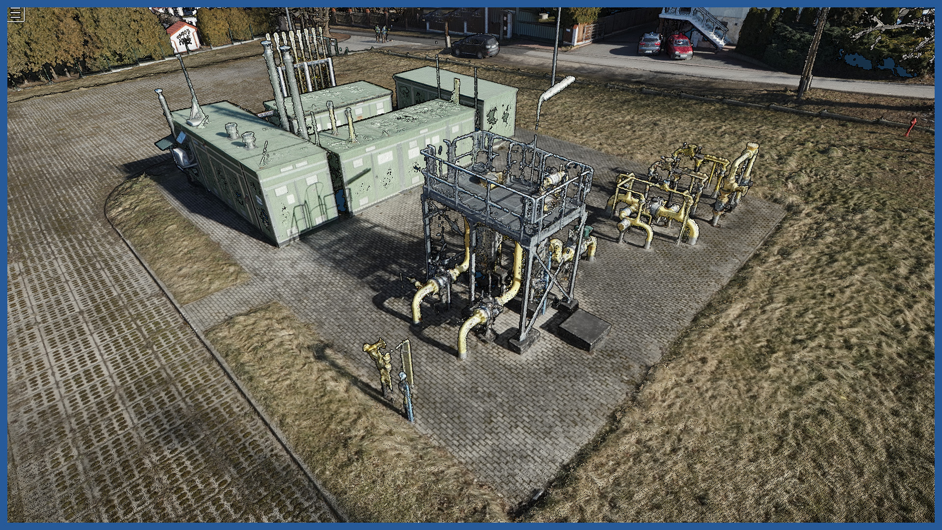
We use a high-end camera, so 3D models have very high resolution textures, where even the smallest details are visible.
The presentation is unambiguous and clear, making it easy to quickly view entire objects, as well as their details.
The 3D models we provide are characterized by high accuracy and detail. They allow precise measurement of heights, surface distances, as well as generation of cross-sections in the specified places.
3D MODEL CHARACTERISTICS:
| Data format | 3ds / dae / obj / tls |
| Coordinate System | adapted to project |
| Vertical Reference System | adapted to project |
| Color palette | RGB / monochromatic / by elevation |
/ OTHER FROM GAS NETWORKS
Select an area of interest:


