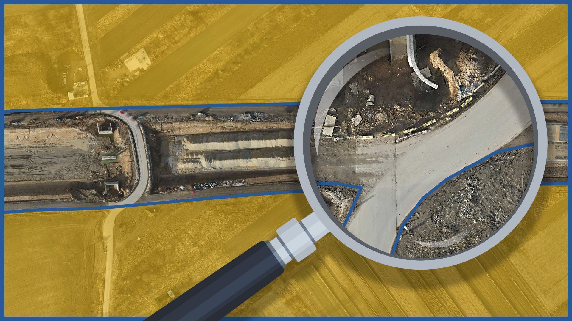
The speed of our execution and processing of a detailed orthophotomap makes it possible to measure and document the condition of the entire construction site with its surroundings on a specific day. The development can cover a large area while keepin all of the details.
Presentation of the actual state (orthophotomap) against the background of the project documentation allows us to quickly detect any deviations from the project, especially roadway crossings.
The orthophotomap, thanks to its georeferencing, is compatible with data from the real estate cadastre, and thus the construction image can be presented against the background of the registered borders of the parcels. This makes it possible to analyze in detail possible crossings of the roadway, calculate the area of occupation on individual parcels and be the basis for resolving or preventing disputes.
Orthophotomap can also document the areas of temporary occupations, identify technical infrastructure facilities. It can also serve as an element of the collation report after the completion of works.
ORTHOPHOTOMAP CHARACTERISTICS :
| Data format | GeoTIFF / JPEG / PDF |
| Ground Sampling Distance | od 1 cm |
| Accuracy | <3 GSD |
| Coordinate System | adapted to project |
| Color palette | 24 bit RGB |
| Compression | LZW / JPEG |
/ OTHER FROM ROAD INFRASTRUCTURE
– periodic/cyclic measurements for groundworks control
– creating cross section and comparing with project

