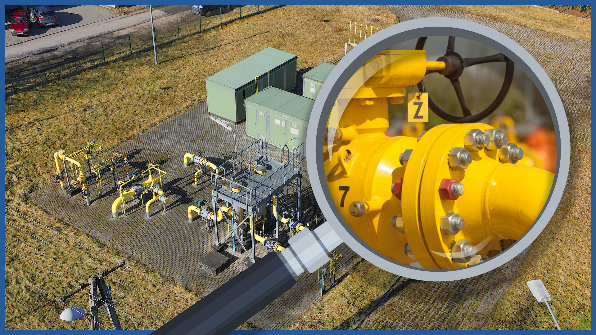
Our inspections of above-ground gas infrastructure are carried out using unmanned aerial vehicles.
Thanks to high-resolution sensors and professional optical zoom lenses, the collected photo or video material presents details of individual objects and their elements.
The measurements are detailed and very fast, saving time and reducing costs. The detail of the study does not eliminate its globality, all acquired data are georeferenced with an accuracy of single centimeters, so they are precisely located in the coordinate system.
Dangers associated with the movement of those taking measurements, including in restricted areas, are eliminated.
Application:
– assessment of the technical condition of above-ground infrastructure
– documentation of the condition in the field at a specific date
– baseline data for designing, planning investment and network maintenance activities.
PRODUCT CHARACTERISTICS:
| product type | report/ photo library / video library |
| photo format | jpg / raw / pdf |
| video format | avi / mp4 / mov |
| data sharing | HDD / SSD / www / FTP |
| signature type | time + geolocation |
/ OTHER FROM GAS NETWORKS
Select an area of interest:

