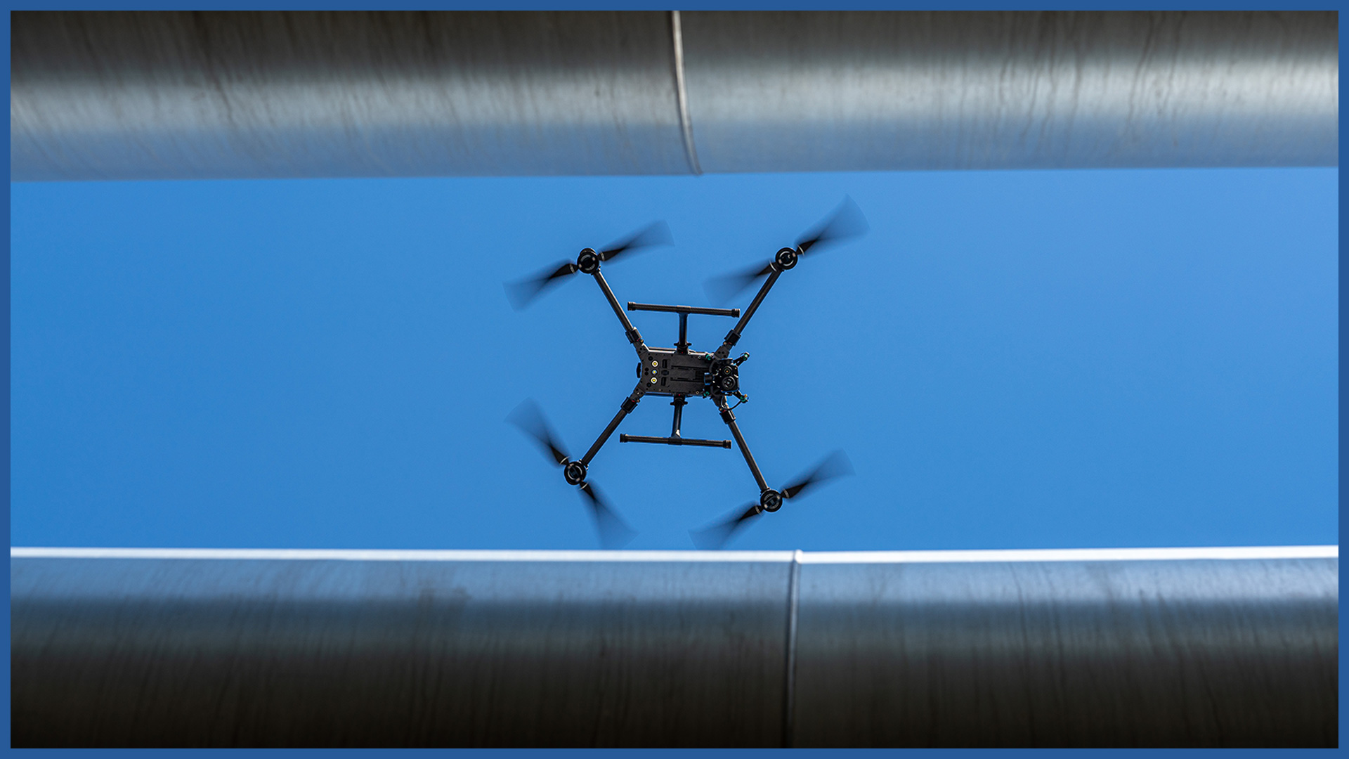
Our inspections of ground heating networks are carried out using unmanned aerial vehicles.
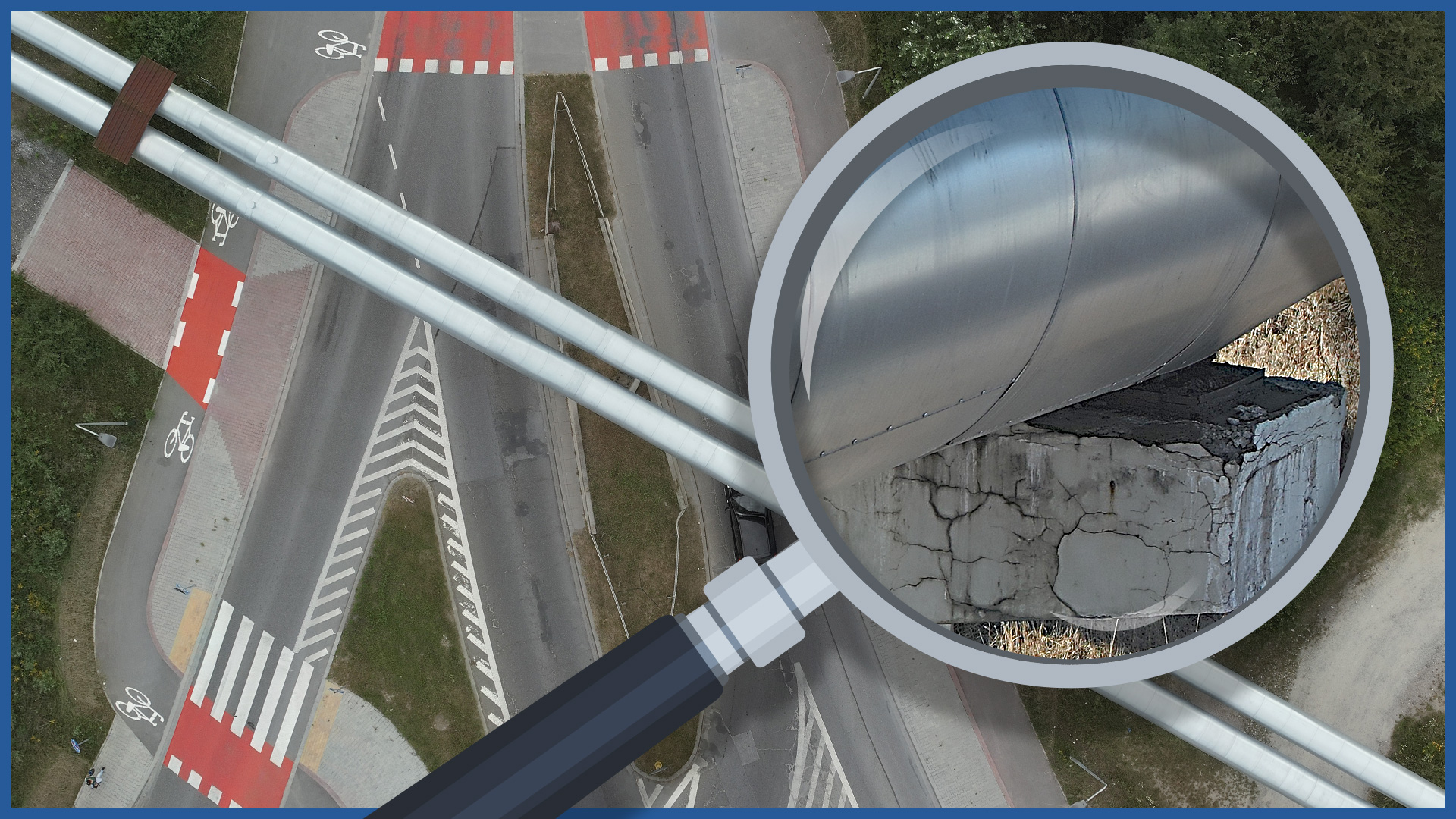
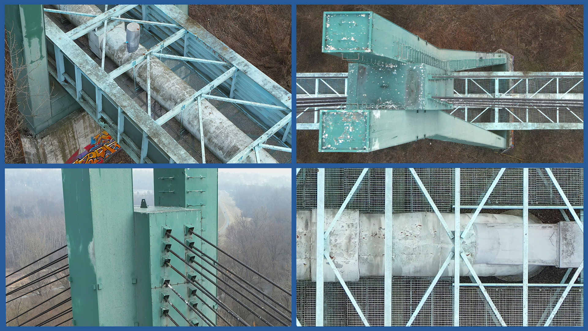
Thanks to high-resolution matrices and professional optical zoom lenses, the collected photo or video material presents details of individual objects and their elements.
Measurements are detailed and very fast, saving time and reducing costs.
The dangers of moving people taking measurements, including in restricted areas, are eliminated.
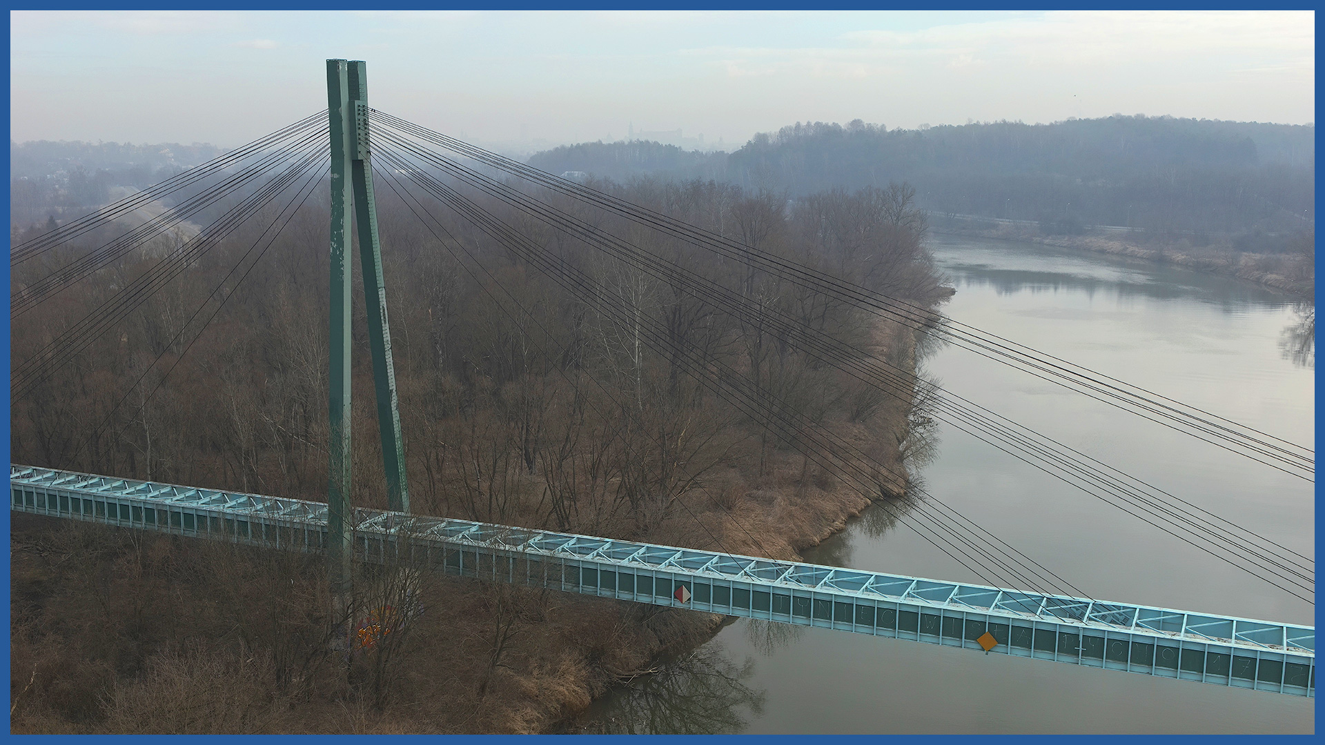
The advantage of the technology is the ability to cover inaccessible areas (pipe bridges, river crossings, tall structures) with safe measurement. The time required for inspection and data processing is short, which reduces costs.
Application:
– assessing the technical condition of above-ground infrastructure
– documentation of the condition in the field on a specific day
– base data for design, planning investment and network maintenance activities.
PRODUCT CHARACTERISTICS:
| product type | report/ photo library / video library |
| photo format | jpg / raw / pdf |
| video format | avi / mp4 / mov |
| data sharing | HDD / SSD / www / FTP |
| signature type | time + geolocation |
/ OTHER FROM HEAT NETWORKS
Airborne thermal imaging:
- qualitative analysis of the network condition
- location of the actual course of underground heat networks
Support services for network design/ supervision/ maintenance:


