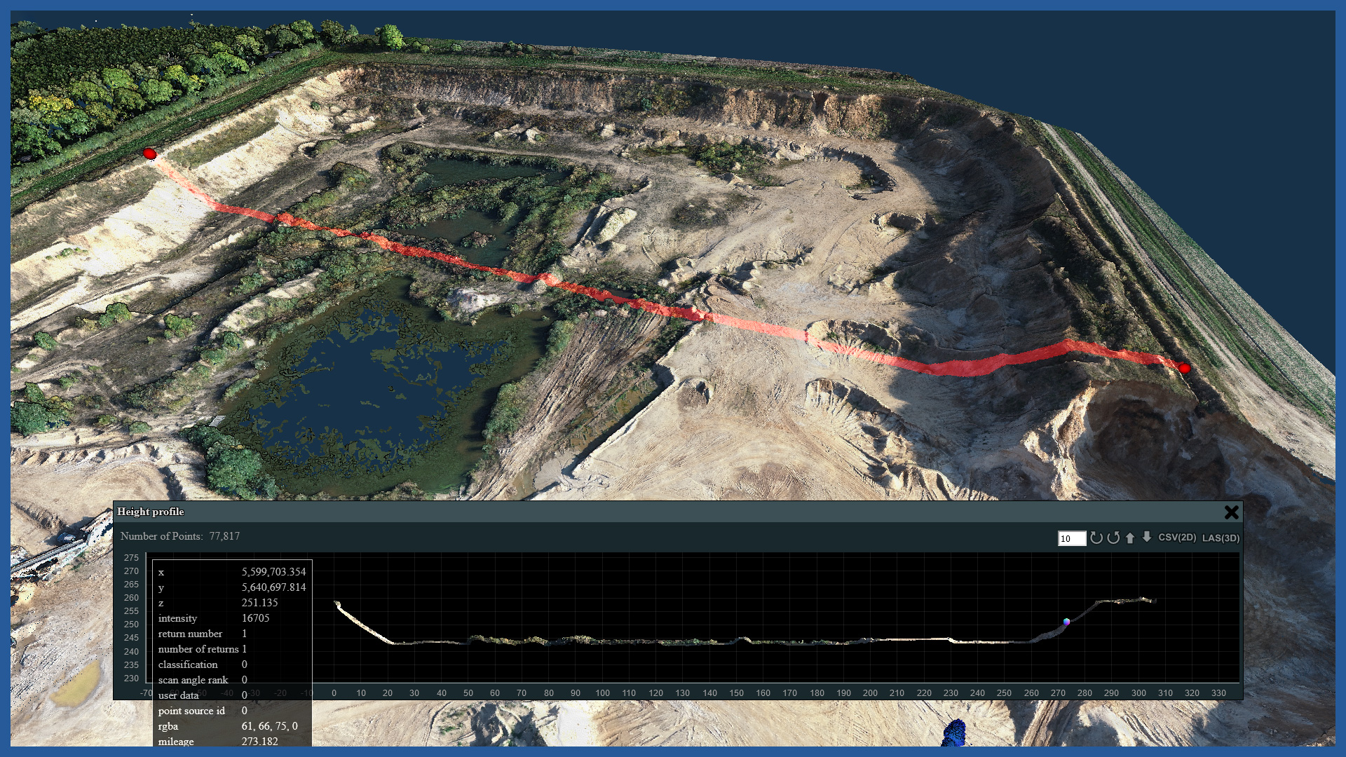
We provide accurate data for precise analysis and inspection for open-pit mines, pits, dumps, quarries and gravel pits. With the help of aerial laser scanning and photogrammetry, we make orthophotomaps, terrain models, point clouds for these areas.
The detail and precision of the aerial measurements made allows us to obtain accurate representations of objects with their details in a short time, while maintaining safety and not interfering with the processes and works carried out on the objects.
Millions of measured points allow us to match the customer’s demand and prepare the information and details of interest in the study. From the study covering the whole object with its surroundings with maintained accuracy, we can obtain details such as, for example, cracks in walls, the condition of access roads.
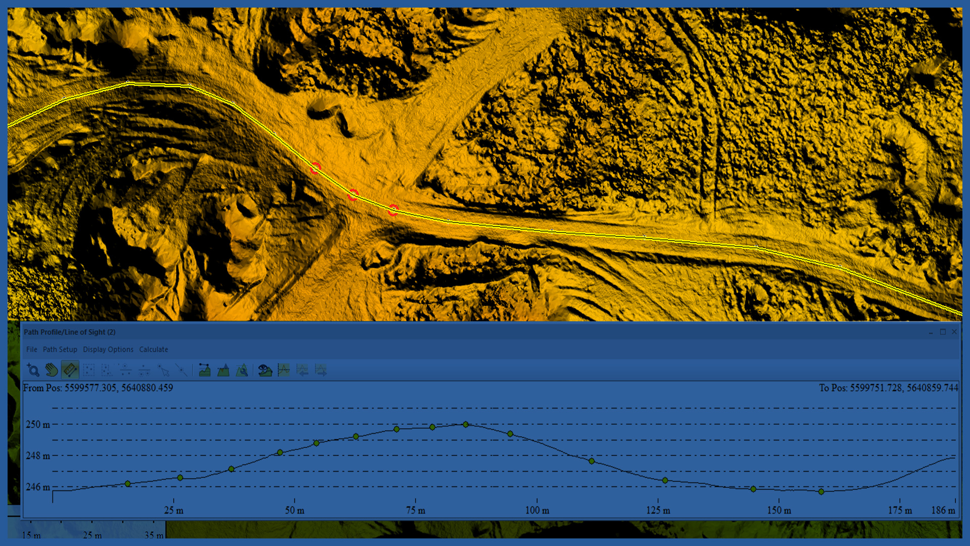
Point clouds and height models allow detailed studies in 3D space, as well as in 2D space. For example, cross sections, projections, contour maps can be generated.
With the developed terrain model you can:
– check the inclination of the excavation walls
– perform watershed analysis
– calculate volumes of selected elements.
/ OTHER FROM MINES, STOCKPILES, QUARRIES
- stockpile measurement
- cyclic measurements of changes in excavation volume
- high-resolution orthophotomaps
- point clouds and terrain models
- inspections and analysis
– identification of hazardous locations
– cross sections
– watershed analysis
– transport routes condition


