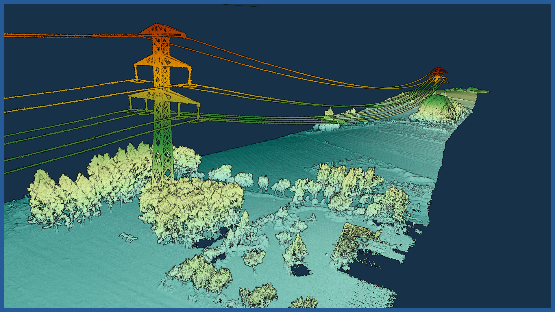
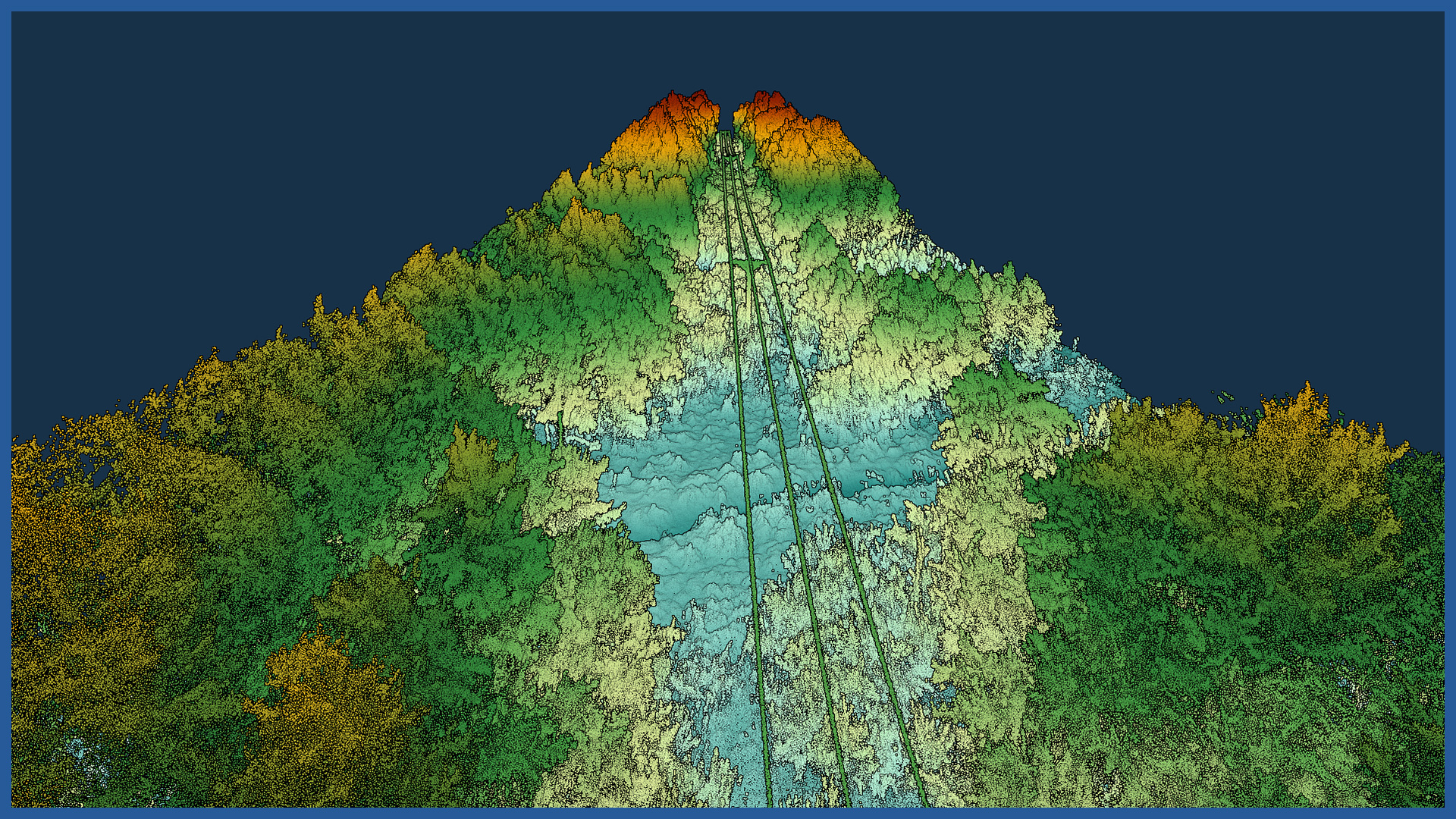
We make inventories of overhead power lines using airborne laser scanning. This makes measurement and processing a rapid process, while maintaining the required accuracy.
We precisely measure thousands of points on the wires and then process the data using specialized software.
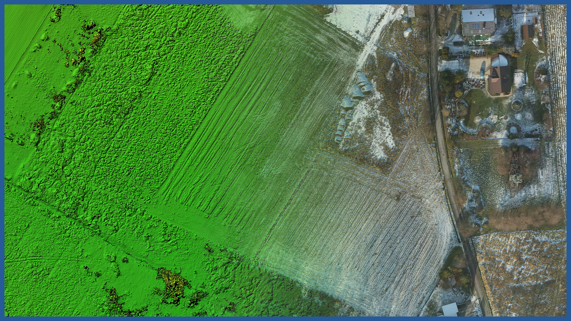
During the flight, we also acquire detailed information about the terrain around the lines.
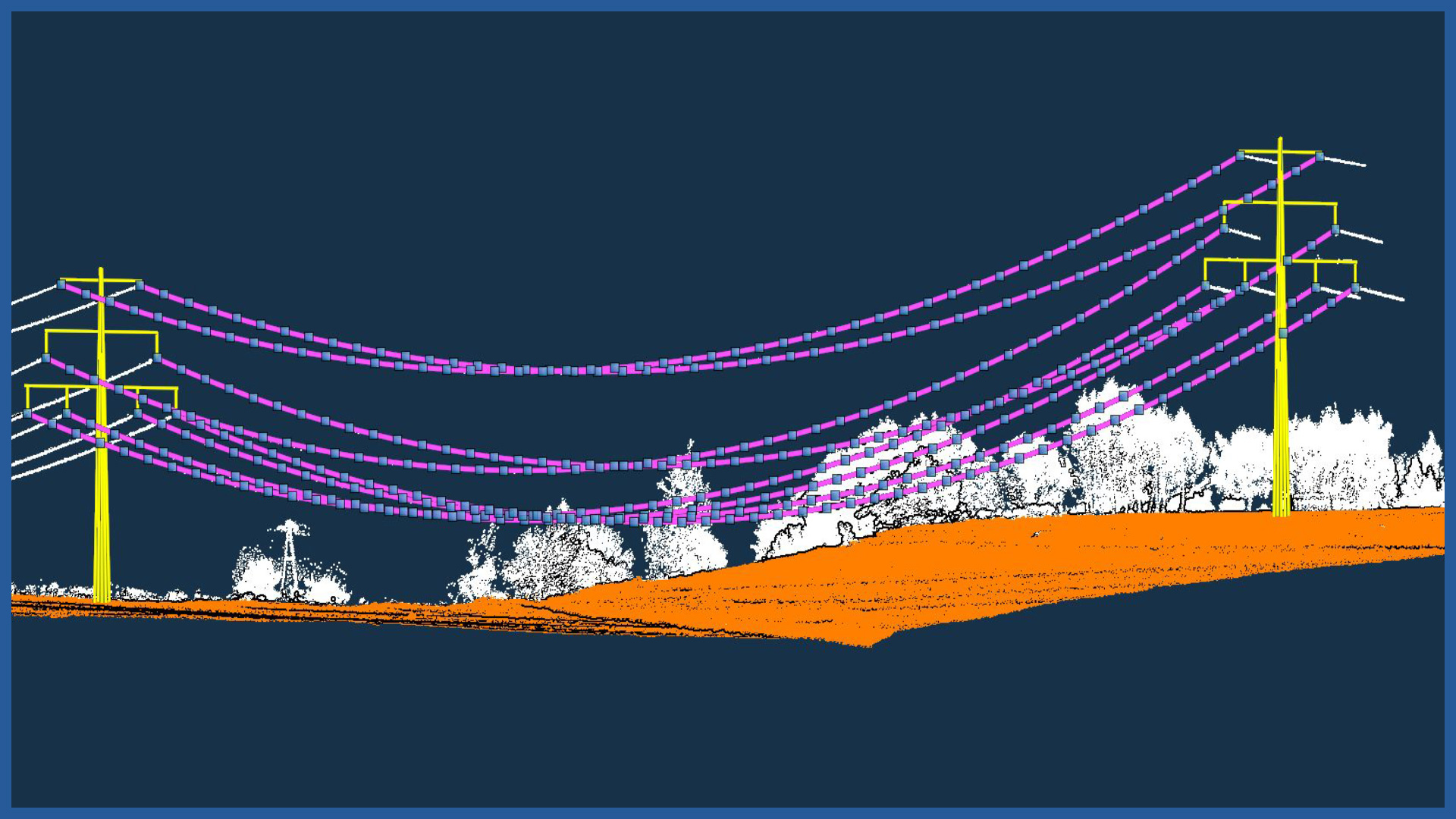
We classify the point cloud obtained during aerial scanning to extract the wires. Specialized software allows us to fit a catenary, making the whole process very precise.
We also determine the exact location of the poles, and vectorize the poles in a schematic way.
On the basis of this data, power line profiles are produced, which are important both for planning line upgrades and for planning network load increases, where information on the distance between the line and the terrain or buildings is crucial.
POINT CLOUD CHARACTERISTICS:
| Point cloud density (LiDAR) | ~400 pts/m2 |
| Point cloud density (photogrammetry) | ~2500 pts/m2 |
| Accuracy | <3 cm |
| Data format | LAS / LAZ / E57 / TXT |
| Color palette | RGB / monochromatic / by elevation |
| Classification | ASPRS standard |
| Coordinate System | adapted to project |
/ OTHER FROM ENERGETICS
Power lines:
– powerlines modeling
– calculating catenary parameters
– powerlines profiles
Electricity stations / traction substations:


