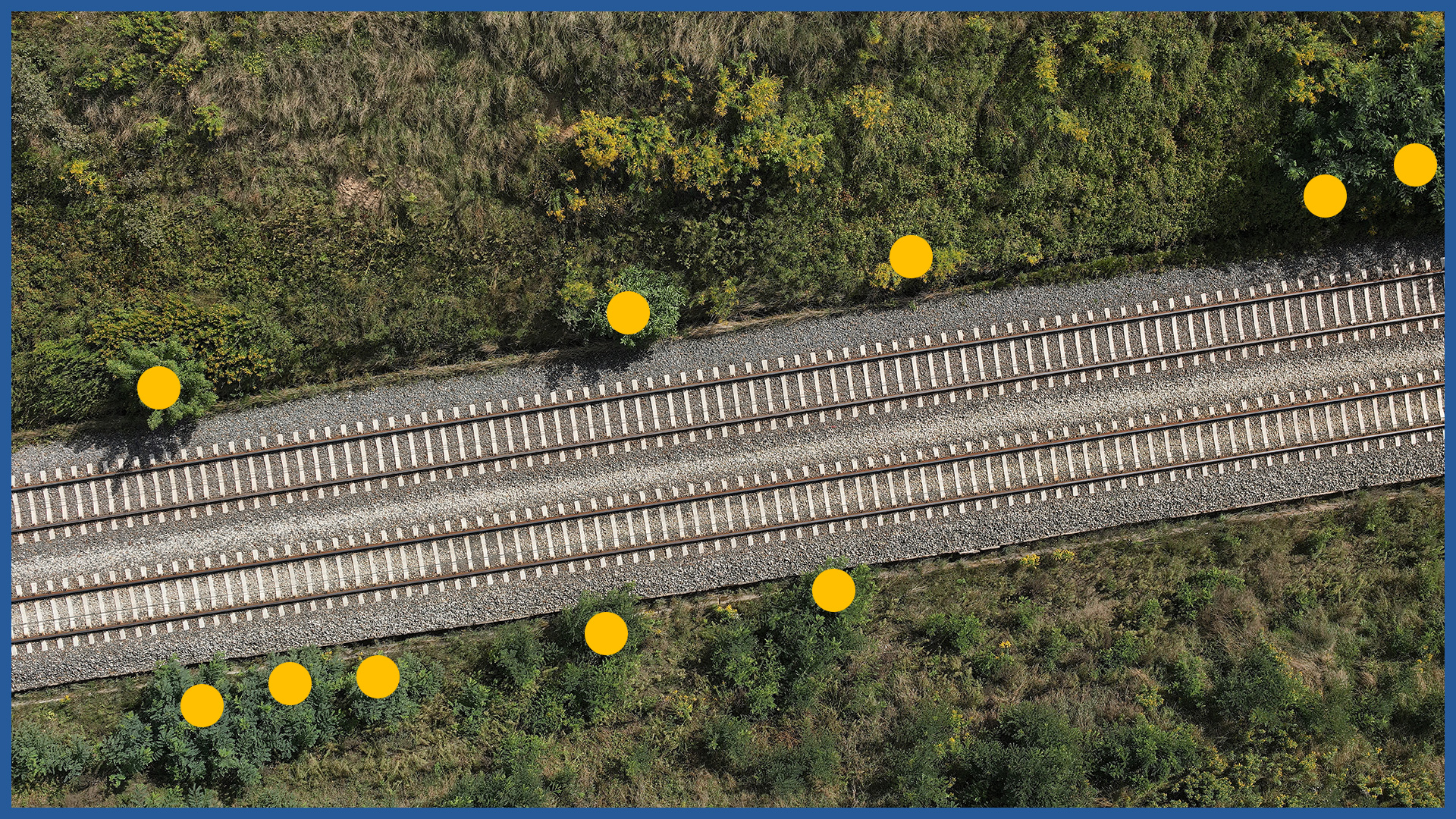
Orthophotos made by us allow you to prepare and supervise the process of cutting trees as a result of ongoing investments, and then accurately document and account for the work performed.
Combining the raster part with the project allows even before the start of field activities to plan the method of execution and improves the estimation of the workload. This is especially important in places that are difficult to access.
Thanks to georeferencing, we can present the data against the background of the project documentation and real estate cadastre and obtain information on the location of individual trees in relation to the boundaries of registered parcels.
Performing an aerial survey in the course of the work being carried out makes it possible to quickly determine the progress of the work.
Orthophotomap after the completion of the work is a document on the basis of which it is possible to perform the necessary studies, including:
– counting the number of trunks of felled trees with their diameter
– measurement of the area covered by the felling
– comparison of the inventory with the project in terms of quantity and area, presentation of differences, accounting for additional work
– presentation of overruns beyond the project range.
ORTHOPHOTOMAP CHARACTERISTICS:
| Data format | GeoTIFF / JPEG / PDF |
| Ground Sampling Distance | od 1 cm |
| Accuracy | <3 GSD |
| Coordinate System | adapted to project |
| Color palette | 24 bit RGB |
| Compression | LZW / JPEG |
/ OTHER FROM RAILWAY INFRASTRUCTURE
- high-resolution railway orthophotomaps
- dense point clouds
- digital terrain models
- zero measurement
- high-resolution photo/video documentation to assess the condition of the railroad:
– rails and railroad sleepers
– traction network and surrounding infrastructure
– bridges, viaducts, flyovers, engineering structures

