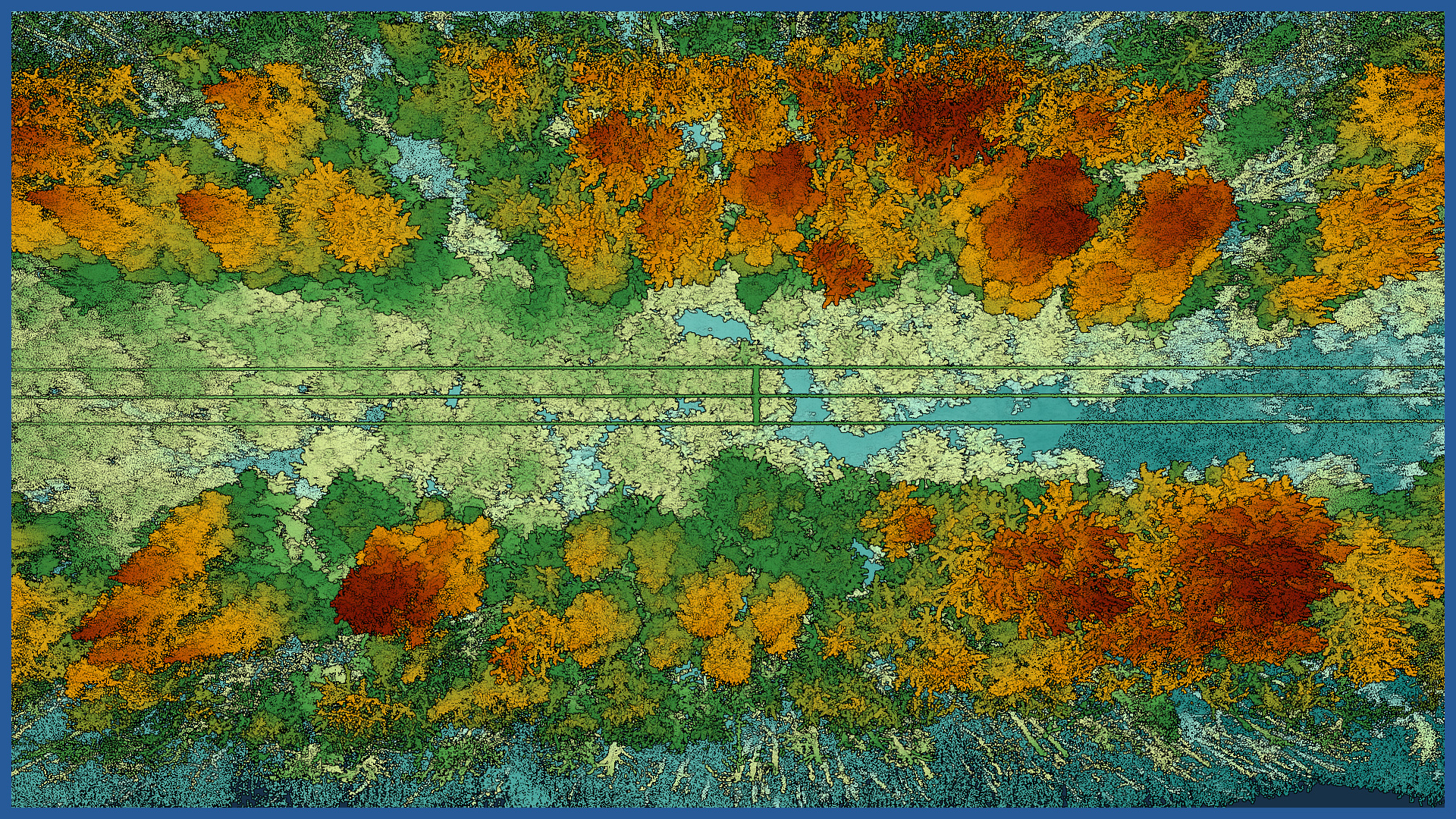
Using aerial laser scanning, we acquire data in a fast and precise way within the power grids running along forest areas, including places that are difficult to access for traditional measurements. We can perform the work at night and in low-light conditions.
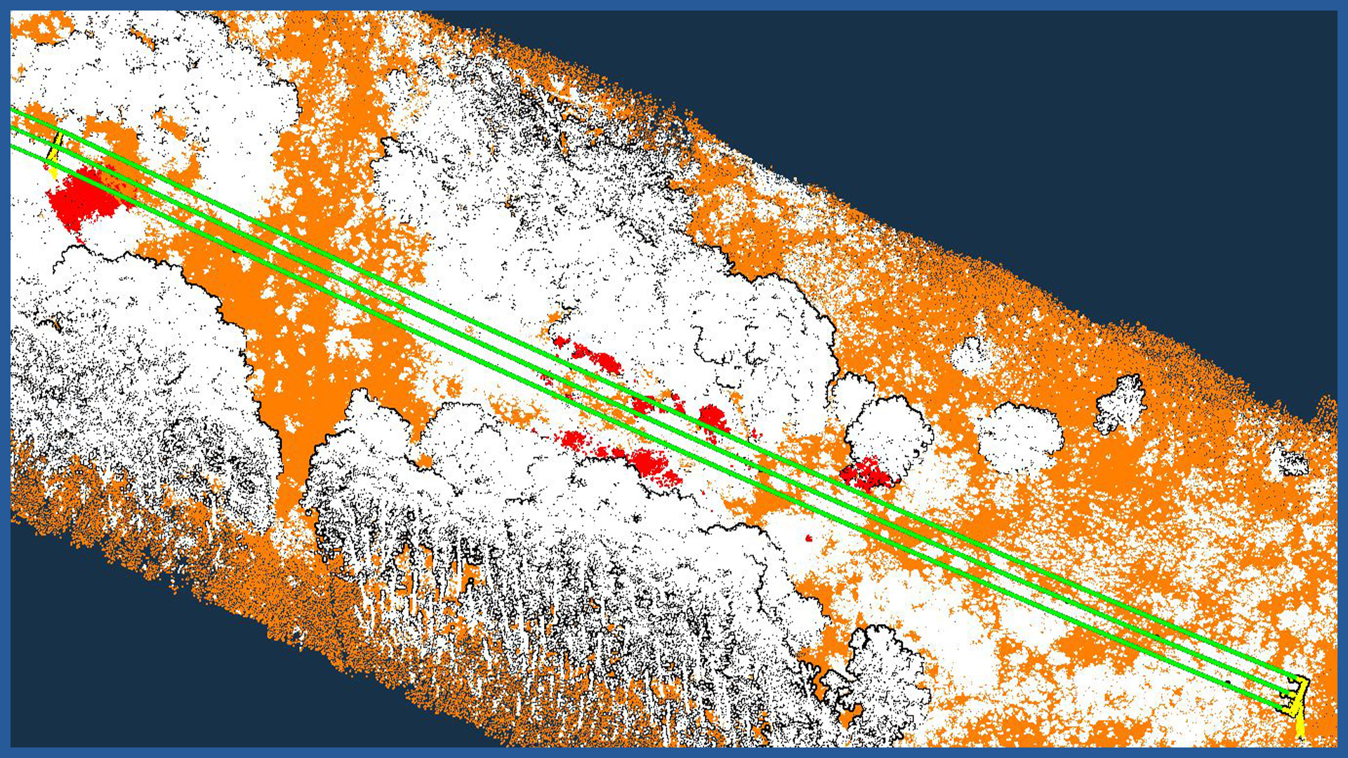
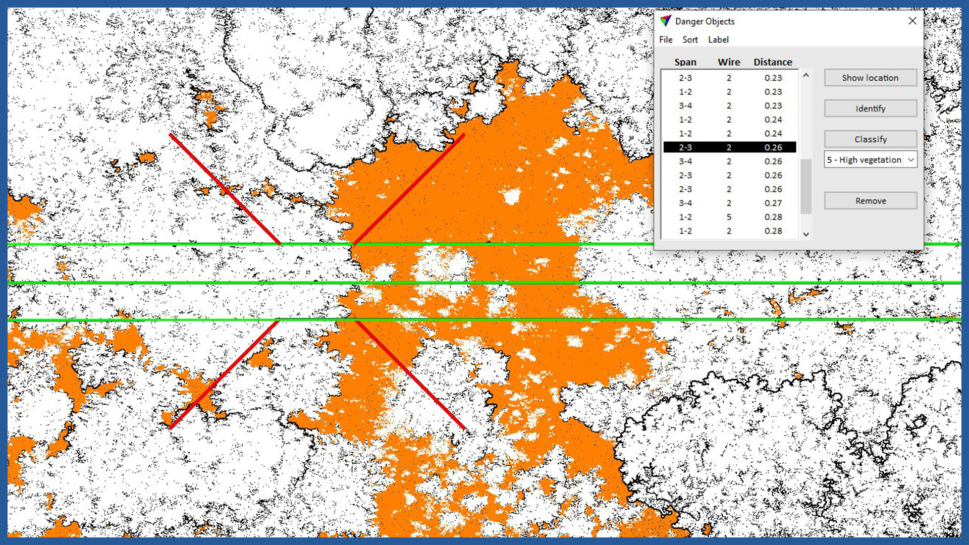
Our studies are used to detect collisions between trees and power lines, both at the stage of planning maintenance work and repairing faults.
Aerial techniques allow us to quickly reach the inspection site and take detailed measurements. The scanner used accurately records the condition of the network along with the terrain under and adjacent forests and individual trees.
The result is a spatial digital documentation, on the basis of which it is possible to perform an analysis of the existing condition, measure horizontal and vertical distances accurately, determine approach zones and plan work in advance.
In case of emergency situations (windfalls, storms, damage), we can perform a quick inspection to speed up the location and assess the extent and nature of the damage.
POINT CLOUD CHARACTERISTICS:
| Point cloud density (LiDAR) | ~400 pts/m2 |
| Point cloud density (photogrammetry) | ~2500 pts/m2 |
| Accuracy | <3 cm |
| Data format | LAS / LAZ / E57 / TXT |
| Color palette | RGB / monochromatic / by elevation |
| Classification | ASPRS standard |
| Coordinate System | adapted to project |
/ OTHER FROM ENVIORNMENT
- vegetation maps
- inventory of greenery, forest complexes
- collisions of vegetation with objects
- inventory and monitoring of felling
- measurement and modeling of river valleys
– embankments inventory
– hydrotechnical facilities inventory


