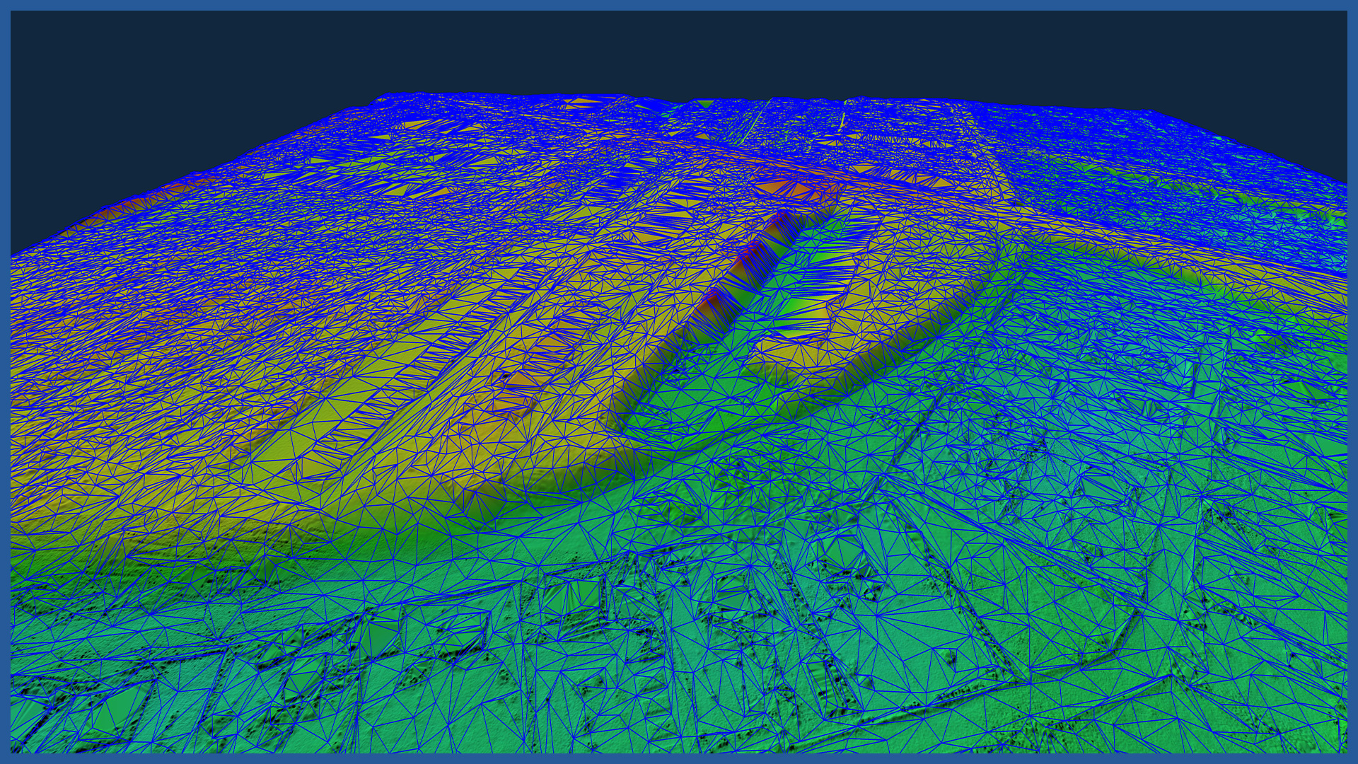
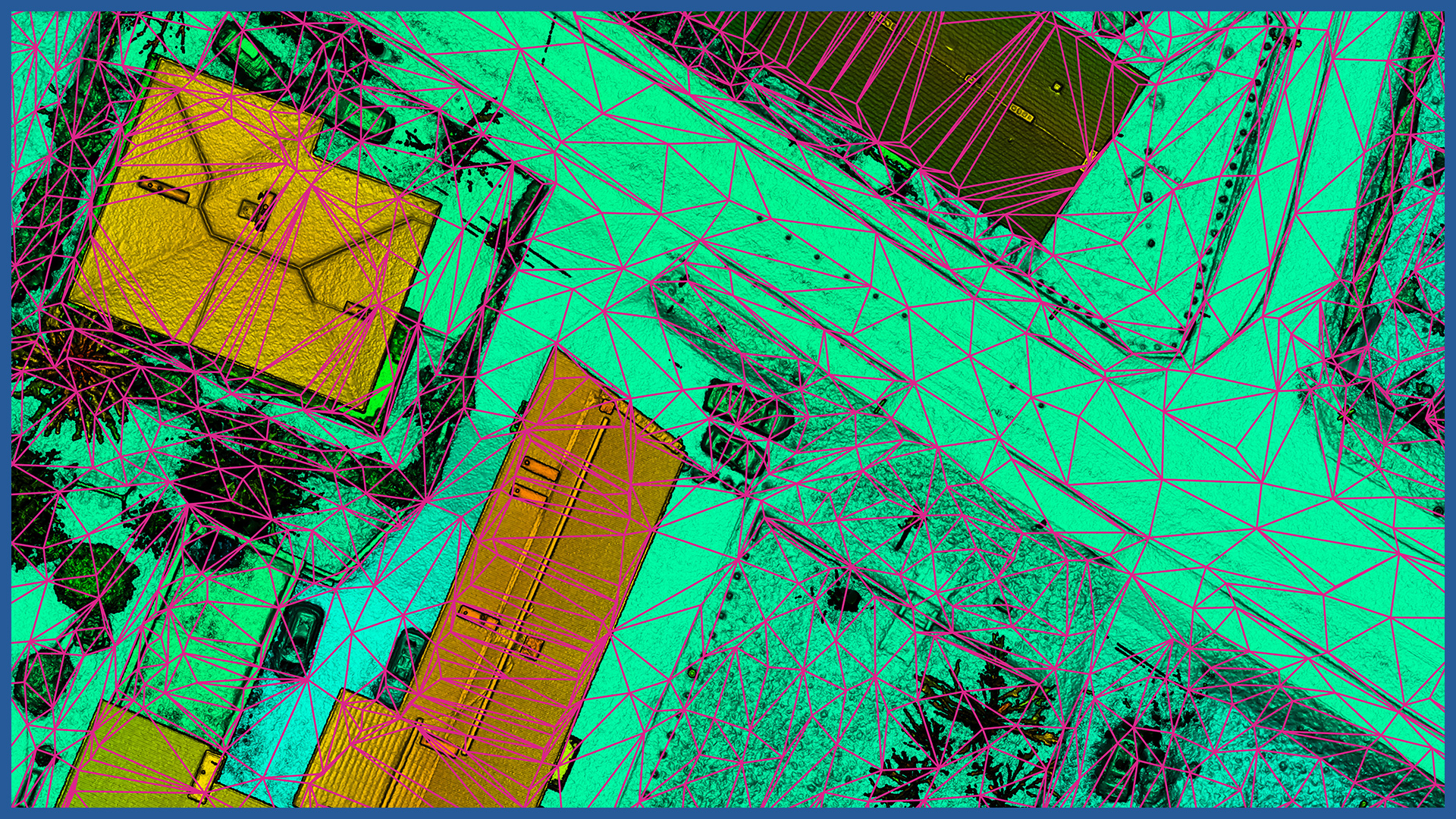
We make detailed models of terrain relief and land cover using data acquired by airborne laser scanning and low-altitude photogrammetry.
The detail of the terrain model guarantees the reflection of all irregular surfaces and shapes without generalization. The density of points on the basis of which models are made ranges from several hundred to several thousand points per square meter.
Short time of data acquisition and processing allows to perform measurements cyclically and obtain a whole range of comparative analysis.
Accurate relief and land cover model allows precise supervision, design and pre-measurement of investments. It is used for:
– analyzing spatial conditions
– determining the height of buildings
– optimization of land development project
– design in 3D space
– greenery management
– fulfillment of the conditions arising from MPZP and building regulations.
Data can be made available online or provided directly in the form of:
– contour model
– vector grid of triangles taking into account the land continuity lines
– raster model.
The software used allows automatic generation of cross-sections and longitudinal sections, calculation of volumes in relation to the layers of the project site.
DSM / DTM CHARACTERISTICS:
| Typ danych | rastrowe / wektorowe |
| Format danych | GeoTIFF / DWG / DXF / DTM |
| Średni błąd położenia (sytuacyjny) | poniżej 3 cm |
| Średni błąd położenia (wysokościowy) | poniżej 3 cm |
| Układ współrzędnych XY | zgodny z wymaganiami |
| Układ wysokościowy H | zgodny z wymaganiami |
/ OTHER FROM REAL ESTATE: INVESTMENT, MANAGEMENT, SUPERVISION
- ortophotomaps: a source of spatial information
- measurement and documentation of the condition of the site before the investment
- terrain models
- vegetation map
- documentation of the current status of the investment as of a specific date
- control measurements, inventory, inspections
- aerial thermal imaging of roofs and building facades
- facade orthophotos
- photorealistic 3D models
- virtual tours
- web platform for communication with participants in the investment process with residents
- photo / video documentation


