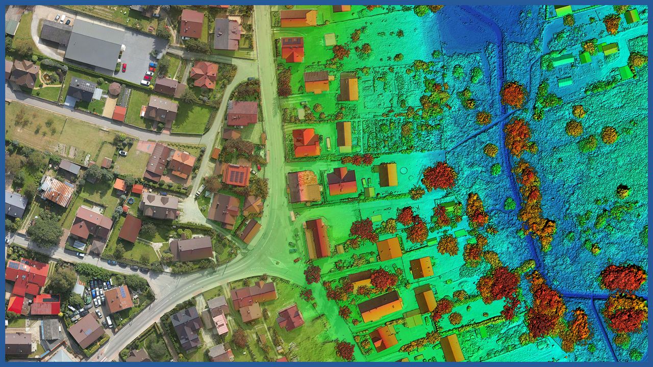
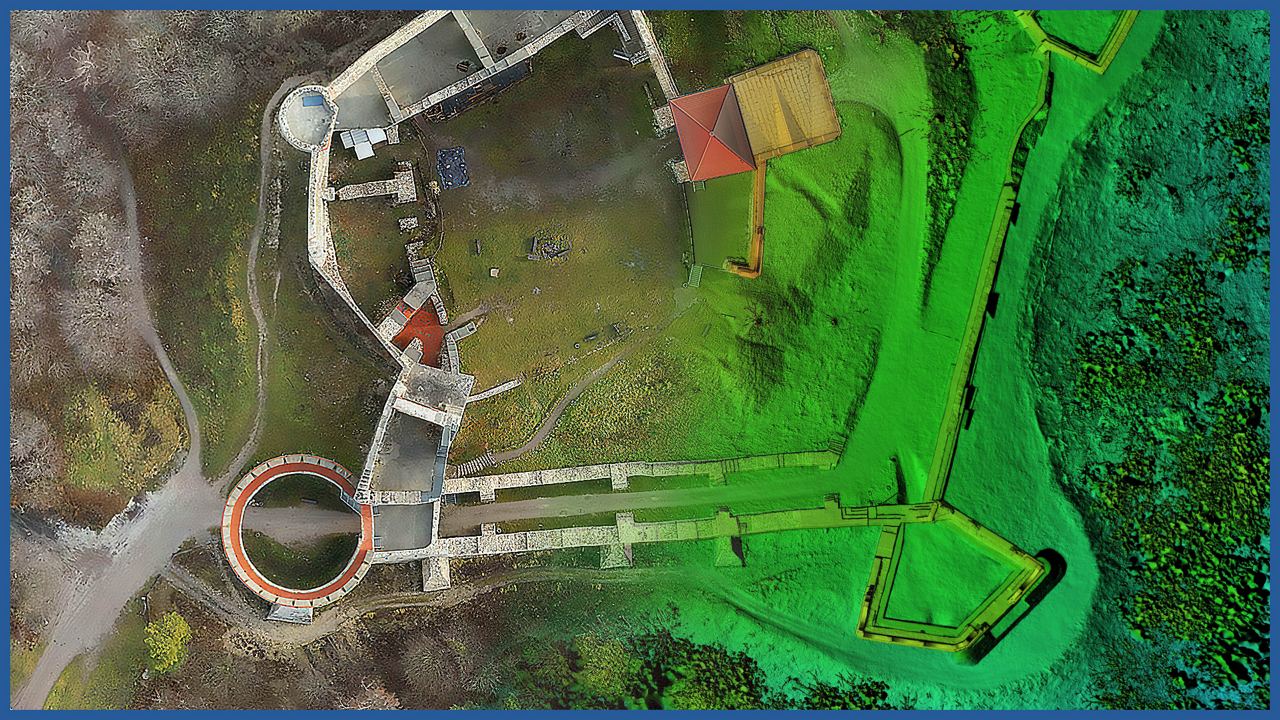
We make detailed relief and land cover models based on data acquired by airborne laser scanning and low-altitude photogrammetry.
LiDAR technology supplements terrain information in obscured areas by supplementing photogrammetric data.
The terrain models feature accuracy comparable to that of GNSS receivers, but lack the generalization problem found in traditional surveying.
Accurate terrain and land cover model allows precise design and pre-measurement of investments.
It is used for:
– analyzing spatial conditions (insolation, shading)
– determining the height of buildings
– optimization of land development project
– designing in 3D space
– greenery management
– fulfillment of the conditions arising from the Local Development Plan and building regulations.
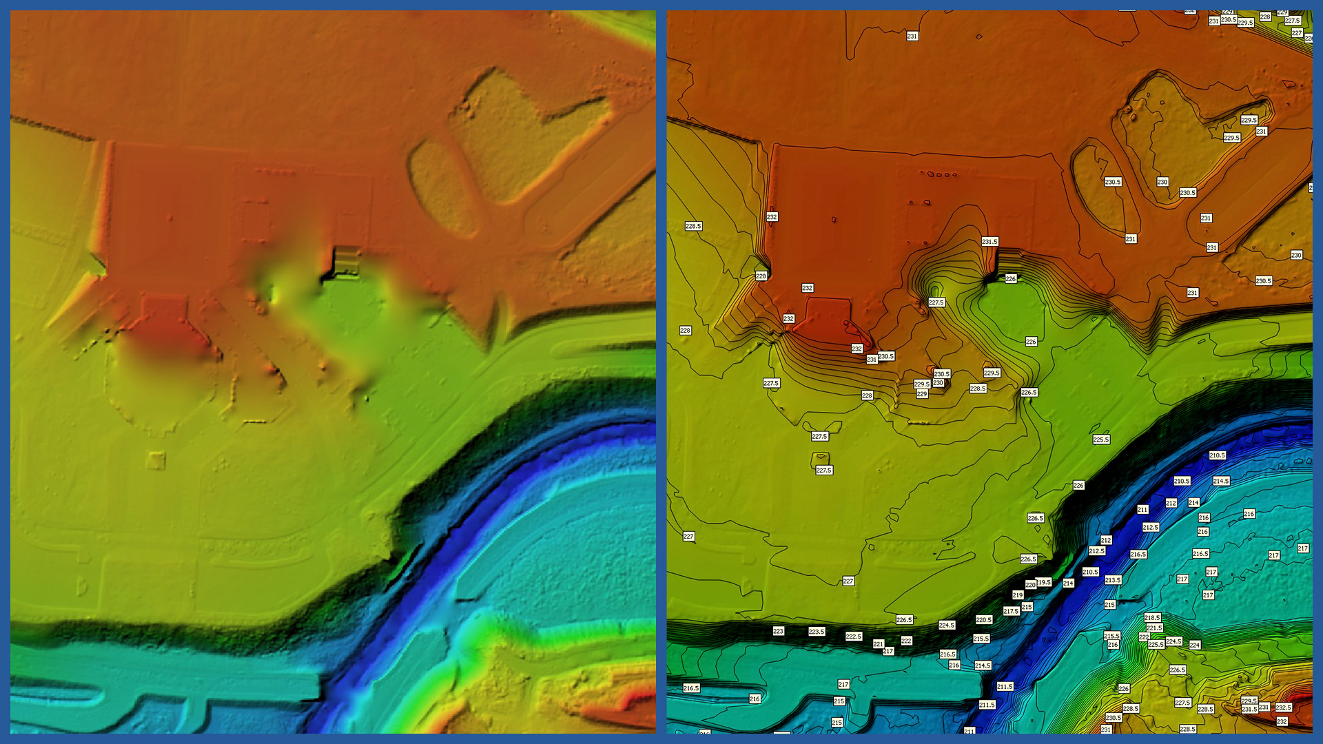
The model can also be presented in a traditional form:
– contour model
– triangulated irregular network
– raster model.
DSM / DTM CHARACTERISTICS:
| Data type | raster / vector |
| Data format | GeoTIFF / DWG / DXF / DTM |
| XY accuracy | <3 cm |
| Z accuracy | <3 cm |
| Coordinate System | adapted to project |
| Vertical Reference System | adapted to project |


