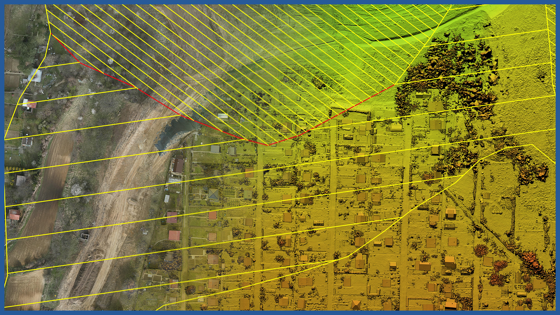
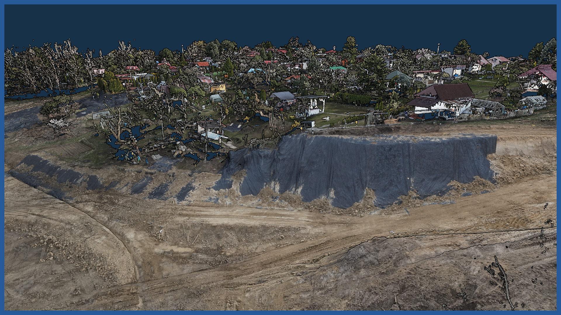
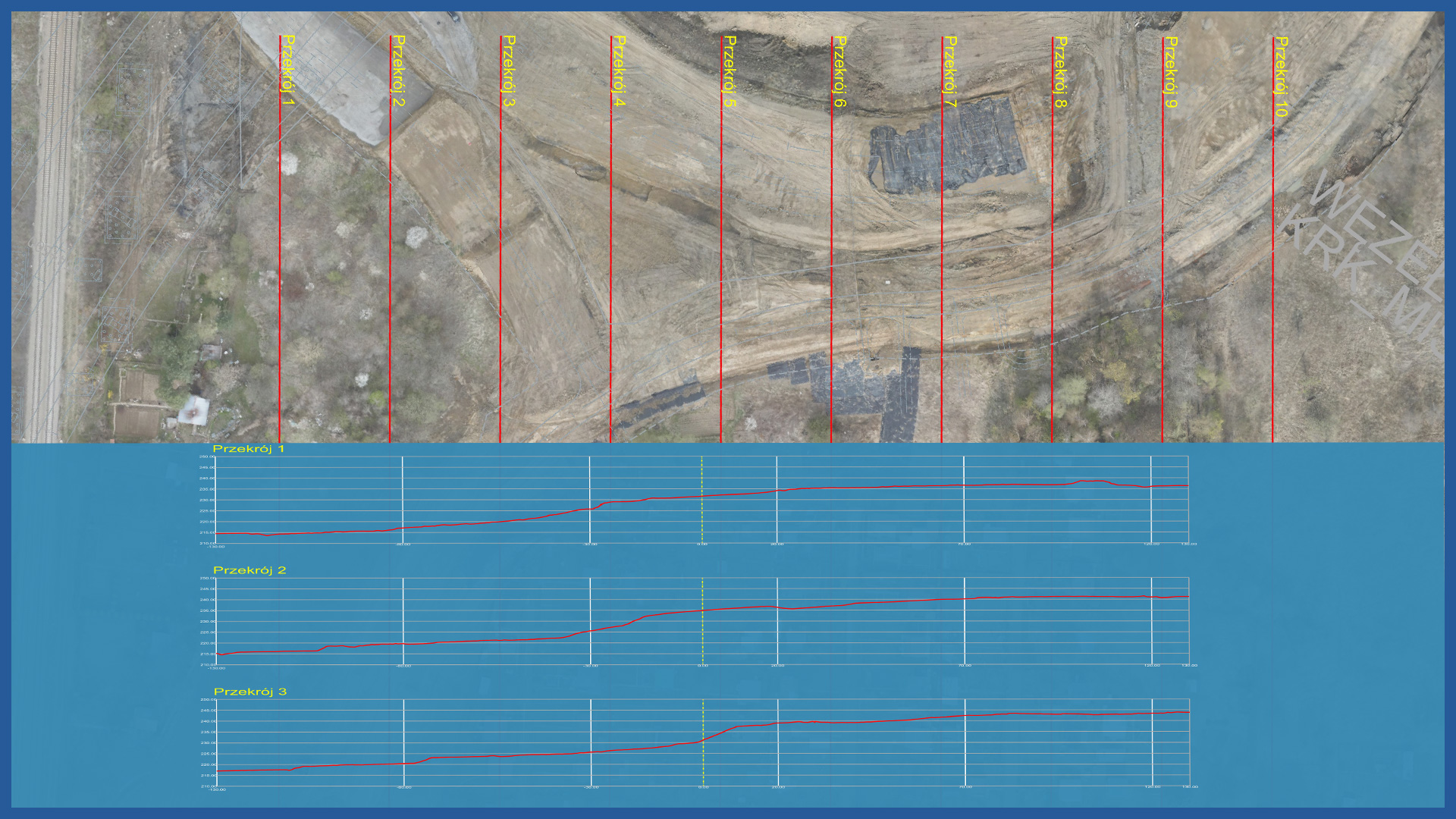
We perform accurate measurements and monitoring of landslides using unmanned aerial vehicles. The precision of measurement is close to classic GNSS techniques, and due to the detail and number of recorded points, there is no problem of generalization.
Our photogrammetric raids provide data for determining horizontal and vertical displacements. We measure areas covered with vegetation with a LiDAR scanner.
Our measurements are much safer than classic surveys, which require a surveyor to constantly move within the landslide. The technology we use requires only the establishment and measurement of gorund control points and check points.
The time to take and process our measurements is short, despite the highly detailed data.
Periodic photogrammetric and LiDAR surveys provide material for detailed analyses of landslide activity.
POINT CLOUD CHARACTERISTICS:
| Point cloud density (LiDAR) | ~400 pts/m2 |
| Point cloud density (photogrammetry) | ~2500 pts/m2 |
| Accuracy | <3 cm |
| Data format | LAS / LAZ / E57 / TXT |
| Color palette | RGB / monochromatic / by elevation |
| Classification | ASPRS standard |
| Coordinate System | adapted to project |
CHARACTERISTICS OF DSM / DTM:
| Data type | raster / vector |
| Data format | GeoTIFF / DWG / DXF / DTM |
| XY accuracy | <3 cm |
| Z accuracy | <3 cm |
| Coordinate System | adapted to project |
| Vertical Reference System | adapted to project |


