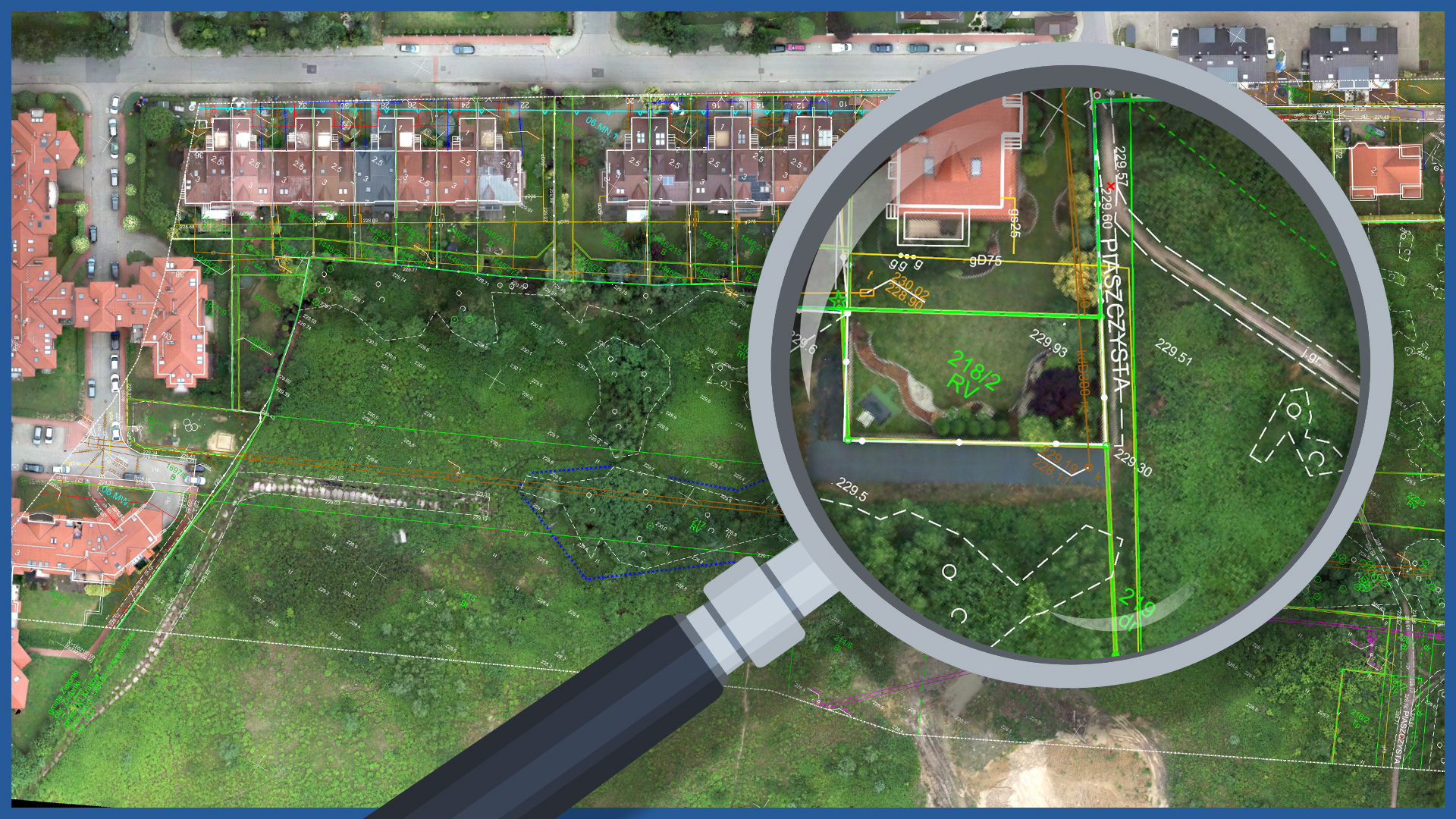
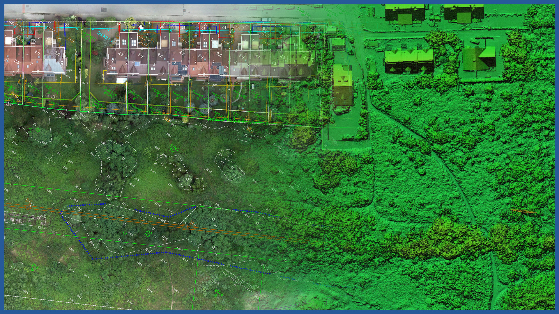
The high-resolution orthophotomaps we make, which are obtained by low-altitude photogrammetry, are characterized by very high accuracy and detail.
They are used at the stage of creating the preparation of the construction process. They allow the general contractor to check the accuracy of the project documentation, to embed the project in the current and real imaging of the area, and to plan the planned works accurately.
Performed periodically during construction, they allow monitoring the progress of ongoing work.
After the project is completed, they become part of the collation report.
Orthophotomaps make it possible to quickly measure the investment with adjacent areas, including inaccessible places. The measurement does not require a stoppage of construction work, increasing the safety of those involved in its execution.
Due to the short time of the photogrammetric raid, it is possible to accurately document the condition on a specific day. This, combined with the speed of data processing, makes the efficiency incomparably greater than classical surveying techniques.
Cartometricity and accuracy of orthophotos allows to perform basic spatial analysis: distance and area measurements. It allows to check the compliance of the implementation with the project documentation, and by superimposing them on the data from the real estate cadastre (parcel boundaries) to check on which parcels of land there are possible transgressions and become the basis for settling disputes.
One of the applications can be to check the design of fellings.
ORTHOPHOTOMAP CHARACTERISTICS:
| Data format | GeoTIFF / JPEG / PDF |
| Ground Sampling Distance | od 1 cm |
| Accuracy | <3 GSD |
| Coordinate System | adapted to project |
| Color palette | 24 bit RGB |
| Compression | LZW / JPEG |
/ OTHER FROM BUILDINGS
- zero measurement
- orthophotomap before beginning of construction
- 3D depictions of the investment and its surroundings
- photoreports
- bulk material storage volume calculation
- facade orthophotos
- preparation and maintenance of a www service depicting the construction process
- photo and video presentation of the completed investment


