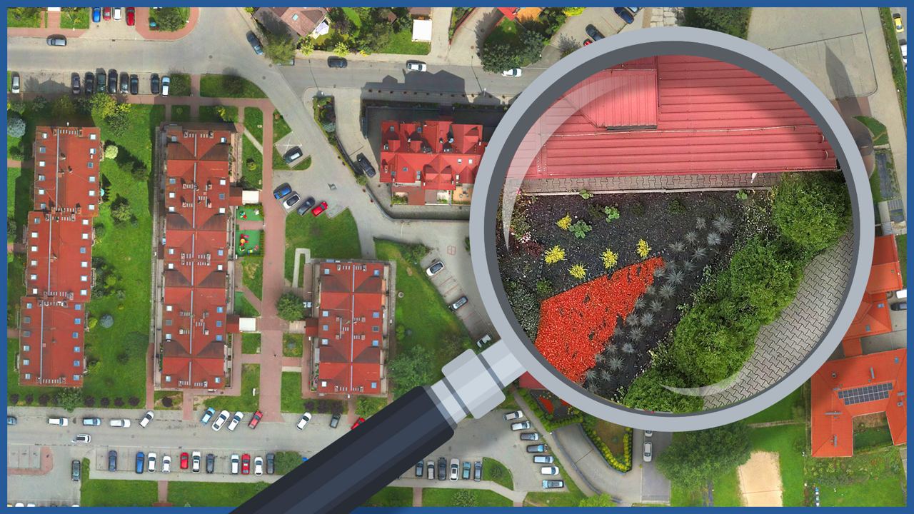
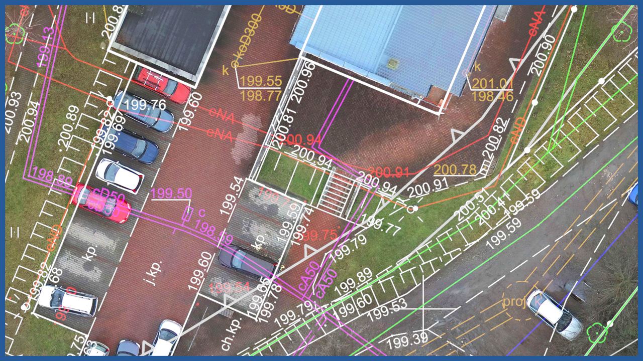
We make high-resolution orthophotomaps with the help of aerial techniques, which are characterized by high spatial resolution ( up to 1 centimeter). They provide detailed and accurate information about land use. They are georeferenced and can be supplemented with additional data (base maps, cadastral maps, spatial plans, boundaries of land subject to applications and permits).
Due to the accurate representation of the terrain, they support design and allow projects to be integrated into the real environment.
Due to the faithful representation of the terrain and the connection to the real estate cadastre, they are the primary source of spatial information about the location of investments or existing buildings.
They can be used, among other things, for:
– verification of the location of investments, structures, buildings in relation to the boundaries of registered plots, land development networks, greenery and existing development
– creation of architectural and urban planning concepts
– analysis of access and access to the public road for investments
– determining the area of impact of the investment on neighboring properties
– obtaining technical conditions for connections.
ORTHOPHOTOMAP CHARACTERISTICS:
| Data format | GeoTIFF / JPEG / PDF |
| Ground Sampling Distance | od 1 cm |
| Accuracy | <3 GSD |
| Coordinate System | adapted to project |
| Color palette | 24 bit RGB |
| Compression | LZW / JPEG |
/ OTHER FROM REAL ESTATE: INVESTMENT, MANAGEMENT, SUPERVISION
- ortophotomaps: a source of spatial information
- measurement and documentation of the condition of the site before the investment
- terrain models
- vegetation map
- documentation of the current status of the investment as of a specific date
- control measurements, inventory, inspections
- aerial thermal imaging of roofs and building facades
- facade orthophotos
- photorealistic 3D models
- virtual tours
- web platform for communication with participants in the investment process with residents
- photo / video documentation


