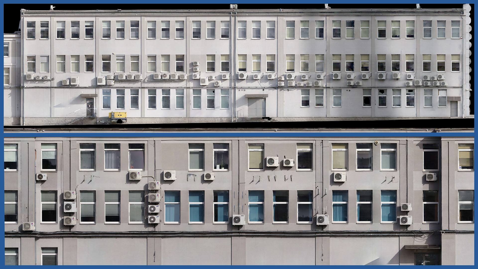
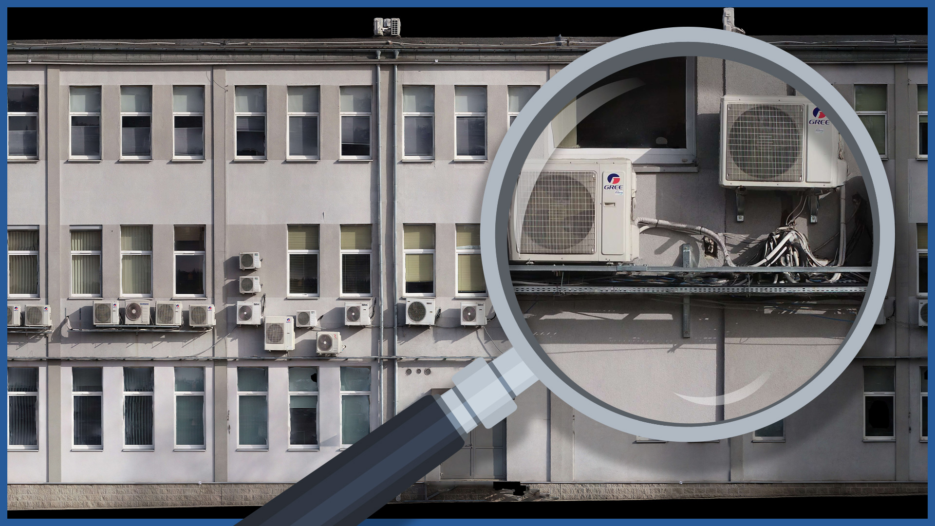
We make detailed orthophotoplans of facades using aerial and/or ground photogrammetry. In this way, we avoid time-consuming measurements by the classical method, as well as generalization in measurement and elaboration. The architect gets a complete picture of both the whole and the details.
The use of unmanned flying vehicles equipped with high-resolution cameras speeds up the work and allows to measure also hard-to-reach places.
Orthophotoplan, which is the final product, is characterized by small (even about 1 mm) pixels. Its accuracy and cartometricity is ensured by using precisely measured photopoints and control points.
Example applications:
– inventory of historic buildings,
– renovation of existing facades (especially complex ones)
In addition, it is possible to present the projection of the facade in colors representing the deviation of the facade from the set plane. This way illustrates the deformation of theoretically flat surfaces.
FACADE ORTHOPHOTO CHARACTERISTICS:
| Data format | TIFF / JPEG / PDF |
| Ground Sampling Distance | od 1mm |
| Color Palette | 24 bit RGB |
| Compression | LZW / JPEG |
| Coordinate System | adapted to project |
/ OTHER FROM REAL ESTATE: INVESTMENT, MANAGEMENT, SUPERVISION
- ortophotomaps: a source of spatial information
- measurement and documentation of the condition of the site before the investment
- terrain models
- vegetation map
- documentation of the current status of the investment as of a specific date
- control measurements, inventory, inspections
- aerial thermal imaging of roofs and building facades
- facade orthophotos
- photorealistic 3D models
- virtual tours
- web platform for communication with participants in the investment process with residents
- photo / video documentation


