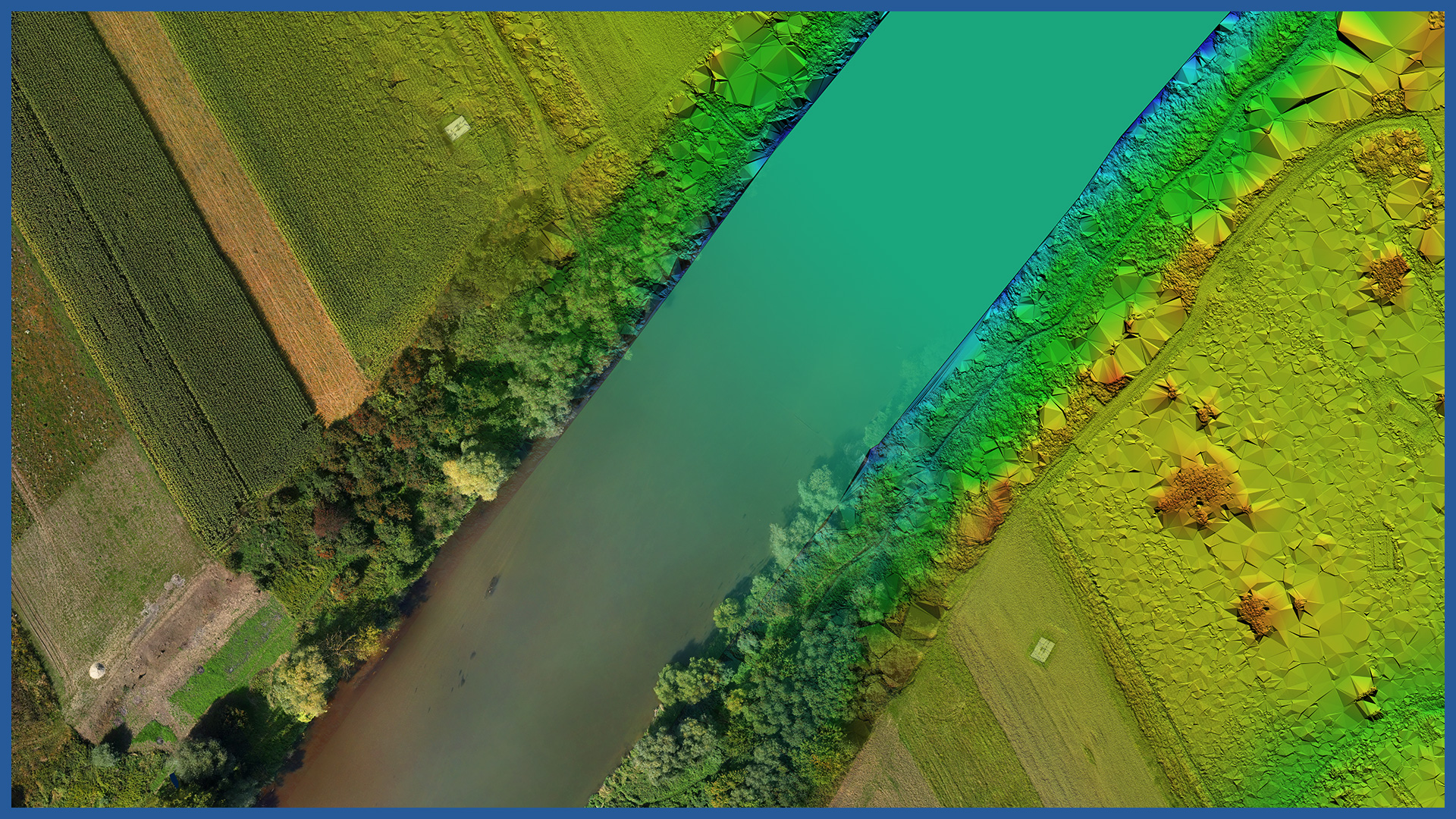
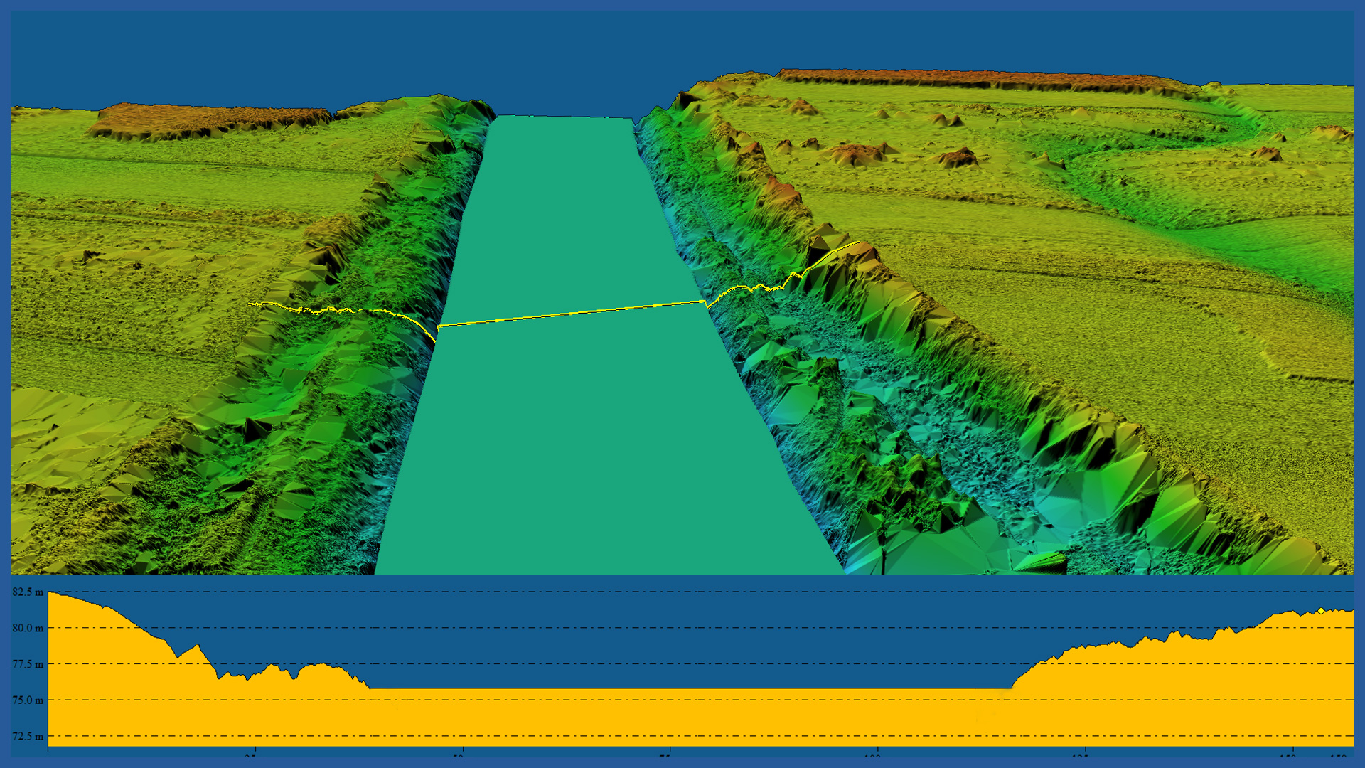
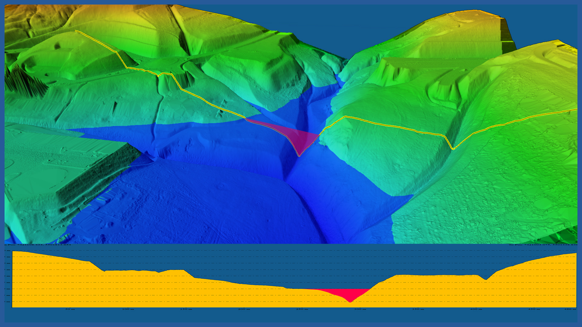
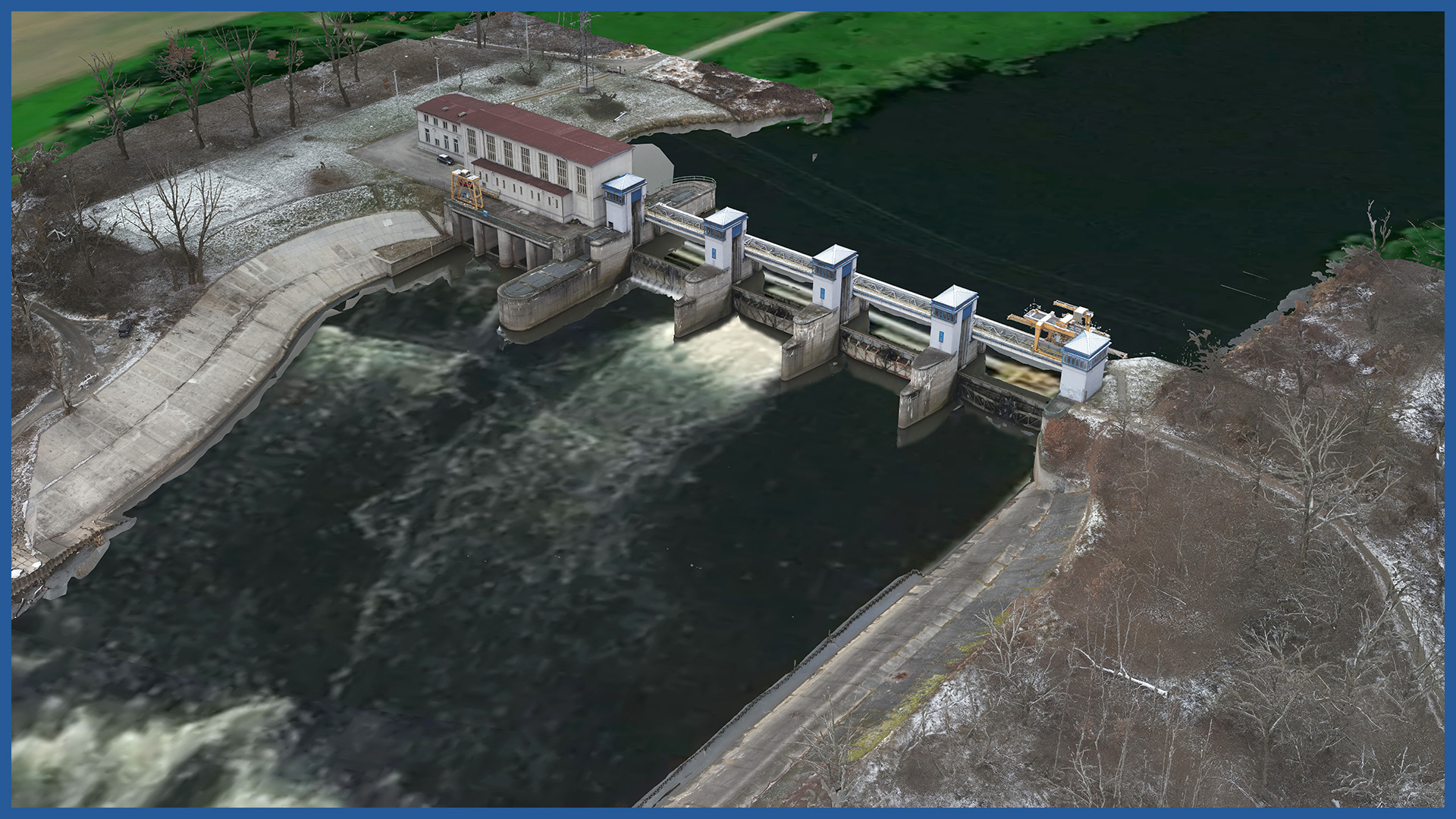
We use modern aerial survey techniques (laser scanning, orthophotos) to precisely and quickly measure river valleys, drainage facilities, bridges and engineering structures and all structures in the surrounding area.
We also take measurements in areas with difficult access.
The developed documentation has a number of applications in hydrotechnical projects, river regulation, flood risk management, legal regulations and official decisions.
Applications of our documentation:
– modeling of river valleys, determination of terrain slopes
– making valley cross-sections
– delineation of dry areas, wetlands, river boundaries
– delineation of floodplains and building lines
– presentation of the coastline against the background of data from the cadastre of real estate (boundaries of land plots, decisions, plans)
– 3D models of hydrotechnical structures and objects
– inventory and inspection of flood embankments
– inventory of trees and greenery along rivers.
The use of an airborne 3D scanner allows us to make an accurate model of the terrain despite the wooded and shrubby areas, as well as in the areas of river banks.
POINT CLOUD CHARACTERISTICS:
| Point cloud density (LiDAR) | ~400 pts/m2 |
| Point cloud density (photogrammetry) | ~2500 pts/m2 |
| Accuracy | <3 cm |
| Data format | LAS / LAZ / E57 / TXT |
| Color palette | RGB / monochromatic / by elevation |
| Classification | ASPRS standard |
| Coordinate System | adapted to project |
DSM / DTM CHARACTERISTICS:
| Data type | raster / vector |
| Data format | GeoTIFF / DWG / DXF / DTM |
| XY accuracy | <3 cm |
| Z accuracy | <3 cm |
| Coordinate System | adapted to project |
| Vertical Reference System | adapted to project |
3D MODEL CHARACTERISTICS:
| Data format | 3ds / dae / obj / tls |
| Coordinate System | adapted to project |
| Vertical Reference System | adapted to project |
| Color palette | RGB / monochromatic / by elevation |
/ OTHER FROM ENVIORNMENT
- vegetation maps
- inventory of greenery, forest complexes
- collisions of vegetation with objects
- inventory and monitoring of felling
- measurement and modeling of river valleys
– embankments inventory
– hydrotechnical facilities inventory


