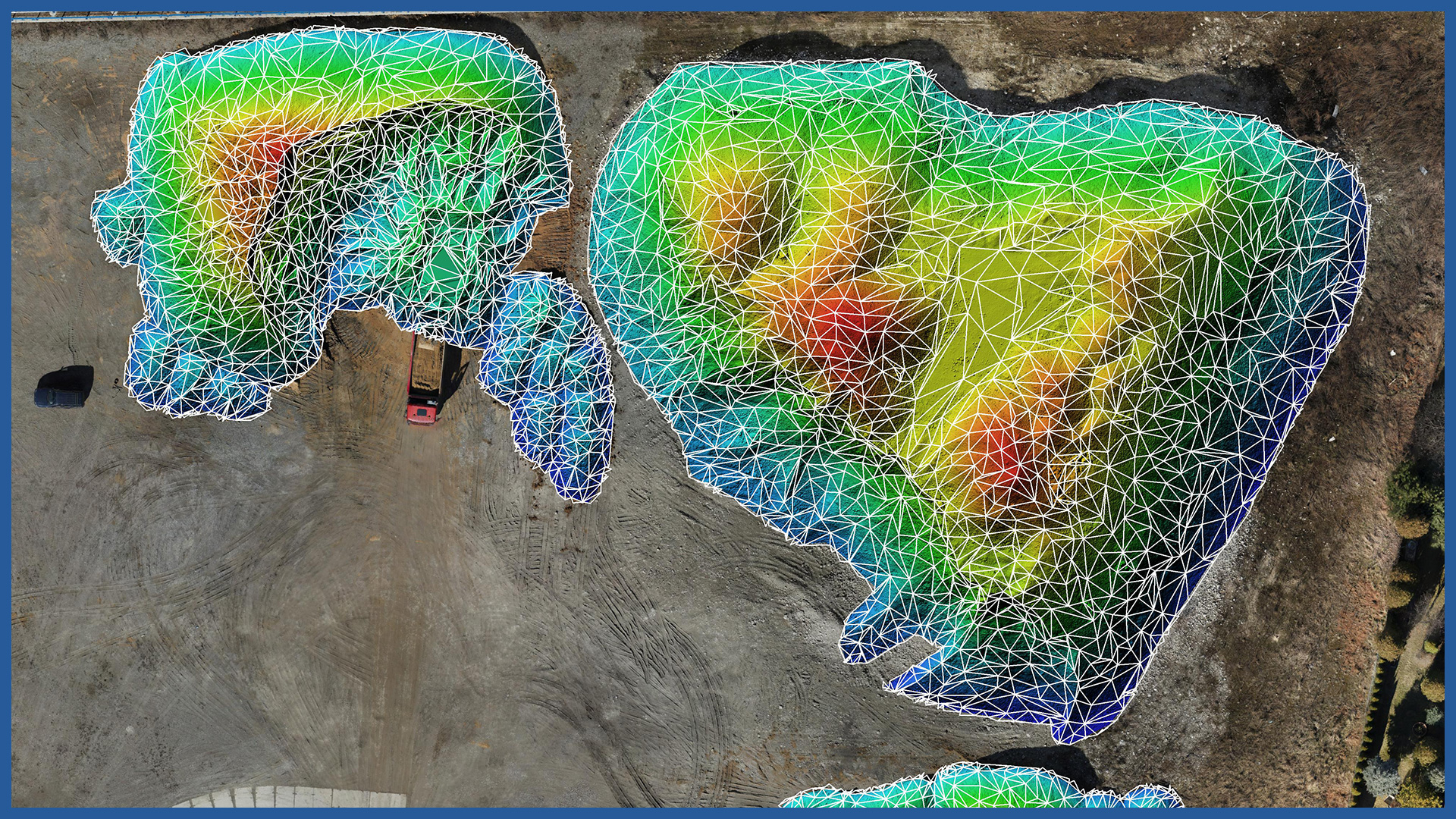
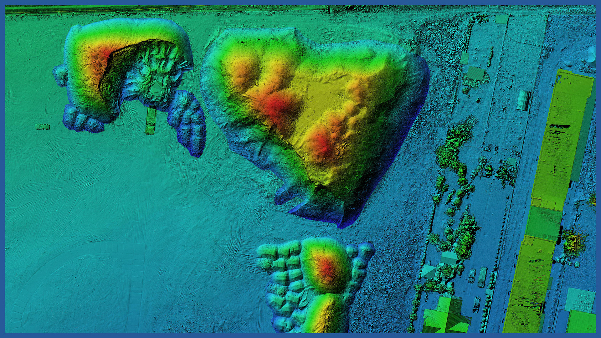
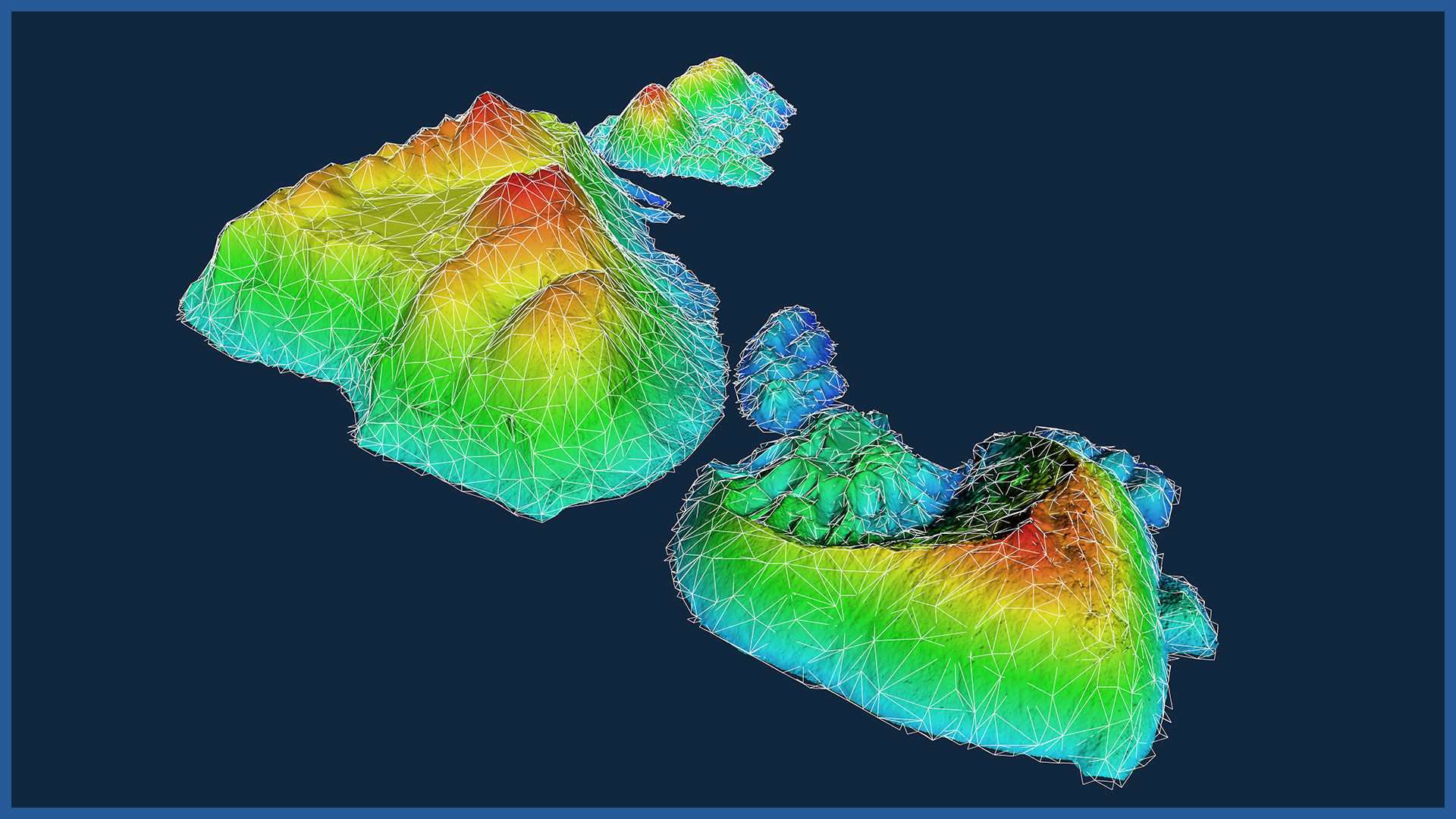
We can quickly and accurately inventory bulk material storage sites, dumps, pits and mines using aerial scanning and photogrammetry.
This method allows a high degree of accuracy and detail. Inaccuracies due to generalization are removed.
We take measurements in a non-invasive and safe manner.
We adapt the method of presentation to the needs and capabilities of the client. We can present the study in 2D or 3D space, make a clear and colorful visualization with a summary of numerical values.
Measurements performed in a cyclic manner allow us to clearly and accurately account for volume differences over a given period, and for evidentiary purposes document the status as of a specific date.
This allows better management of landfills and advance planning. The risk of work stoppage due to lack of materials is minimized.
We can present the results of measurements in tabular forms and on the website, allowing comparison and analysis of individual periods (overlapping, interpenetration, settlement).
DSM / DTM CHARACTERISTICS:
| Data type | raster / vector |
| Data format | GeoTIFF / DWG / DXF / DTM |
| XY accuracy | <3 cm |
| Z accuracy | <3 cm |
| Coordinate System | adapted to project |
| Vertical Reference System | adapted to project |
POINT CLOUD CHARACTERISTICS:
| Point cloud density (LiDAR) | ~400 pts/m2 |
| Point cloud density (photogrammetry) | ~2500 pts/m2 |
| Accuracy | <3 cm |
| Data format | LAS / LAZ / E57 / TXT |
| Color palette | RGB / monochromatic / by elevation |
| Classification | ASPRS standard |
| Coordinate System | adapted to project |
/ OTHER FROM BUILDINGS
- zero measurement
- orthophotomap before beginning of construction
- 3D depictions of the investment and its surroundings
- photoreports
- bulk material storage volume calculation
- facade orthophotos
- preparation and maintenance of a www service depicting the construction process
- photo and video presentation of the completed investment


