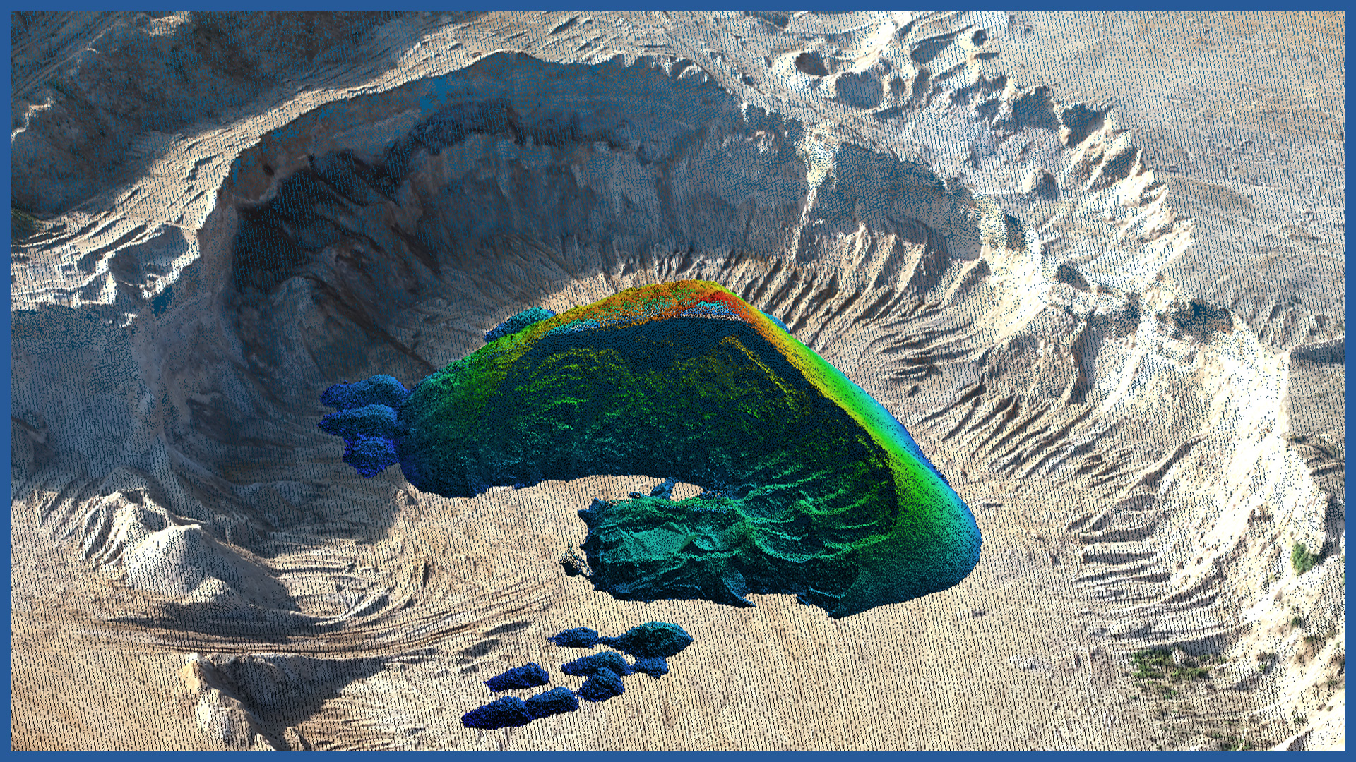
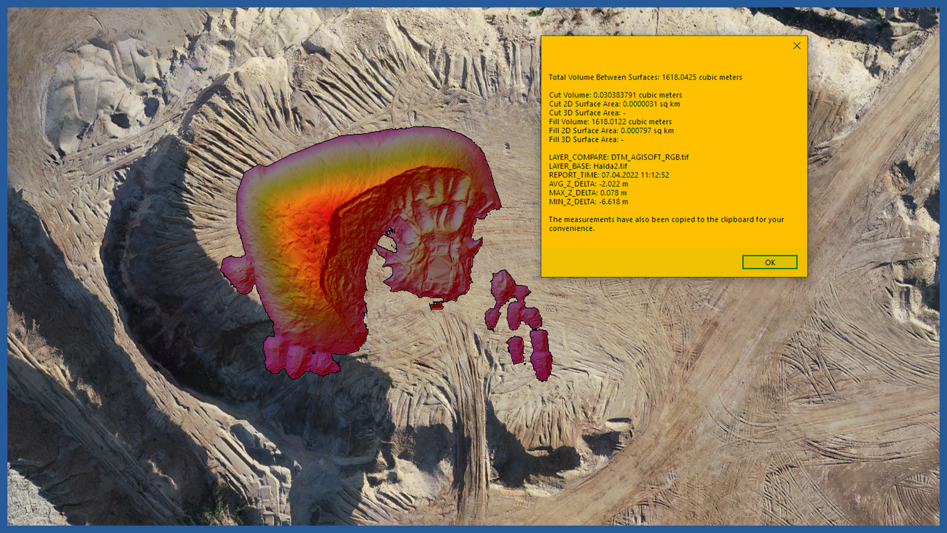
We realize detailed and accurate stockpile measurement using airborne laser scanning and photogrammetry.
This method allows a high degree of accuracy and detail. Inaccuracies due to generalization are omitted. Due to the number of points, the reliability of the volume measurement is within the range up to about 3% of the actual condition.
Measurements are performed in a fast, non-invasive and safe manner. It is not necessary for the persons performing the measurement to move around the stockpiles.
The speed of measurement and processing allows us to develop the documentation for the day, so that it can become a document used in formal matters.
The method of measurement provides accuracy comparable to that obtained with tachymetric or GNSS techniques.
The processing of the data acquired by laser scanning and photogrammetry in specialized software on performance-adapted computers reduces the time of receiving the final results to a minimum.
Presentation of the results can be realized in the form of a 3D model, but also in the traditional way, as tabular summaries, contour grids and cross-sections.
POINT CLOUD CHARACTERISTICS:
| Point cloud density (LiDAR) | ~400 pts/m2 |
| Point cloud density (photogrammetry) | ~2500 pts/m2 |
| Accuracy | <3 cm |
| Data format | LAS / LAZ / E57 / TXT |
| Color palette | RGB / monochromatic / by elevation |
| Classification | ASPRS standard |
| Coordinate System | adapted to project |
CHARAKTERYSTYKA DEM / DTM:
| Data type | raster / vector |
| Data format | GeoTIFF / DWG / DXF / DTM |
| XY accuracy | <3 cm |
| Z accuracy | <3 cm |
| Coordinate System | adapted to project |
| Vertical Reference System | adapted to project |
/ OTHER FROM MINES, STOCKPILES, QUARRIES
- stockpile measurement
- cyclic measurements of changes in excavation volume
- high-resolution orthophotomaps
- point clouds and terrain models
- inspections and analysis
– identification of hazardous locations
– cross sections
– watershed analysis
– transport routes condition


