EQUIPMENT AND TECHNOLOGY
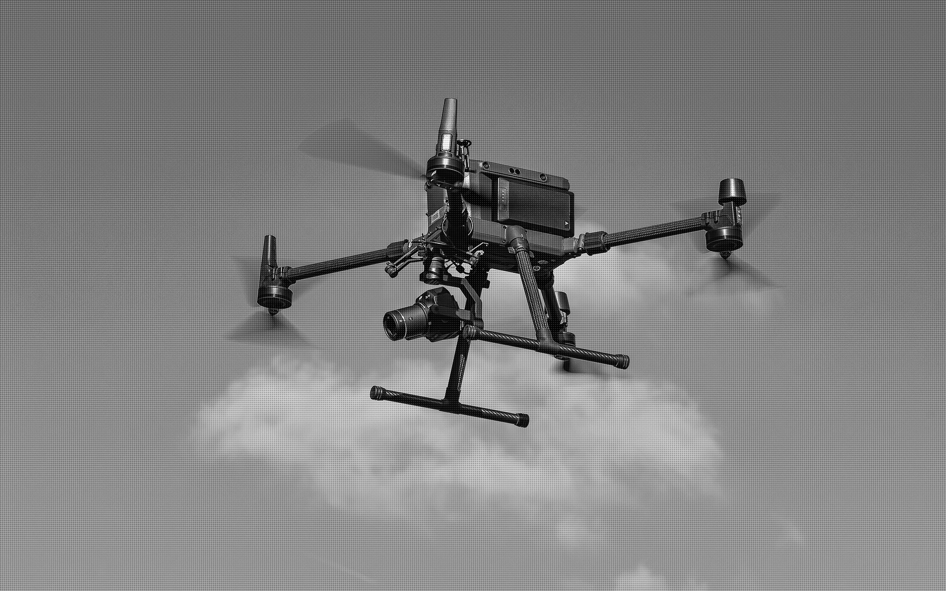
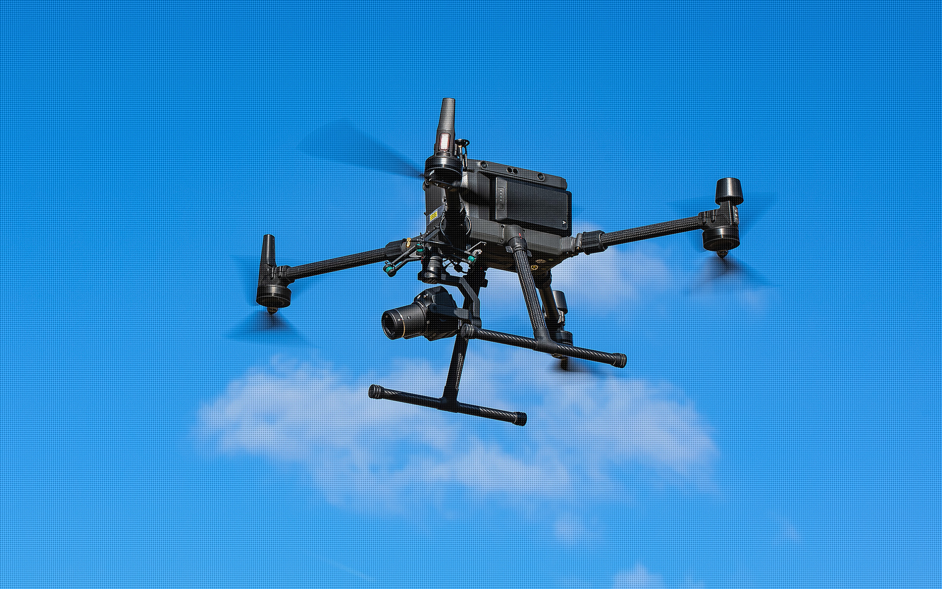
We have top-of-the-line aerial equipment with a precise RTK positioning system, which gives us high measurement accuracy. We improve it by additionally using ground control points and verify it through checkpoints.
We equip our vessels with advanced survey instrumentation: a high-resolution RGB camera and a LIDAR UAV system. These are currently the most modern sets available for recording measurement data. They ensure that we achieve high accuracy, allow flexible integration while maintaining very high reliability.
The camera we use has a full-frame sensor, thanks to which we acquire images with a resolution of 8192 x 5460 pixels and a pixel size of 4.4 μm. Despite the large image size, the camera allows us to record at an interval of 0.7 seconds. Thanks to this class of parameters of the acquired images, we get a field pixel size of even less than 1 cm in our studies.
Each photogrammetric raid is planned in detail to ensure the highest quality of the final product while minimizing flight time and maintaining all safety measures.
Acquired data are processed on top-class workstations, so that the time between the execution of the raid and the generation of the orthophoto is minimized as much as possible.
CAMERA CHARACTERISTICS:
| Sensor size | 35.9 x 24 mm |
| Effective Pixels | 45 MP |
| Pixel size | 4.4 μm |
| Focal length | 35 mm |
| Shot interval | 0.7 s |
| Shutter speed | 1:2000 s |
| Aperture | f/2.8 - f/16 |
ORTHOPHOTOMAP CHARACTERISTICS:
| Data format | GeoTIFF / JPEG / PDF |
| Ground Sampling Distance | od 1 cm |
| Accuracy | <3 GSD |
| Coordinate System | adapted to project |
| Color palette | 24 bit RGB |
| Compression | LZW / JPEG |
3D MODEL CHARACTERISTICS:
| Data format | 3ds / dae / obj / tls |
| Coordinate System | adapted to project |
| Vertical Reference System | adapted to project |
| Color palette | RGB / monochromatic / by elevation |
POINT CLOUD CHARACTERISTICS:
| Point cloud density (photogrammetry) | ~2500 pts/m2 |
| Accuracy | <3 cm |
| Data format | LAS / LAZ / E57 / TXT |
| Color palette | RGB / monochromatic / by elevation |
| Coordinate System | adapted to project |


