EQUIPMENT AND TECHNOLOGY
We have top-of-the-line aerial equipment with a precise RTK positioning system, which gives us high measurement accuracy. We improve it by additionally using photopoints and control points.
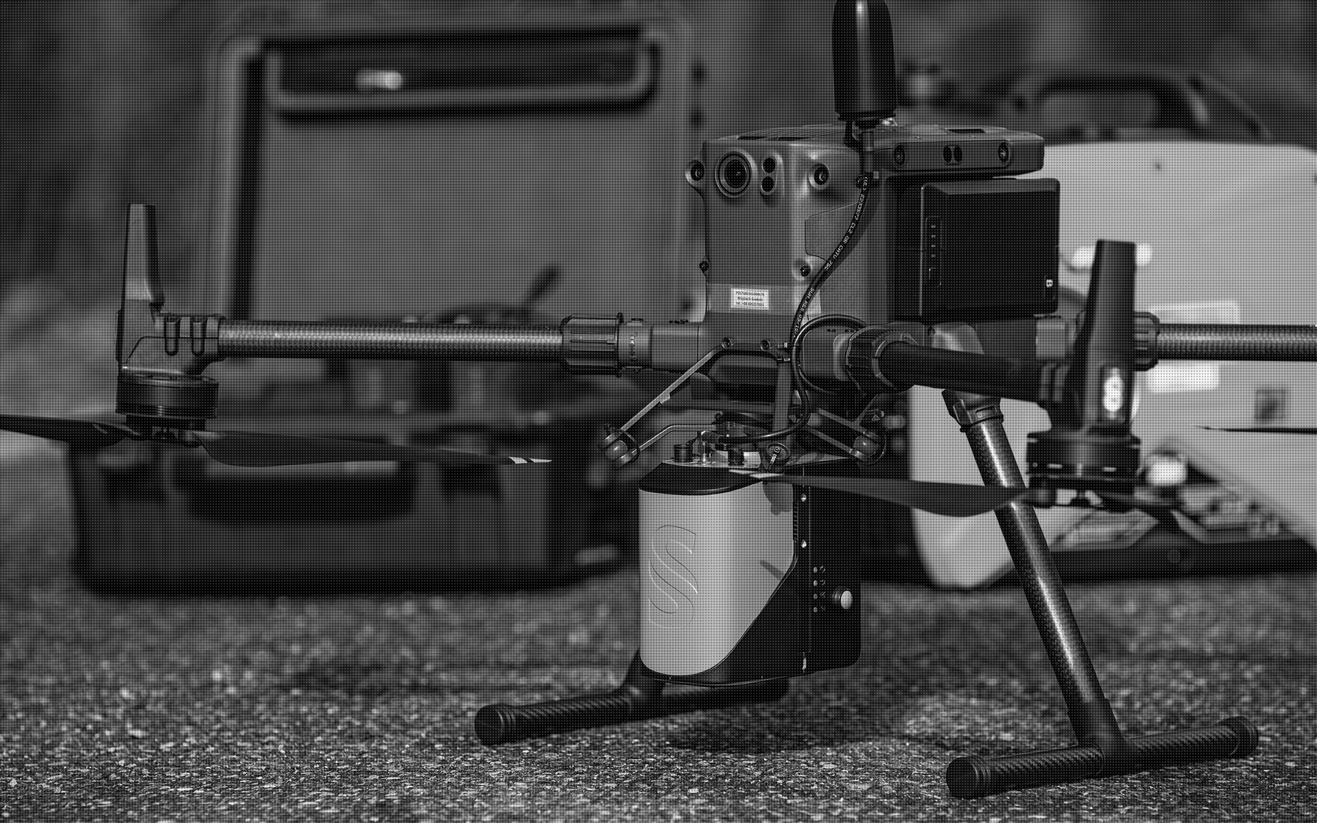
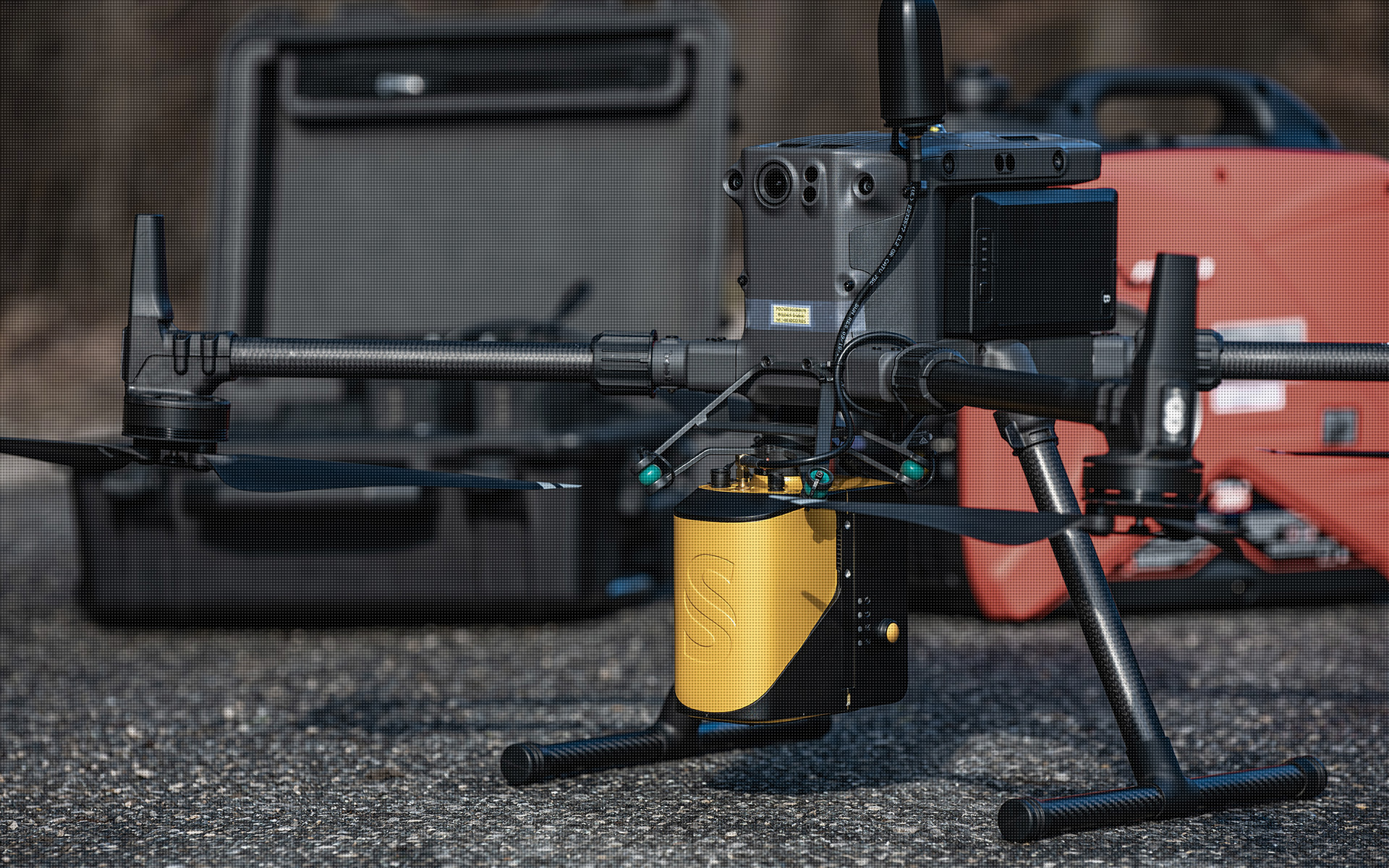
We equip our ships with advanced measurement instrumentation – LIDAR UAV SYSTEM. This is currently the most modern set available for recording measurement data. They provide us with achieving high accuracy, allow flexible integration while maintaining very high reliability.
The LIDAR UAV we use sets new standards for field data acquisition. It is equipped with a high-performance laser scanner integrated with a high-end Applanix IMU and GNSS positioning system. It enables the acquisition of dense point clouds at a scanning speed of 240,000 points per second, achieving 2 cm precision and 3 cm accuracy.
LIDAR technology makes it possible to perform measurements regardless of lighting conditions, sunlit areas and shaded areas are mapped with the same accuracy, the laser beam penetrates through the vegetation layer measuring the ground level, the high density of points allows accurate mapping of the shape and position of objects. Such acquired dense point clouds at a later stage, using specialized software, are subjected to the process of alignment and then filtering and classification into points lying on the ground and other classes in accordance with the ASPRS standard. They constitute a very valuable product in themselves, and derivatives of their further processing can be e.g. numerical terrain/land cover models, terrain profiles, cross and longitudinal sections, volumes, object surfaces, contour maps, terrain slope maps, 3D and 2D visualizations and many other products.
LIDAR UAV SYSTEM CHARACTERISTICS :
| Precison | 2 cm |
| Accuracy | 3 cm |
| Echoes per shot | 2 |
| Laser wavelength | 905 nm |
| IMU | Applanix APX-15 |
| Scanner field of view | 81.7° |
| Shots per second | 240 000 pts/sec |
| GNSS Systems | GPS: L1 C/A, L2C, L2E, L5
GLONASS: L1 C/A, L2 C/A
BeiDou: B1, B2
Galileo: E1, E5A, E5B, E5AltBOC
QZSS: L1 C/A, L1S, L1C, L2C, L5, LEX
SBAS: L1 C/A, L5
MSS L-band: Trimble RTX, OmniSTAR |
| Operating temperature range | -20 ᵒC do +40 ᵒC |
POINT CLOUD CHARACTETISTICS:
| Point cloud density (LiDAR) | ~400 pts/m2 |
| Accuracy | <3 cm |
| Data fomat | LAS / LAZ / E57 / TXT |
| Color palette | RGB / monochromatic/ by elevation |
| Classification | ASPRS standard |
| Coordinate System | adapted to project |


