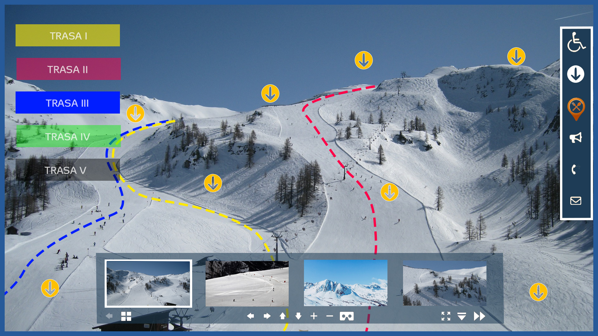
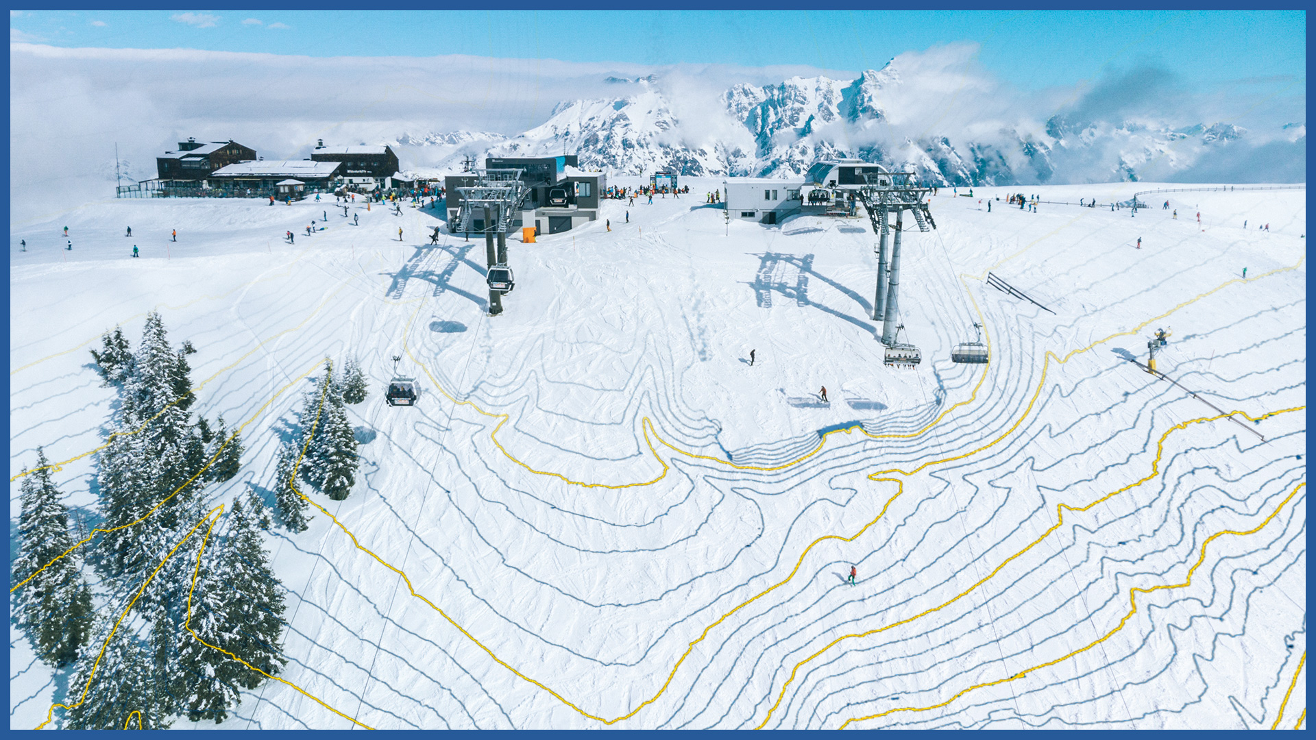
We make interactive presentations of ski slopes in 2D and 3D space, which become a strong marketing element. They allow us to move away from the flat presentation of the slope and ski trails and perform an informative function for managers and users.
We develop the colorful model in specialized software and embed it in the virtual platform. Our programmers can also implement it with functions on the management (operator) side of the slope.
We take measurements using UAVs equipped with a high-resolution full-frame camera and a laser scanner.
A high level of detail is preserved, and the survey can cover the entire complex with its surroundings.
We offer the following slope visualization capabilities:
– high-resolution orthophotomap
– interactive photorealistic 3D model
– panoramic map of the slopes made from 360 panoramic photos in the form of a virtual walk from the air and from the ground
– professional photos and videos prepared and developed by professional photographers.
Implementation on the website is carried out by a virtual platform plug-in.
The result of the work is also an accurate terrain model allowing to perform a number of analyses related to the maintenance of the site or its modernization:
– numerical terrain model for designing slope geometry
– data for snow groomers to achieve proper snow cover and even snow distribution
– terrain slope maps
– water runoff analysis maps
– dense point cloud of the slope and surroundings.


