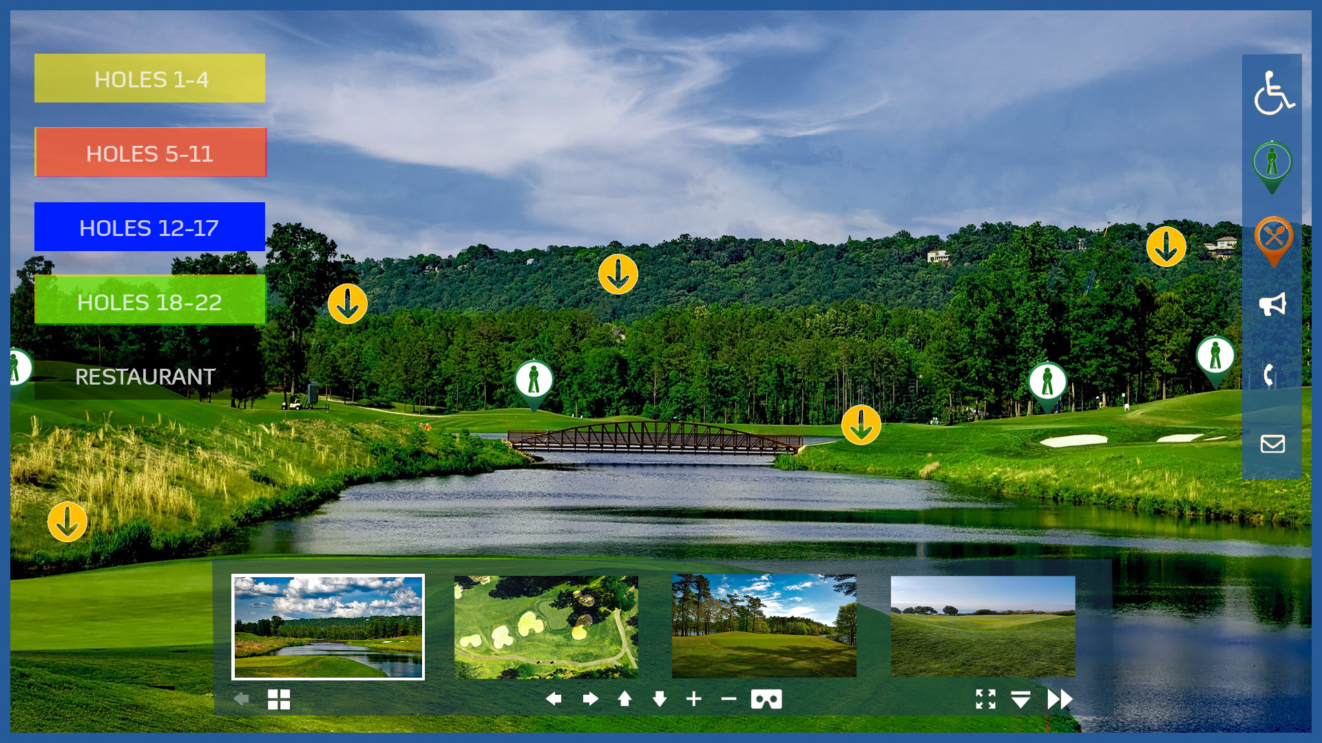
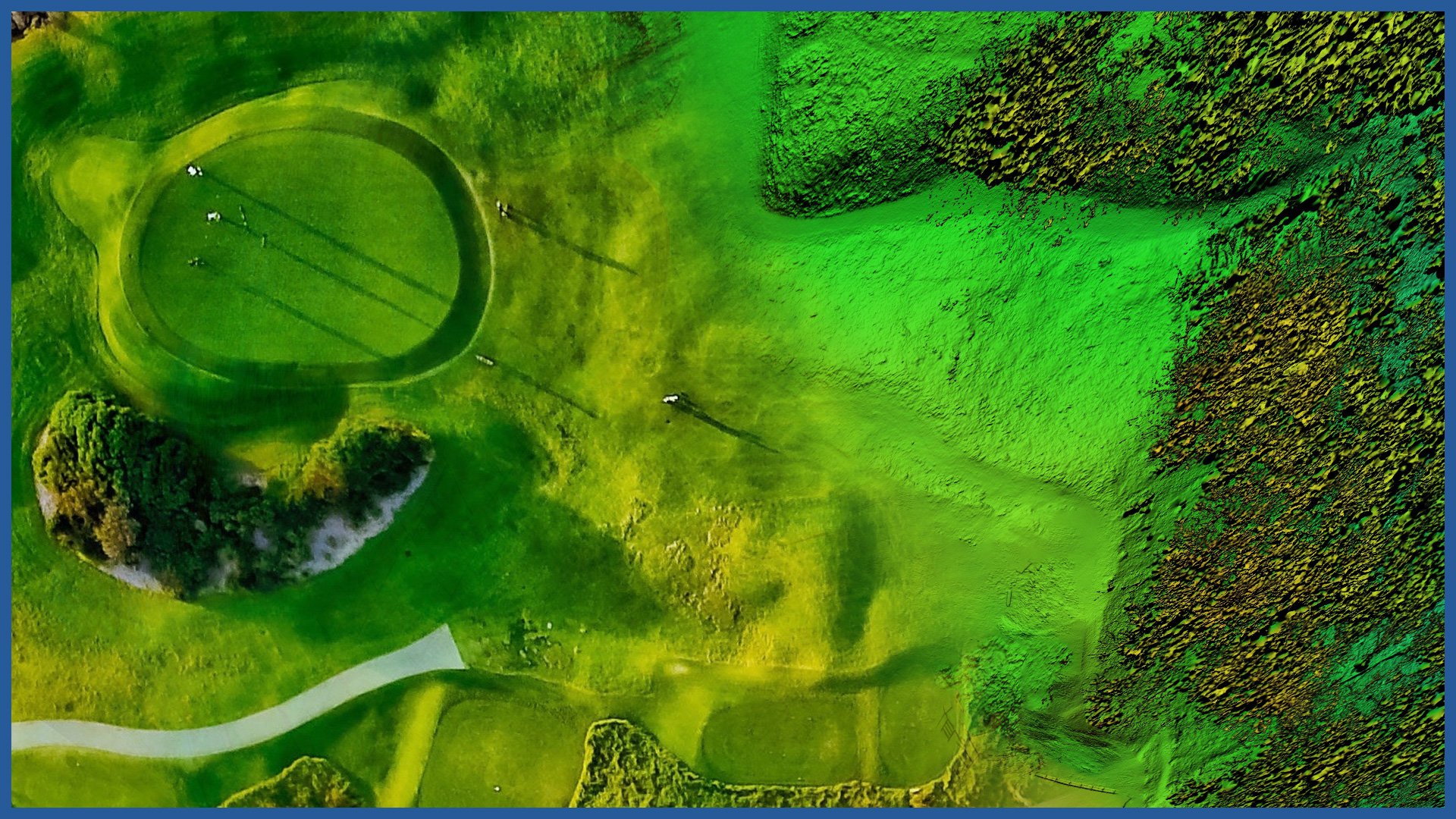
We make impressive visualizations of golf courses in 2D and 3D space. They are not only an advertisement of the facility, but also have an informative function for managers and participants.
A colorful model developed in specialized software and embedded on a virtual platform can be implemented on the website of the golf course manager (operator).
The measurement is performed using unmanned aerial vehicles equipped with a high-resolution full-frame camera and a laser scanner.
A high level of detail (details) is preserved, and the entire complex with its surroundings can be covered by the study.
We make various visualizations of the object, including:
– interactive photorealistic 3D model
– a panoramic map of the field made from 360 panoramic photos in the form of a virtual walk-through from the air and from the ground
– professional photos and videos prepared and developed by specialists.
Implementation on the website is carried out by a virtual platform plug-in.
The result of the work is also an accurate terrain model that allows for a number of analyses related to the maintenance of the site or its modernization:
– geometry analysis
– watershed analysis
– terrain slope maps
– volumes of depressions and elevations
– actual areas of greenery, yards, facilities.


