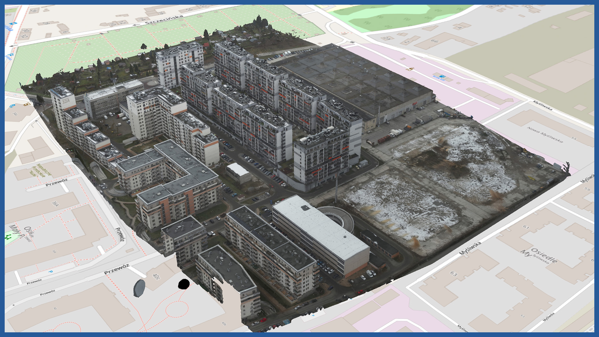
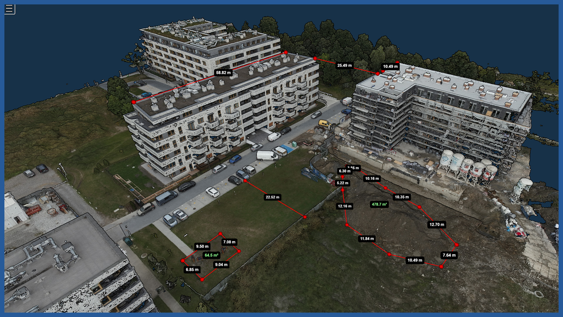
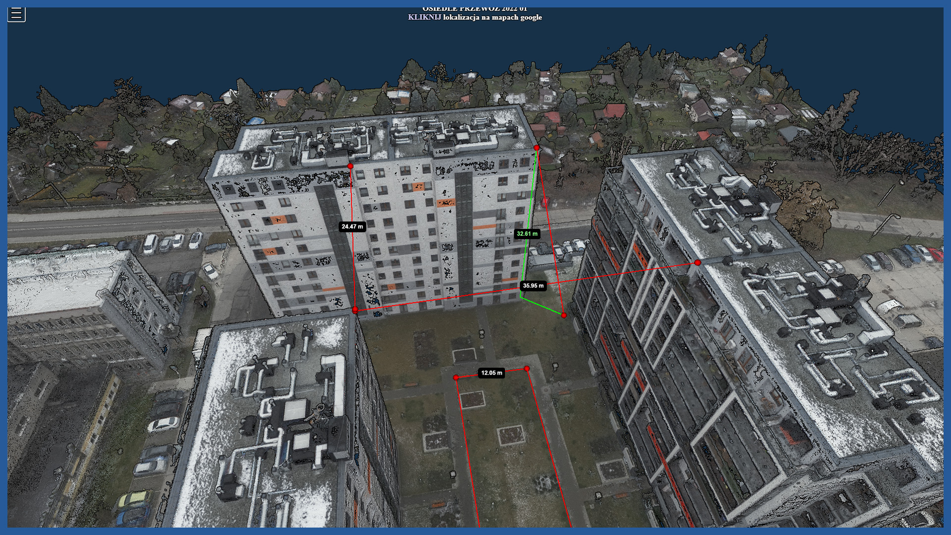
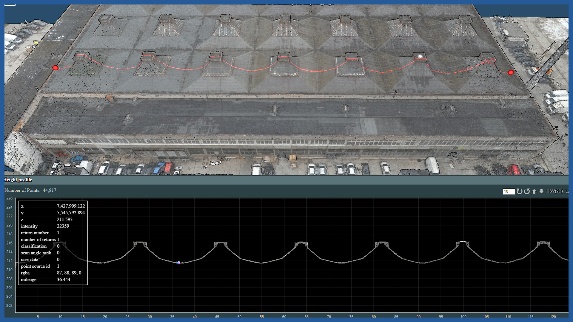
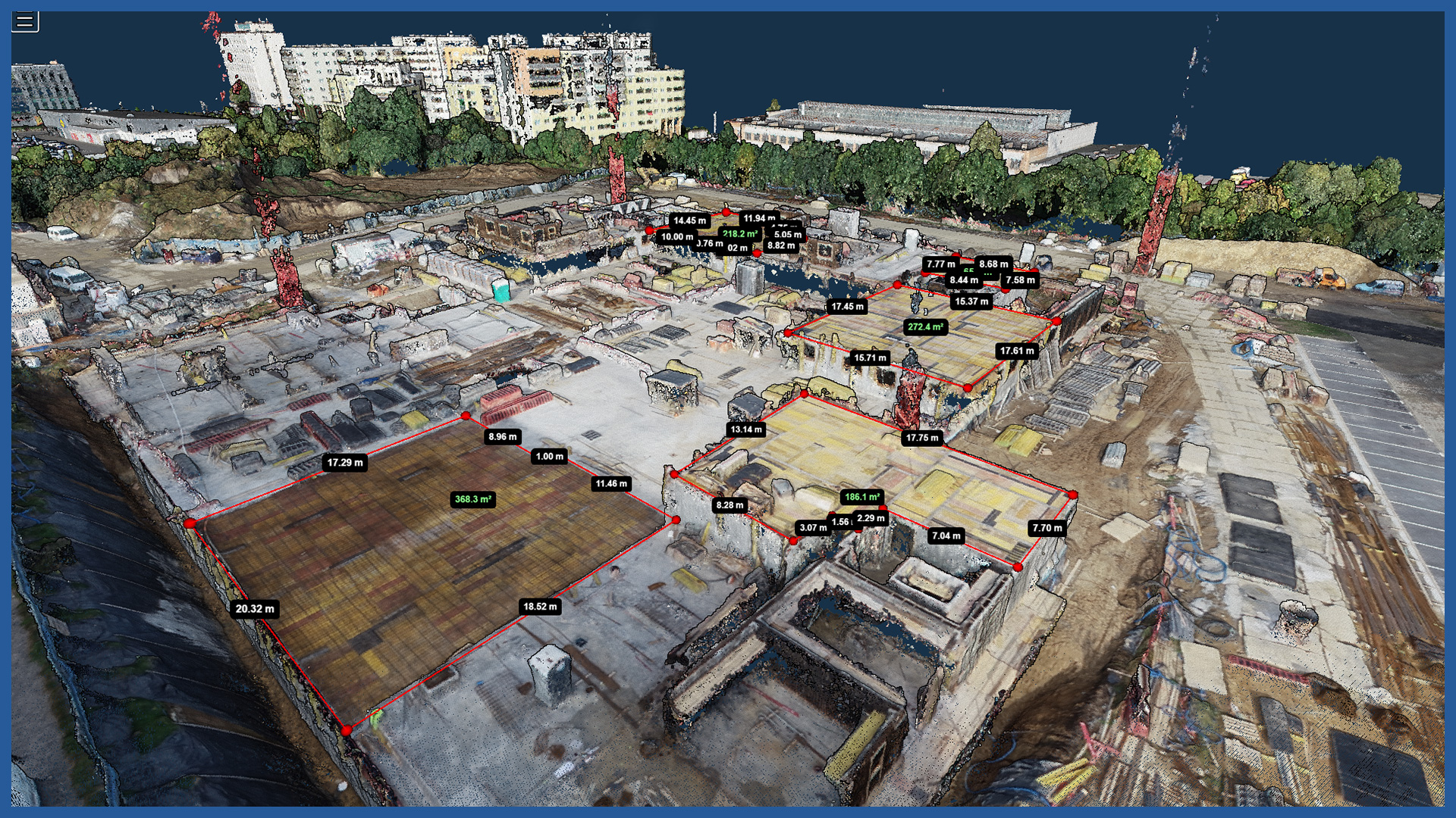
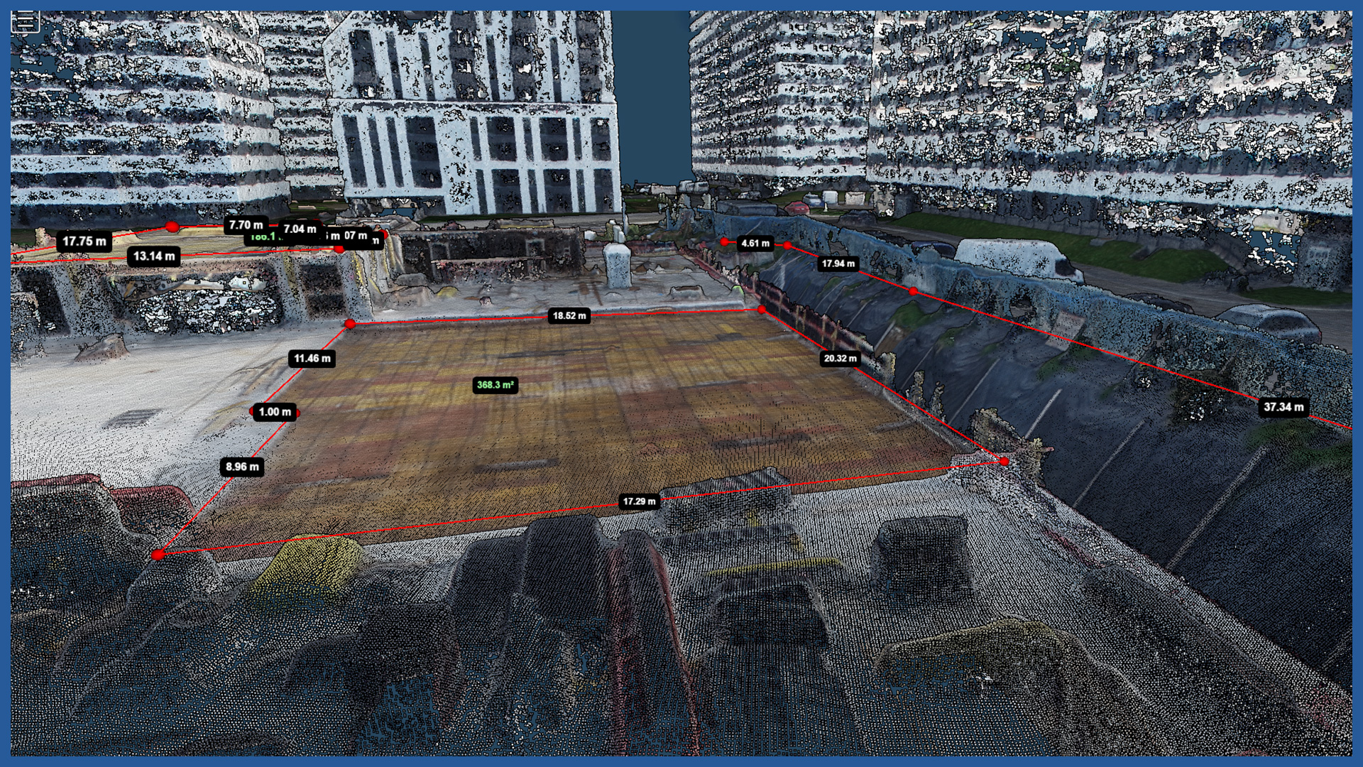
We create websites, where we gather in one place the most important information that illustrates the construction process and makes it easier to conduct it. We provide easy access to orthophotos, terrain models and point clouds. We provide tools for spatial analysis: measurement of length, area, volume, volume referenced to data from any previous measurement. Users do not need to have specialized software.
The website allows to present in the form of vector layers the documentation of each day, gives the possibility to compare the current state of construction with the project, data from another period or from the real estate cadastre. It is possible to generate current cross sections and compare them with the previous state.
The service is transparent, easy to use and accessible online from various devices, and does not require specialized software, as it has the appropriate tools itself. It has functions that facilitate coordination of site work, giving the ability to post notes and indicate areas of interest.
/ OTHER FROM BUILDINGS
- zero measurement
- orthophotomap before beginning of construction
- 3D depictions of the investment and its surroundings
- photoreports
- bulk material storage volume calculation
- facade orthophotos
- preparation and maintenance of a www service depicting the construction process
- photo and video presentation of the completed investment

