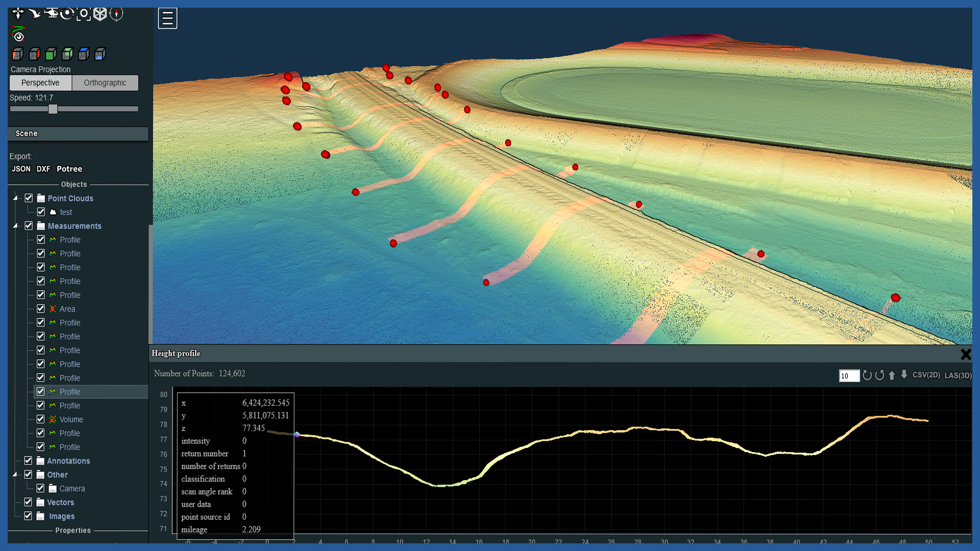
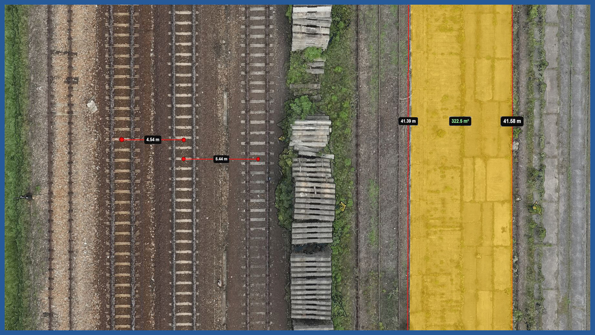
We perform periodic aerial surveys to document the construction process. High-resolution orthophotos taken on a given day record the image of the entire project, including details. Terrain models generated from laser scanning accurately depict changes in earthworks. Professional photo/video documentation performed by us supplements the documentation with images.
We can make the study available in traditional form or on a dedicated web server with access for designated users. Users do not need to have specialized software.
The www portal gathers in one place the most important information to facilitate construction. It gives easy access to orthophotos, terrain models and point clouds. Allows to perform spatial analysis: measurement of length, area, volume.
Periodically made models also reflect very well the changes taking place on the construction site. High-quality documentation of the construction process can serve as evidence in contentious situations during the project.
The website allows to present in the form of vector layers the documentation from particular days, gives the possibility to compare the current state of construction with the project, data from another period or from the real estate cadastre. It is possible to generate current cross sections and compare them with the previous state.
The service is transparent, easy to use and accessible online from various devices, and does not require specialized software, as it has the necessary tools itself. It has functions that facilitate coordination of site work, giving the ability to post notes and indicate areas of interest.
/ OTHER FROM RAILWAY INFRASTRUCTURE
- high-resolution railway orthophotomaps
- dense point clouds
- digital terrain models
- zero measurement
- high-resolution photo/video documentation to assess the condition of the railroad:
– rails and railroad sleepers
– traction network and surrounding infrastructure
– bridges, viaducts, flyovers, engineering structures


