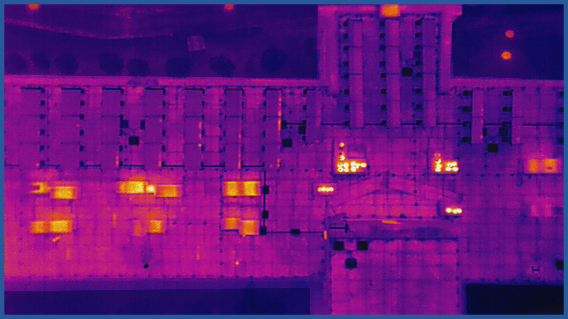
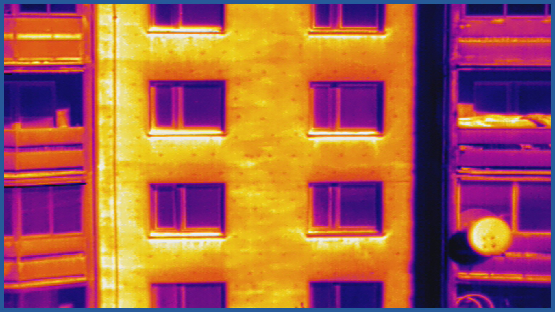
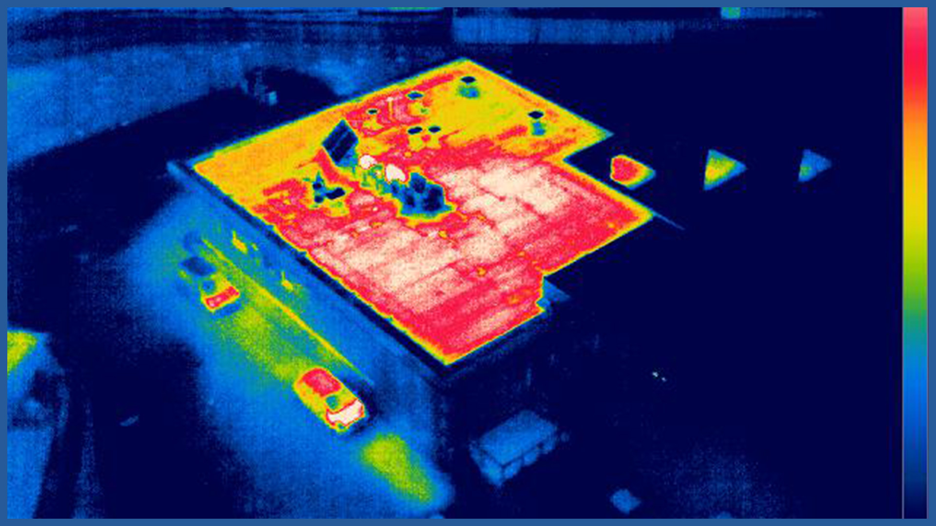
A thermal imaging survey performed by an unmanned aerial vehicle using a specialized thermal imaging camera is designed to check the thermal insulation of a building’s façade and roof. When conducting the survey, the use of aerial techniques succeeds in eliminating the high elevation of the thermal imaging camera that occurs when thermal imaging measurements are conducted from ground level. This eliminates the unfavorable influence of the radiation temperature of the sky. On thermograms acquired using aerial techniques, we can see defects that are impossible to pick up from the ground.
A professional unmanned aircraft allows us to perform precise flight and approach the minimum safe distance to the object under study. This gives the possibility of obtaining studies with much higher accuracy.
This relatively young and new-time technique of measuring the thermal insulation of a building allows to catch various deficiencies, defects, execution errors in the insulation of a building, without the need to test rooms already inhabited or developed from the inside. These can be, for example, underestimation of companies insulating buildings, installing window and door frames, performing roofing, or simply wear and tear of the material caused by the time of use.
Examples of applications:
- verification of the attic insulation
- validating the continuity of rims thermal insulation
- detecting differences in the thickness of insulation
- detection of moisture
- localization of roof leaks
- general localization of heat losses
PRODUCT CHARACTERISTICS:
| resolution | 640x512 |
| pixel size | 17 μm |
| data format | JPEG / TIFF / R-JPEG |
| sensitivity (NEdT) | <50mK@f/1.0 |
| spectral band | 7.5-13.5μm |
/ OTHER FROM REAL ESTATE: INVESTMENT, MANAGEMENT, SUPERVISION
- ortophotomaps: a source of spatial information
- measurement and documentation of the condition of the site before the investment
- terrain models
- vegetation map
- documentation of the current status of the investment as of a specific date
- control measurements, inventory, inspections
- aerial thermal imaging of roofs and building facades
- facade orthophotos
- photorealistic 3D models
- virtual tours
- web platform for communication with participants in the investment process with residents
- photo / video documentation


