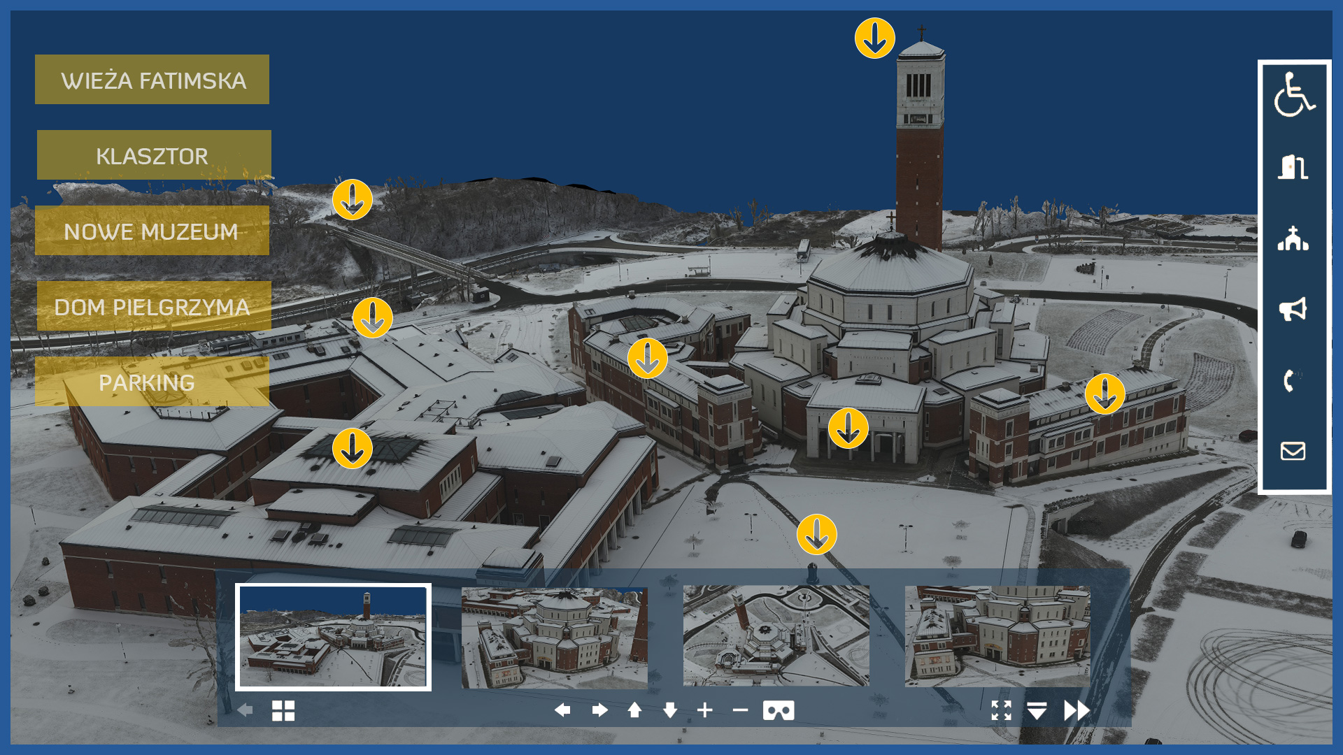
Impressive visualizations of estates, buildings in 2D and 3D space are not only an advertisement of the object, but also have an informative function for managers and participants.
A colorful model developed in specialized software and embedded in a virtual platform can be implemented on the site of the investor, real estate agency, manager.
We make impressive visualizations of settlements, buildings in 2D and 3D space, which are not only an advertisement of the object, but also have an informative function for managers and participants.
We take measurements using unmanned aerial vehicles equipped with a high-resolution full-frame camera and a laser scanner.
A high level of detail (details) is preserved, and the study can cover the entire complex with its surroundings.
We offer various forms of object visualization:
– interactive photorealistic 3D model
– panoramic map of the field made from 360 panoramic photos in the form of a virtual tour from the air and from the ground
– professional photos and videos prepared and developed by specialists.
/ OTHER FROM REAL ESTATE: INVESTMENT, MANAGEMENT, SUPERVISION
- ortophotomaps: a source of spatial information
- measurement and documentation of the condition of the site before the investment
- terrain models
- vegetation map
- documentation of the current status of the investment as of a specific date
- control measurements, inventory, inspections
- aerial thermal imaging of roofs and building facades
- facade orthophotos
- photorealistic 3D models
- virtual tours
- web platform for communication with participants in the investment process with residents
- photo / video documentation

