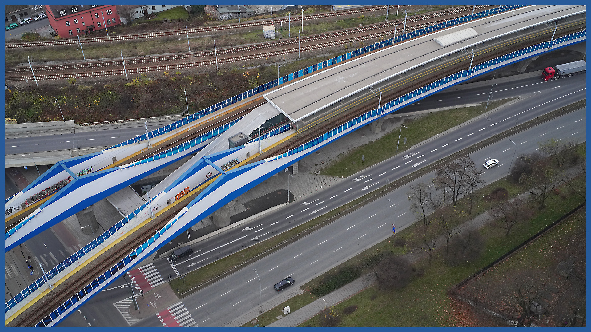
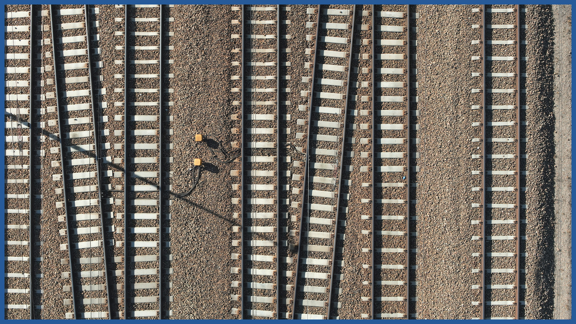
The photo/video documentation we perform with aerial techniques complements or replaces railroad inspections performed with traditional methods.
Its advantage is the detail and gathering of a large amount of data.
The method of surveying is safe and does not force the necessity of traffic restrictions on railroad routes.
The visualization is clear and unambiguous for any interested party and presents both the whole investment and its details. It becomes an efficient platform for communication between participants in the construction process.
We use high-resolution cameras with professional lenses and a large matrix and thus it is possible to assess the technical condition of the railroad line, including but not limited to:
– railroad rails
– railroad sleepers
– overhead catenary along with the accompanying infrastructure
– engineering facilities located on the route of the railroad line
– platforms.
Our images are georeferenced to locate them with centimeter accuracy.
PRODUCT CHARACTERISTICS:
| product type | report/ photo library / video library |
| photo format | jpg / raw / pdf |
| video format | avi / mp4 / mov |
| data sharing | HDD / SSD / www / FTP |
| signature type | time + geolocation |
/ OTHER FROM RAILWAY INFRASTRUCTURE
- high-resolution railway orthophotomaps
- dense point clouds
- digital terrain models
- zero measurement
- high-resolution photo/video documentation to assess the condition of the railroad:
– rails and railroad sleepers
– traction network and surrounding infrastructure
– bridges, viaducts, flyovers, engineering structures


