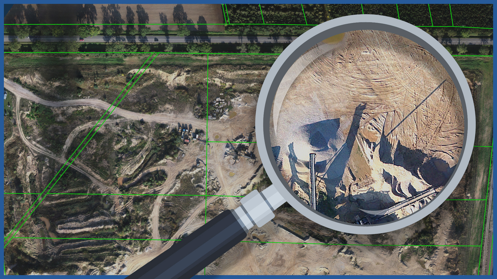
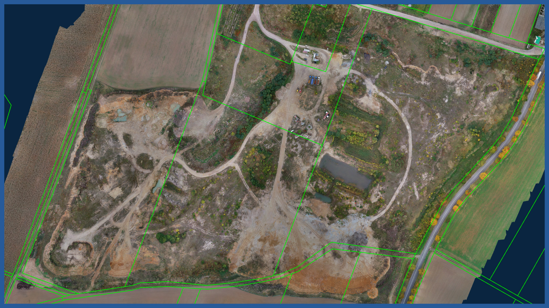
We produce high-resolution orthophotomaps of excavations characterized by very high detail and accuracy. The spatial resolution of our orthophotos is adapted to the order and can be as low as 1cm.
We conduct measurements in a safe and fast way.
Orthophotomap is a study documenting the condition of an excavation on a specific day. It is a real image of the area having full cartometricity. It is an ideal base for vector data, so it can be supplemented, for example, with data on the boundaries of registered land plots or utility networks.
Ortofotomapa znajduje zastosowania jako:
- a component of the analysis of excavation parameters
- an element of specialized technical expertise (e.g., evaluation of transport routes, approximation of the edges of the excavation to other objects)
- a basis for concepts and projects of necessary protective, investment activities
- security of evidence in possible disputes.
ORTHOPHOTOMAP CHARACTERISTICS:
| Data format | GeoTIFF / JPEG / PDF |
| Ground Sampling Distance | od 1 cm |
| Accuracy | <3 GSD |
| Coordinate System | adapted to project |
| Color palette | 24 bit RGB |
| Compression | LZW / JPEG |
/ OTHER FROM MINES, STOCKPILES, QUARRIES
- stockpile measurement
- cyclic measurements of changes in excavation volume
- high-resolution orthophotomaps
- point clouds and terrain models
- inspections and analysis
– identification of hazardous locations
– cross sections
– watershed analysis
– transport routes condition


