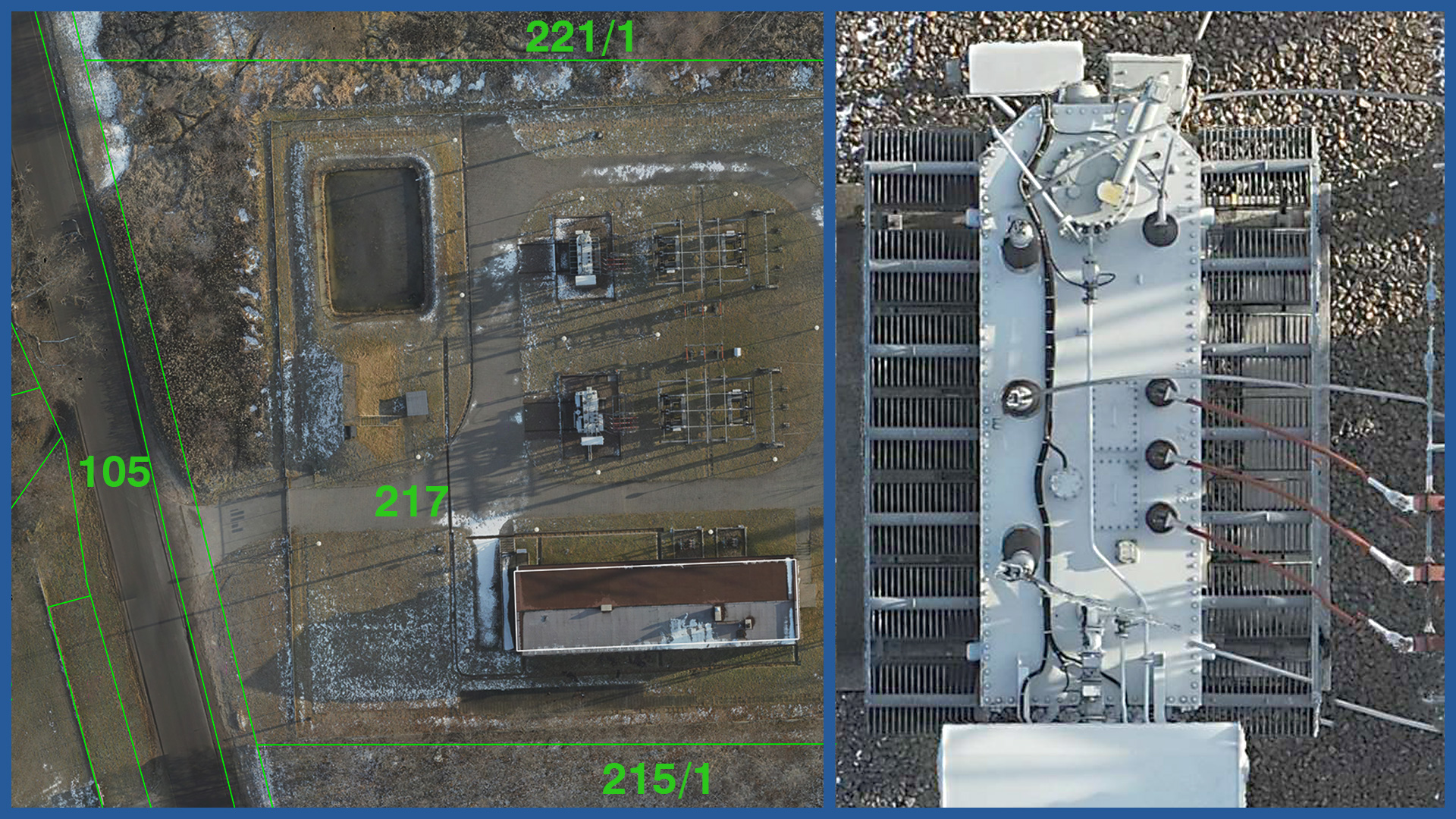
We make high-resolution orthophotomaps of substations and traction substations using low-altitude photogrammetry. Thanks to this they are characterized by very high accuracy and detail. The measurement is carried out quickly and safely, despite the large number of devices in the substation area.
Despite the speed of the measurement, a high level of detail is maintained. The size of the field pixel on the orthophoto is less than 1 cm. The high accuracy of the product is provided by a combination of RTN technology (which the drone uses) and photopoints.
The average position error of a single point ranges from 1 to 5 (under very unfavorable conditions) centimeters.
Orthophotos with such high resolution and accuracy are a complement to maps for design purposes or a stand-alone product as a base for station reconstruction.
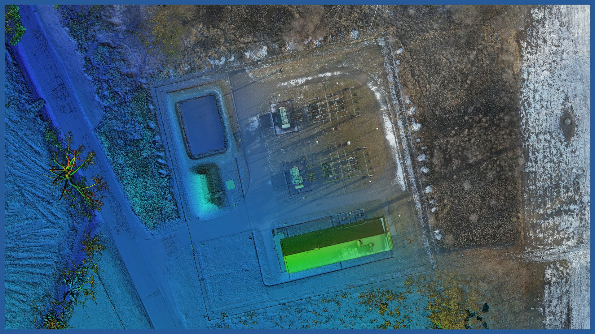
The images we take during a photogrammetric raid can be used to create a raster elevation model showing land cover with high situational and elevation accuracy. Such a study supplements the bases with a range of new information.
ORTHOPHOTOMAP CHARACTERISTICS:
| Data format | GeoTIFF / JPEG / PDF |
| Ground Sampling Distance | od 1 cm |
| Accuracy | <3 GSD |
| Coordinate System | adapted to project |
| Color palette | 24 bit RGB |
| Compression | LZW / JPEG |
DSM / DTM CHARACTERISTICS:
| Data type | raster / vector |
| Data format | GeoTIFF / DWG / DXF / DTM |
| XY accuracy | <3 cm |
| Z accuracy | <3 cm |
| Coordinate System | adapted to project |
| Vertical Reference System | adapted to project |
/ OTHER FROM ENERGETICS
Power lines:
– powerlines modeling
– calculating catenary parameters
– powerlines profiles
Electricity stations / traction substations:


